
| Memorials | : | 4 |
| Location | : | Anna, Union County, USA |
| Coordinate | : | 37.4605000, -89.1389000 |
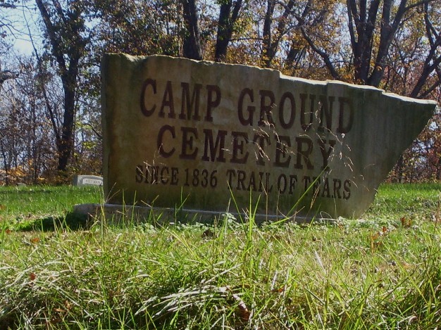
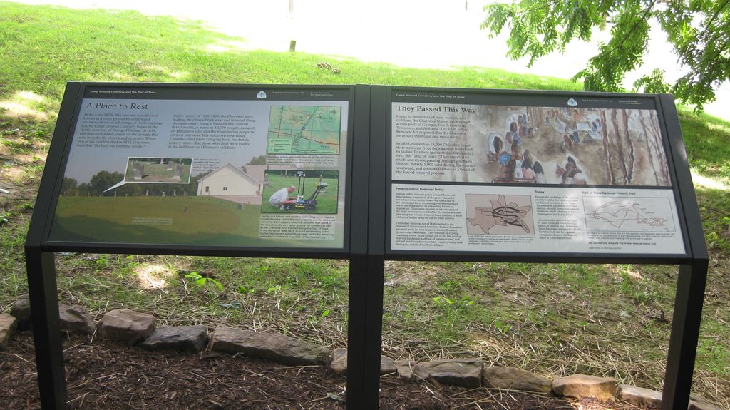
| Description | : | In the early 1800s, this area was wooded and known as a camp ground by settlers and travelers, who took advantage of the five springs nearby. Camp Ground Cemetery began as the family cemetery of George Hileman. In 1834, Hileman took a land patent on the acreage that now includes the church and cemetery. When two of his children died in 1838, they were buried in "the field out from the house." In the winter of 1838-1839, the Cherokee were making their forced trek west and traveled along the main road - today's Tunnel Lane. Several detachments, as many as 10,000 people,... Read More |
frequently asked questions (FAQ):
-
Where is Camp Ground Cemetery?
Camp Ground Cemetery is located at Campground Road Anna, Union County ,Illinois , 62906USA.
-
Camp Ground Cemetery cemetery's updated grave count on graveviews.com?
4 memorials
-
Where are the coordinates of the Camp Ground Cemetery?
Latitude: 37.4605000
Longitude: -89.1389000
Nearby Cemetories:
1. King Neptune Memorial
Anna, Union County, USA
Coordinate: 37.4657460, -89.1324740
2. Trinity Cemetery
Anna, Union County, USA
Coordinate: 37.4771996, -89.1782990
3. McGinnis Cemetery
Anna, Union County, USA
Coordinate: 37.4435997, -89.0986023
4. Mount Pleasant Mennonite Church Cemetery
Dongola, Union County, USA
Coordinate: 37.4453000, -89.0849630
5. Sitter Cemetery
Union County, USA
Coordinate: 37.5060997, -89.1474991
6. Saratoga Cemetery
Union County, USA
Coordinate: 37.5080986, -89.1639023
7. Mount Pleasant Mennonite School Cemetery
Dongola, Union County, USA
Coordinate: 37.4439940, -89.0764190
8. Williams Cemetery
Saratoga, Union County, USA
Coordinate: 37.5042000, -89.1785965
9. Old Mount Pleasant Cemetery
Union County, USA
Coordinate: 37.4456730, -89.0709580
10. Karaker Cemetery
Union County, USA
Coordinate: 37.4996986, -89.1928024
11. Big Creek Cemetery
Dongola, Union County, USA
Coordinate: 37.4195640, -89.1938950
12. Wall Cemetery
Union County, USA
Coordinate: 37.5177994, -89.1166992
13. Leyerle Cemetery
Dongola, Union County, USA
Coordinate: 37.4035060, -89.1825910
14. Christian Chapel Cemetery
Dongola, Union County, USA
Coordinate: 37.3881760, -89.1310960
15. Ebenezer Hall Cemetery
Lick Creek, Union County, USA
Coordinate: 37.5261002, -89.0982971
16. Goddard Cemetery
Lick Creek, Union County, USA
Coordinate: 37.4958000, -89.0563965
17. Kelly Cemetery
Cobden, Union County, USA
Coordinate: 37.5266991, -89.1832962
18. Mount Zion Cemetery
Union County, USA
Coordinate: 37.4110985, -89.0653000
19. Lick Creek Cemetery
Union County, USA
Coordinate: 37.5213600, -89.0786300
20. Keller Cemetery
Lick Creek, Union County, USA
Coordinate: 37.5360985, -89.1160965
21. Hinkle Cemetery
Dongola, Union County, USA
Coordinate: 37.3807983, -89.1294022
22. Anna State Hospital Cemetery
Anna, Union County, USA
Coordinate: 37.4700000, -89.2400000
23. Anna Cemetery
Anna, Union County, USA
Coordinate: 37.4551440, -89.2412140
24. Knupp Cemetery
Union County, USA
Coordinate: 37.4341030, -89.2375120