
| Memorials | : | 0 |
| Location | : | Dongola, Union County, USA |
| Coordinate | : | 37.4439940, -89.0764190 |
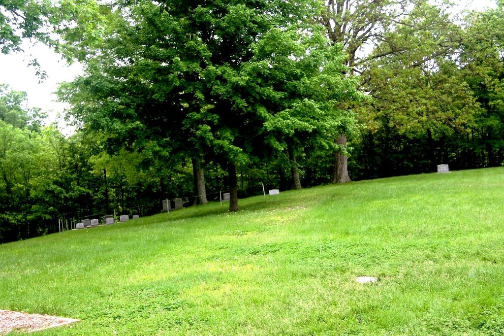
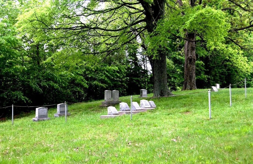
| Description | : | Located on the property of the Mount Pleasant Mennonite School |
frequently asked questions (FAQ):
-
Where is Mount Pleasant Mennonite School Cemetery?
Mount Pleasant Mennonite School Cemetery is located at 9685 State Route 146 E Dongola, Union County ,Illinois , 62926USA.
-
Mount Pleasant Mennonite School Cemetery cemetery's updated grave count on graveviews.com?
0 memorials
-
Where are the coordinates of the Mount Pleasant Mennonite School Cemetery?
Latitude: 37.4439940
Longitude: -89.0764190
Nearby Cemetories:
1. Old Mount Pleasant Cemetery
Union County, USA
Coordinate: 37.4456730, -89.0709580
2. Mount Pleasant Mennonite Church Cemetery
Dongola, Union County, USA
Coordinate: 37.4453000, -89.0849630
3. McGinnis Cemetery
Anna, Union County, USA
Coordinate: 37.4435997, -89.0986023
4. Mount Zion Cemetery
Union County, USA
Coordinate: 37.4110985, -89.0653000
5. Pleasant Grove Cemetery
Pleasant Grove, Johnson County, USA
Coordinate: 37.4405600, -89.0305600
6. King Neptune Memorial
Anna, Union County, USA
Coordinate: 37.4657460, -89.1324740
7. Allen Cemetery
Johnson County, USA
Coordinate: 37.4791985, -89.0299988
8. Camp Ground Cemetery
Anna, Union County, USA
Coordinate: 37.4605000, -89.1389000
9. Goddard Cemetery
Lick Creek, Union County, USA
Coordinate: 37.4958000, -89.0563965
10. Mount Pisgah Cemetery
Cypress, Johnson County, USA
Coordinate: 37.4000015, -89.0242004
11. Friendship Cemetery
Dongola, Union County, USA
Coordinate: 37.3842300, -89.0891600
12. Christian Chapel Cemetery
Dongola, Union County, USA
Coordinate: 37.3881760, -89.1310960
13. Jenkins Cemetery
Buncombe, Johnson County, USA
Coordinate: 37.4688988, -88.9882965
14. Hinkle Cemetery
Dongola, Union County, USA
Coordinate: 37.3807983, -89.1294022
15. Lick Creek Cemetery
Union County, USA
Coordinate: 37.5213600, -89.0786300
16. Church Of God Cemetery
Cypress, Johnson County, USA
Coordinate: 37.3857400, -89.0111700
17. Wall Cemetery
Union County, USA
Coordinate: 37.5177994, -89.1166992
18. Cedar Grove Cemetery
Elvira, Johnson County, USA
Coordinate: 37.5154000, -89.0262000
19. Sitter Cemetery
Union County, USA
Coordinate: 37.5060997, -89.1474991
20. Ebenezer Hall Cemetery
Lick Creek, Union County, USA
Coordinate: 37.5261002, -89.0982971
21. Bethany Church Cemetery
Dongola, Union County, USA
Coordinate: 37.3615460, -89.0449350
22. Trinity Cemetery
Anna, Union County, USA
Coordinate: 37.4771996, -89.1782990
23. Fain Cemetery
Johnson County, USA
Coordinate: 37.3907460, -88.9810930
24. Leyerle Cemetery
Dongola, Union County, USA
Coordinate: 37.4035060, -89.1825910