
| Memorials | : | 0 |
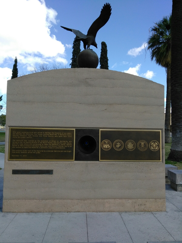
| Location | : | Tucson, Pima County, USA |
| Coordinate | : | 32.2190400, -110.9681700 |
| Description | : | Originally established as the Post of Tucson on May 20, 1862, it was renamed Camp Lowell on August 29, 1866 after being abandoned in 1864 and reestablished in 1865. Initially located on the east side of Sixth Avenue, between Twelfth and Fourteenth Streets, the post was moved for sanitary reasons on March 31, 1873 and subsequently renamed Fort Lowell. The remains from the Camp Lowell Post Cemetery were moved to the Fort Lowell Post Cemetery in June 1884. Of the 76 burials recorded on the Camp Lowell post cemetery register, 28 were listed as “Unknown” at the time... Read More |
frequently asked questions (FAQ):
-
Where is Camp Lowell Post Cemetery?
Camp Lowell Post Cemetery is located at Tucson, Pima County ,Arizona ,USA.
-
Camp Lowell Post Cemetery cemetery's updated grave count on graveviews.com?
0 memorials
-
Where are the coordinates of the Camp Lowell Post Cemetery?
Latitude: 32.2190400
Longitude: -110.9681700
Nearby Cemetories:
1. Cathedral of Saint Augustine Altar Crypt
Tucson, Pima County, USA
Coordinate: 32.2194500, -110.9709800
2. Saint Andrews Episcopal Church Columbarium
Tucson, Pima County, USA
Coordinate: 32.2148410, -110.9666540
3. Alameda-Stone Cemetery
Tucson, Pima County, USA
Coordinate: 32.2248500, -110.9711220
4. Presidio San Agustin del Tucson Cemetery
Tucson, Pima County, USA
Coordinate: 32.2236840, -110.9732440
5. Trinity Presbyterian Church Memorial Garden
Tucson, Pima County, USA
Coordinate: 32.2312540, -110.9652820
6. First United Methodist Church Memorial Garden
Tucson, Pima County, USA
Coordinate: 32.2310090, -110.9572230
7. Court Street Cemetery
Tucson, Pima County, USA
Coordinate: 32.2342030, -110.9748640
8. Our Saviour's Lutheran Church Memorial Garden
Tucson, Pima County, USA
Coordinate: 32.2379180, -110.9430730
9. Grace Saint Pauls Memorial Garden
Tucson, Pima County, USA
Coordinate: 32.2409000, -110.9370000
10. Catalina United Methodist Church Memorial Garden
Tucson, Pima County, USA
Coordinate: 32.2350650, -110.9313480
11. Evergreen Memorial Park
Tucson, Pima County, USA
Coordinate: 32.2623860, -110.9822510
12. Pima County Cemetery
Tucson, Pima County, USA
Coordinate: 32.2658997, -110.9850006
13. Saint Marks Presbyterian Church Cemetery
Tucson, Pima County, USA
Coordinate: 32.2330170, -110.9119560
14. Saint James UMC Memorial Garden
Tucson, Pima County, USA
Coordinate: 32.2665390, -110.9443690
15. Holy Hope Cemetery and Mausoleum
Tucson, Pima County, USA
Coordinate: 32.2696991, -110.9831009
16. Northminster Presbyterian Church Cemetery
Tucson, Pima County, USA
Coordinate: 32.2645000, -110.9359000
17. Ahmadiyya Muslim Cemetery
Tucson, Pima County, USA
Coordinate: 32.1520360, -110.9513440
18. South Lawn Memorial Cemetery
Tucson, Pima County, USA
Coordinate: 32.1521988, -110.9494019
19. Saint Philips in the Hills Church Columbarium
Tucson, Pima County, USA
Coordinate: 32.2877007, -110.9433975
20. Fort Lowell Cemetery
Tucson, Pima County, USA
Coordinate: 32.2616000, -110.8961000
21. Binghampton Cemetery
Tucson, Pima County, USA
Coordinate: 32.2797012, -110.9100037
22. Christ Church United Methodist Memorial Garden
Tucson, Pima County, USA
Coordinate: 32.2304100, -110.8757900
23. Rincon Congregational Church Columbarium
Tucson, Pima County, USA
Coordinate: 32.2241880, -110.8749300
24. Pet Cemetery of Tucson
Tucson, Pima County, USA
Coordinate: 32.2549900, -110.8705500