
| Memorials | : | 0 |
| Location | : | Anton Chico, Guadalupe County, USA |
| Coordinate | : | 35.1978300, -105.1438300 |
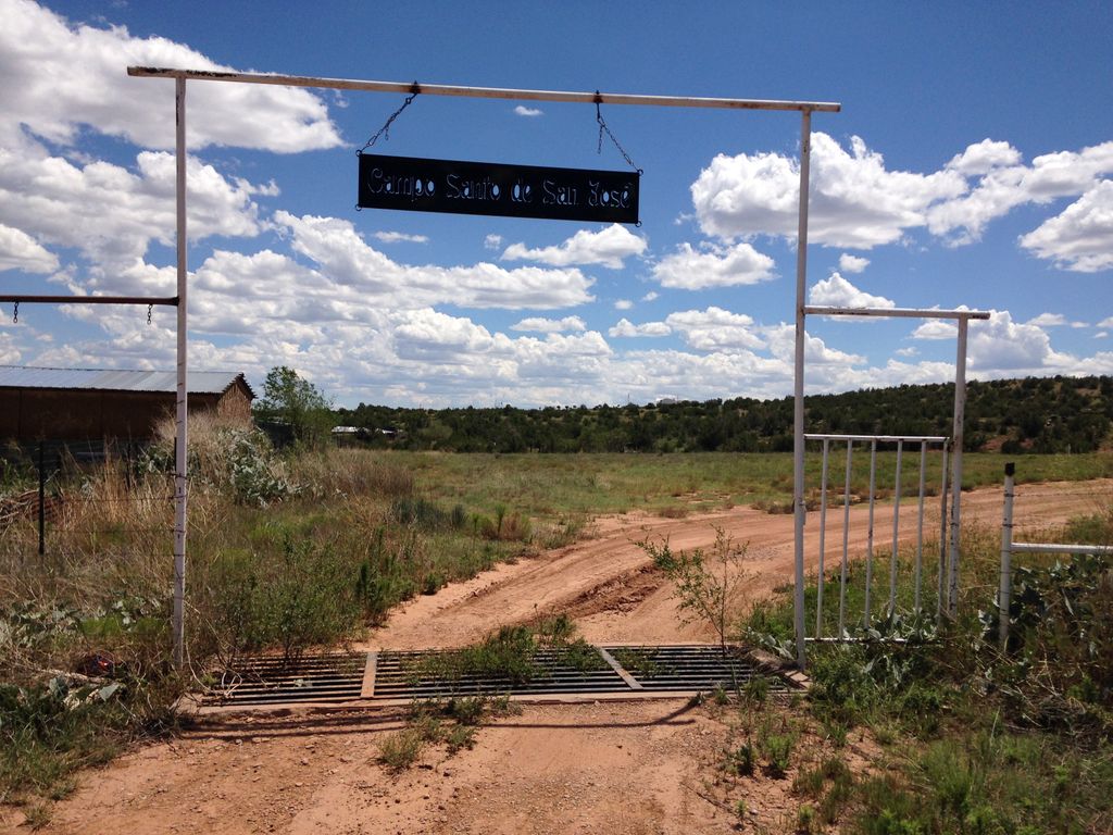
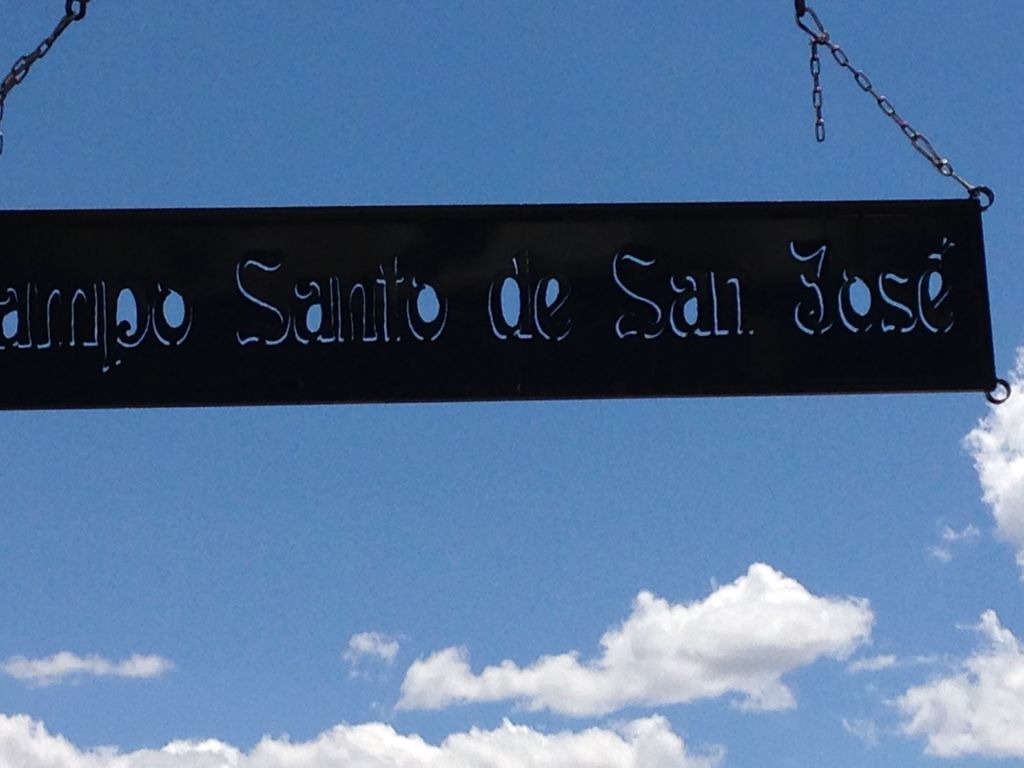
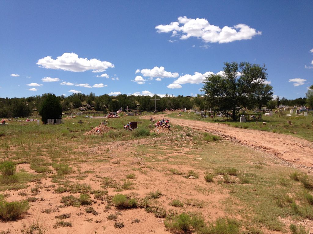
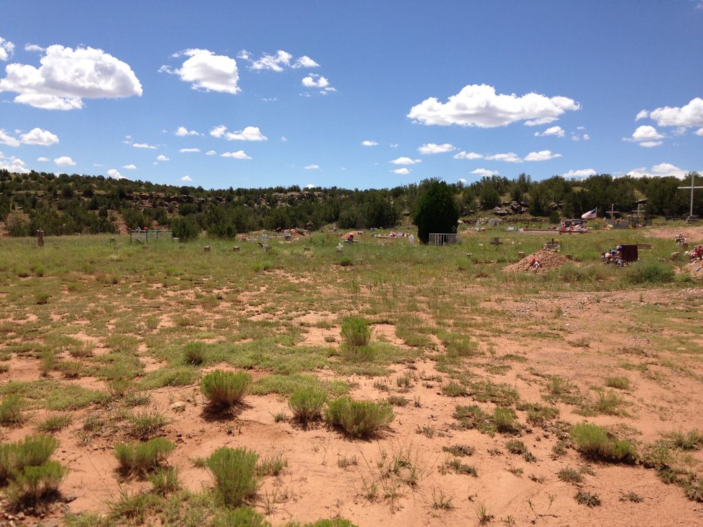
| Description | : | Visited 08/19/2016. Campo Santo de San Jose, aka, "New Anton Chico Cemetery" is on the SW edge of the town of Anton Chico, approximately 1/4 of a mile SW of the San Jose Catholic Church. There are approximately 1,000 graves, with 100-200 of them unidentifiable. This cemetery is sometimes confused with San Jose Cemetery in Santa Rosa, even though "Saint Joseph's Cemetery" is the name on the gates of the cemetery in Santa Rosa. There is also some confusion with the old Campo Santo de San Jose, aka "Old Anton Chico Cemetery" that is only a few hundred feet away, to the... Read More |
frequently asked questions (FAQ):
-
Where is Campo Santo de San Jose?
Campo Santo de San Jose is located at Anton Chico, Guadalupe County ,New Mexico ,USA.
-
Campo Santo de San Jose cemetery's updated grave count on graveviews.com?
0 memorials
-
Where are the coordinates of the Campo Santo de San Jose?
Latitude: 35.1978300
Longitude: -105.1438300
Nearby Cemetories:
1. Old Anton Chico Cemetery
Guadalupe County, USA
Coordinate: 35.1960750, -105.1446830
2. Sangre de Cristo Cemetery
San Miguel County, USA
Coordinate: 35.2173500, -105.1688100
3. Our Lady of Guadalupe Catholic Cemetery
Tecolote, San Miguel County, USA
Coordinate: 35.2324600, -105.1623100
4. Tecolotito Cemetery
Tecolotito, San Miguel County, USA
Coordinate: 35.2326800, -105.1623050
5. Dilia Cemetery
Dilia, Guadalupe County, USA
Coordinate: 35.1935000, -105.0686000
6. Santo Nino de Atocha Church Cemetery
San Miguel County, USA
Coordinate: 35.1258000, -105.3003000
7. El Cerrito Cemetery
El Cerrito, San Miguel County, USA
Coordinate: 35.2793260, -105.3043000
8. Nuestra Señora de Desamparados
El Cerrito, San Miguel County, USA
Coordinate: 35.2755970, -105.3115180
9. Nuestra Senora de Talpa Cemetery
Villanueva, San Miguel County, USA
Coordinate: 35.2658770, -105.3519640
10. Lagunita Cemetery
Lagunita, San Miguel County, USA
Coordinate: 35.3657210, -105.2456630
11. San Juan Cemetery
San Miguel County, USA
Coordinate: 35.1455994, -105.3649979
12. Aguilar Cemetery
Lagunita, San Miguel County, USA
Coordinate: 35.3824620, -105.0989410
13. Villanueva Cemetery
Villanueva, San Miguel County, USA
Coordinate: 35.2682460, -105.3594740
14. Our Lady of Guadalupe Cemetery
Villanueva, San Miguel County, USA
Coordinate: 35.2657720, -105.3615920
15. Los Montoyas Cemetery
Los Montoyas, San Miguel County, USA
Coordinate: 35.4178080, -105.2075090
16. Nuestro Señor de Esquipula Cemetery
Sena, San Miguel County, USA
Coordinate: 35.3007460, -105.3903520
17. Aguila Cemetery
San Miguel County, USA
Coordinate: 35.3511009, -104.9308014
18. Chaperito Cemetery
Chaperito, San Miguel County, USA
Coordinate: 35.3665100, -104.9432900
19. La Liendre Cemetery
La Liendre, San Miguel County, USA
Coordinate: 35.4240303, -105.0556488
20. Santa Rita Cemetery
Bernal, San Miguel County, USA
Coordinate: 35.3927770, -105.3181380
21. Los Torres Cemetery
San Miguel County, USA
Coordinate: 35.3955994, -104.9710999
22. La Concepcion Cemetery
San Miguel County, USA
Coordinate: 35.4432830, -105.1218620
23. La Fragua Cemetery
La Fragua, San Miguel County, USA
Coordinate: 35.3186500, -105.4083200
24. San Jose Cemetery
Colonias, Guadalupe County, USA
Coordinate: 35.1104210, -104.8466590