
| Memorials | : | 0 |
| Location | : | San Miguel County, USA |
| Coordinate | : | 35.2173500, -105.1688100 |
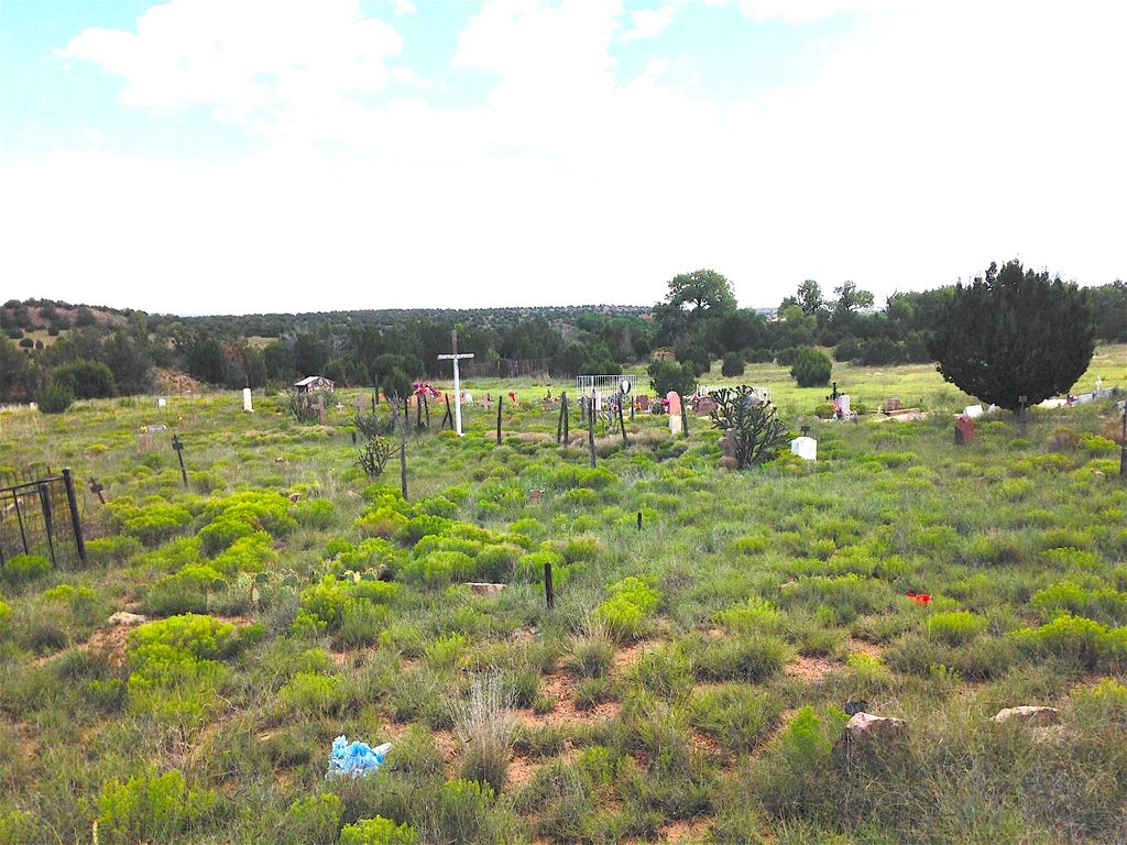
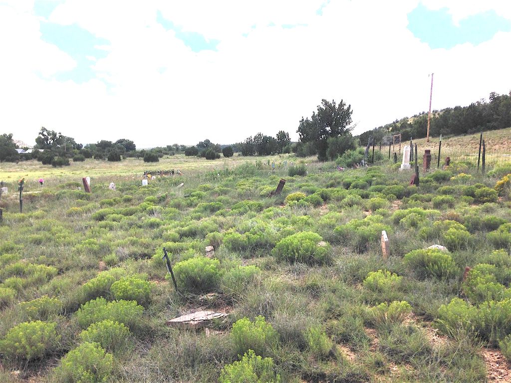
| Description | : | Official cemetery name undetermined. There are approximately 300 memorials in 5 acres. The cemetery is on the East side of Hiway 384, just North of the the county line with Guadalupe County, between Upper Anton Chico to the South and Tecolotito to the North. Possibly 50 memorials have lost all identification information. ________________________________________ 10/13/2017 - We spoke with a nearby resident and discovered the name of the cemetery is actually Sangre de Cristo. The church is about one mile to the south at 35.205931, -105.166942. |
frequently asked questions (FAQ):
-
Where is Sangre de Cristo Cemetery?
Sangre de Cristo Cemetery is located at San Miguel County ,New Mexico ,USA.
-
Sangre de Cristo Cemetery cemetery's updated grave count on graveviews.com?
0 memorials
-
Where are the coordinates of the Sangre de Cristo Cemetery?
Latitude: 35.2173500
Longitude: -105.1688100

Nearby Cemetories:
1. Our Lady of Guadalupe Catholic Cemetery
Tecolote, San Miguel County, USA
Coordinate: 35.2324600, -105.1623100
2. Tecolotito Cemetery
Tecolotito, San Miguel County, USA
Coordinate: 35.2326800, -105.1623050
3. Campo Santo de San Jose
Anton Chico, Guadalupe County, USA
Coordinate: 35.1978300, -105.1438300
4. Old Anton Chico Cemetery
Guadalupe County, USA
Coordinate: 35.1960750, -105.1446830
5. Dilia Cemetery
Dilia, Guadalupe County, USA
Coordinate: 35.1935000, -105.0686000
6. El Cerrito Cemetery
El Cerrito, San Miguel County, USA
Coordinate: 35.2793260, -105.3043000
7. Nuestra Señora de Desamparados
El Cerrito, San Miguel County, USA
Coordinate: 35.2755970, -105.3115180
8. Santo Nino de Atocha Church Cemetery
San Miguel County, USA
Coordinate: 35.1258000, -105.3003000
9. Nuestra Senora de Talpa Cemetery
Villanueva, San Miguel County, USA
Coordinate: 35.2658770, -105.3519640
10. Lagunita Cemetery
Lagunita, San Miguel County, USA
Coordinate: 35.3657210, -105.2456630
11. Villanueva Cemetery
Villanueva, San Miguel County, USA
Coordinate: 35.2682460, -105.3594740
12. Our Lady of Guadalupe Cemetery
Villanueva, San Miguel County, USA
Coordinate: 35.2657720, -105.3615920
13. Aguilar Cemetery
Lagunita, San Miguel County, USA
Coordinate: 35.3824620, -105.0989410
14. San Juan Cemetery
San Miguel County, USA
Coordinate: 35.1455994, -105.3649979
15. Nuestro Señor de Esquipula Cemetery
Sena, San Miguel County, USA
Coordinate: 35.3007460, -105.3903520
16. Los Montoyas Cemetery
Los Montoyas, San Miguel County, USA
Coordinate: 35.4178080, -105.2075090
17. Santa Rita Cemetery
Bernal, San Miguel County, USA
Coordinate: 35.3927770, -105.3181380
18. La Fragua Cemetery
La Fragua, San Miguel County, USA
Coordinate: 35.3186500, -105.4083200
19. La Liendre Cemetery
La Liendre, San Miguel County, USA
Coordinate: 35.4240303, -105.0556488
20. La Concepcion Cemetery
San Miguel County, USA
Coordinate: 35.4432830, -105.1218620
21. Aguila Cemetery
San Miguel County, USA
Coordinate: 35.3511009, -104.9308014
22. Chaperito Cemetery
Chaperito, San Miguel County, USA
Coordinate: 35.3665100, -104.9432900
23. San Isidro de Labador Church Cemetery
Gonzales Ranch, San Miguel County, USA
Coordinate: 35.2403620, -105.4591370
24. San Augustin Cemetery
San Augustin, San Miguel County, USA
Coordinate: 35.4567800, -105.1432800