
| Memorials | : | 0 |
| Location | : | Appling, Columbia County, USA |
| Coordinate | : | 33.6527350, -82.2434650 |
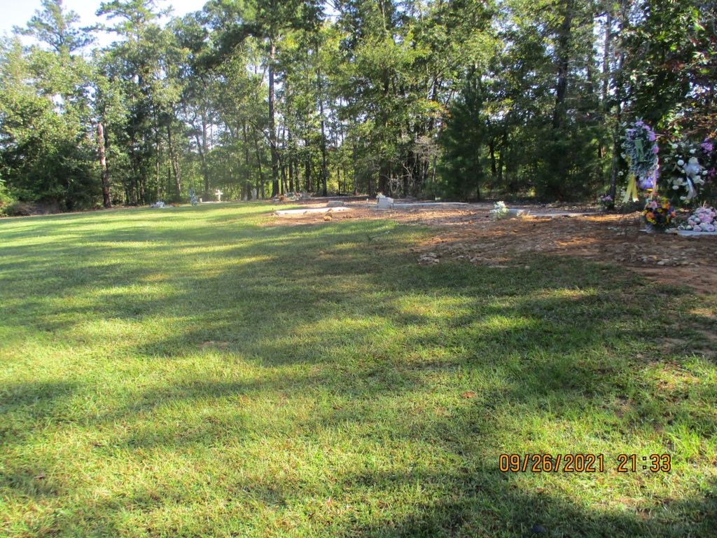
| Description | : | Between Pollard's Corner and the dam. |
frequently asked questions (FAQ):
-
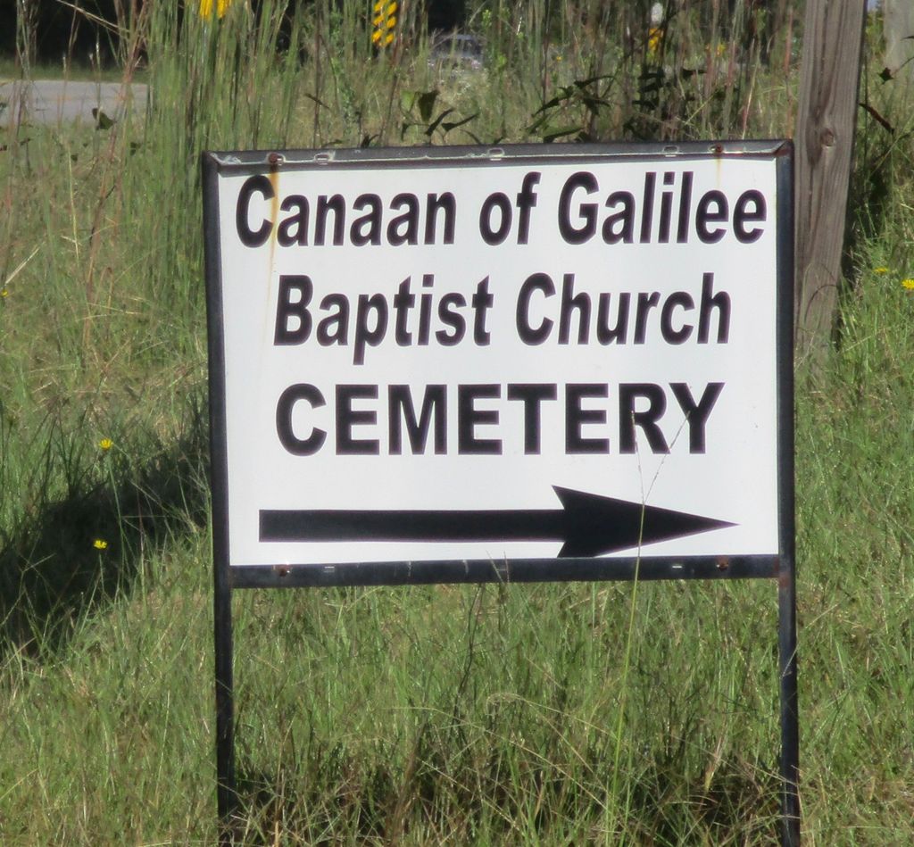
Where is Canaan of Galilee Baptist Church Cemetery?
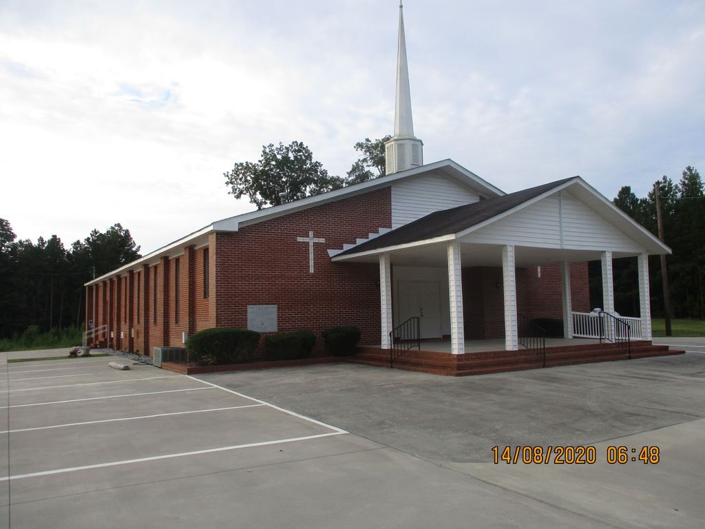
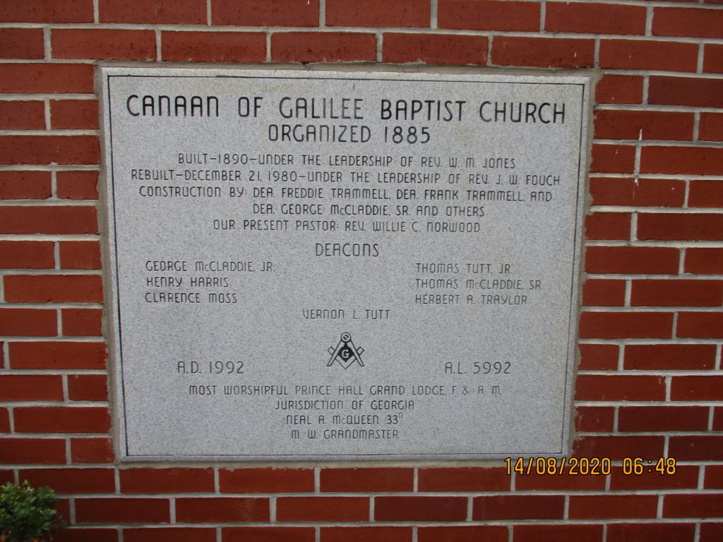
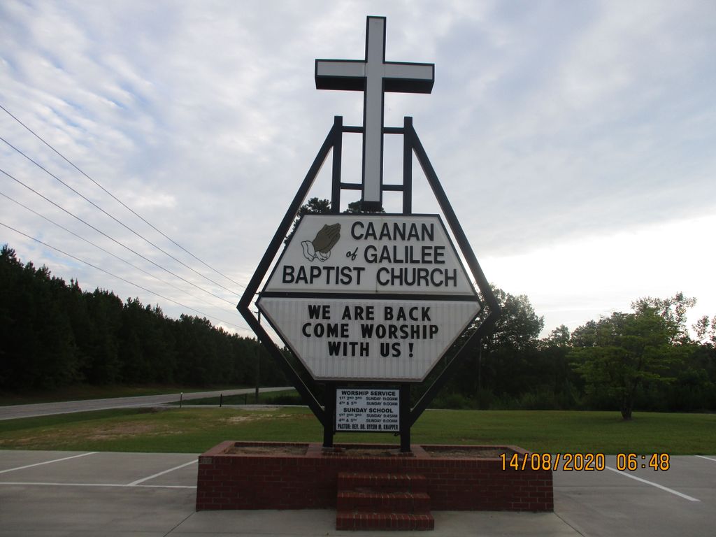
Canaan of Galilee Baptist Church Cemetery is located at Hwy. 221, Clarks Hill Rd. Appling, Columbia County ,Georgia , 30802USA.
-
Canaan of Galilee Baptist Church Cemetery cemetery's updated grave count on graveviews.com?
0 memorials
-
Where are the coordinates of the Canaan of Galilee Baptist Church Cemetery?
Latitude: 33.6527350
Longitude: -82.2434650
Nearby Cemetories:
1. Spring Grove Cemetery
Columbia County, USA
Coordinate: 33.6516991, -82.2228012
2. Bethel Cemetery
Columbia County, USA
Coordinate: 33.6405983, -82.2593994
3. Second Mount Carmel Baptist Church Cemetery
Columbia County, USA
Coordinate: 33.6230730, -82.2394980
4. Bailey Family Cemetery
Pollards Corner, Columbia County, USA
Coordinate: 33.6259290, -82.2661600
5. Reid Family Cemetery
Columbia County, USA
Coordinate: 33.6180100, -82.2570000
6. Avary Family Cemetery
Columbia County, USA
Coordinate: 33.6236600, -82.2144400
7. Luke-Lamkin Cemetery
Columbia County, USA
Coordinate: 33.6208485, -82.2775860
8. Old Avery Cemetery
Columbia County, USA
Coordinate: 33.6192017, -82.2035980
9. Germany Cemetery
Appling, Columbia County, USA
Coordinate: 33.6011586, -82.2629671
10. Jones Cemetery
McCormick County, USA
Coordinate: 33.6986008, -82.1992035
11. Blount-Pullin Cemetery
Columbia County, USA
Coordinate: 33.5968611, -82.2680000
12. Rehoboth Baptist Church Cemetery
Appling, Columbia County, USA
Coordinate: 33.6662423, -82.3131795
13. Laura Grove Missionary Baptist Church Cemetery
Clarks Hill, McCormick County, USA
Coordinate: 33.6799890, -82.1785640
14. Bethlehem Cemetery
McCormick County, USA
Coordinate: 33.6688995, -82.1731033
15. Friendship Baptist Church Cemetery
Appling, Columbia County, USA
Coordinate: 33.5947820, -82.2183810
16. Middleton Cemetery
McCormick County, USA
Coordinate: 33.6596985, -82.1694031
17. Damascus Baptist Church Cemetery
Appling, Columbia County, USA
Coordinate: 33.6661220, -82.3169520
18. Hosannah Baptist Church Cemetery
Modoc, McCormick County, USA
Coordinate: 33.7100020, -82.2003280
19. Ashbury Cemetery
McCormick County, USA
Coordinate: 33.6502991, -82.1585999
20. Asbury Cemetery
Clarks Hill, McCormick County, USA
Coordinate: 33.6506140, -82.1581020
21. Thomas Hardin Family Cemetery
Leah, Columbia County, USA
Coordinate: 33.6774370, -82.3317050
22. Solid Rock Baptist Church Cemetery
Appling, Columbia County, USA
Coordinate: 33.5876338, -82.2951234
23. Dunn's Chapel Cemetery
Dunn Chapel, Columbia County, USA
Coordinate: 33.6576700, -82.3375300
24. Knox Cemetery
Columbia County, USA
Coordinate: 33.5732994, -82.2463989