
| Memorials | : | 0 |
| Location | : | Tangier, Accomack County, USA |
| Coordinate | : | 37.8369370, -75.9969380 |
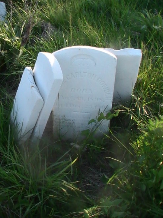
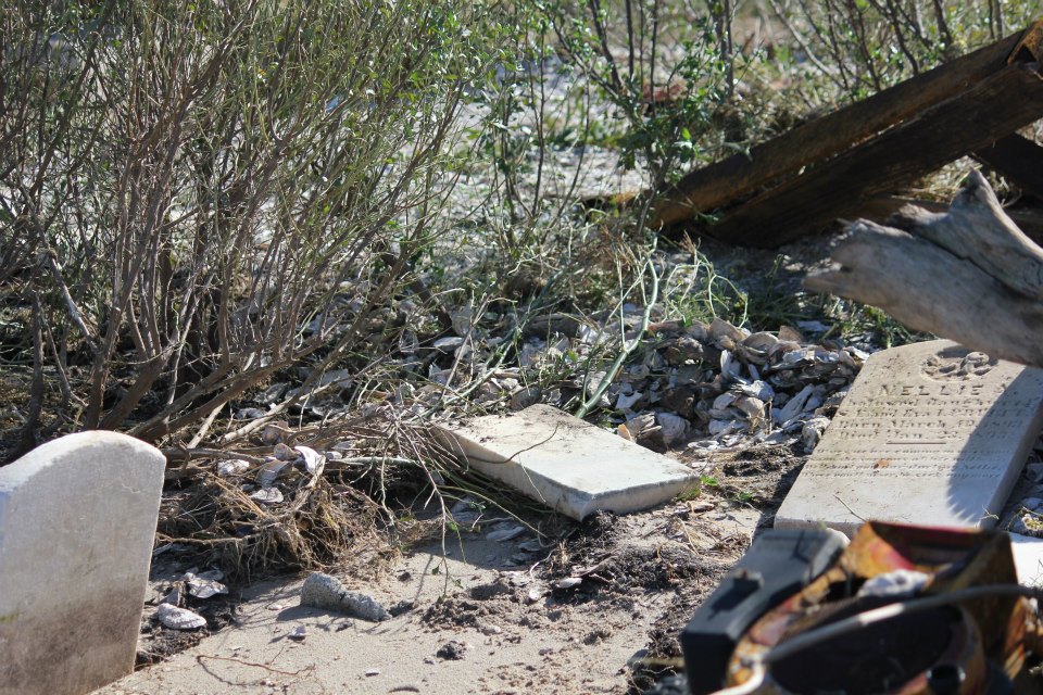
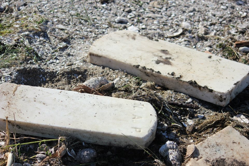
| Description | : | Erosion is taking more and more of Canaan Ridge each year, soon to be swallowed by the Chesapeake Bay. |
frequently asked questions (FAQ):
-
Where is Canaan Ridge Cemetery -Tangier Island?
Canaan Ridge Cemetery -Tangier Island is located at Tangier, Accomack County ,Virginia ,USA.
-
Canaan Ridge Cemetery -Tangier Island cemetery's updated grave count on graveviews.com?
0 memorials
-
Where are the coordinates of the Canaan Ridge Cemetery -Tangier Island?
Latitude: 37.8369370
Longitude: -75.9969380
Nearby Cemetories:
1. Parsonage Cemetery
Tangier, Accomack County, USA
Coordinate: 37.8290400, -75.9932090
2. Long Bridge Road Cemetery
Tangier, Accomack County, USA
Coordinate: 37.8287090, -75.9930060
3. Upper Main Ridge Cemetery
Tangier, Accomack County, USA
Coordinate: 37.8279510, -75.9926410
4. Swain Memorial United Methodist Church Cemetery
Tangier, Accomack County, USA
Coordinate: 37.8271800, -75.9920600
5. Wallace Road Cemetery
Tangier, Accomack County, USA
Coordinate: 37.8252600, -75.9940200
6. Lewis Crockett Family Cemetery
Tangier, Accomack County, USA
Coordinate: 37.8250500, -75.9918700
7. Main Ridge Road Cemetery
Tangier, Accomack County, USA
Coordinate: 37.8244130, -75.9915680
8. New Testament Church Cemetery
Tangier, Accomack County, USA
Coordinate: 37.8241460, -75.9915360
9. Canton Ridge Cemetery
Tangier, Accomack County, USA
Coordinate: 37.8228320, -75.9876840
10. Oak Ridge Cemetery
Tangier, Accomack County, USA
Coordinate: 37.8231160, -75.9870030
11. Hog Ridge Cemetery
Tangier, Accomack County, USA
Coordinate: 37.8181450, -75.9967980
12. Fox Burial Plot
Nelsonia, Accomack County, USA
Coordinate: 37.8090730, -75.9569580
13. Union United Methodist Church Cemetery
Tylerton, Somerset County, USA
Coordinate: 37.9678800, -76.0229900
14. Calvary United Methodist Church Cemetery
Smith Island, Somerset County, USA
Coordinate: 37.9754028, -76.0410461
15. Ewell United Methodist Church Cemetery
Ewell, Somerset County, USA
Coordinate: 37.9956200, -76.0332900
16. Byrd Family Burial Ground
Crisfield, Somerset County, USA
Coordinate: 37.9596290, -75.8405380
17. James Lawson Cemetery
Byrdtown, Somerset County, USA
Coordinate: 37.9615640, -75.8425480
18. George Tyler Cemetery
Crisfield, Somerset County, USA
Coordinate: 37.9597717, -75.8394833
19. Nelson Plot Jenkins Creek
Crisfield, Somerset County, USA
Coordinate: 37.9667230, -75.8485960
20. Byrd Family Cemetery
Crisfield, Somerset County, USA
Coordinate: 37.9588710, -75.8371070
21. Byrdtown Cemetery
Crisfield, Somerset County, USA
Coordinate: 37.9589800, -75.8372020
22. Lawson Cemetery
Byrdtown, Somerset County, USA
Coordinate: 37.9577020, -75.8345526
23. Somers Cove Cemetery
Crisfield, Somerset County, USA
Coordinate: 37.9774900, -75.8535600
24. Sterling Plot
Lawsonia, Somerset County, USA
Coordinate: 37.9672470, -75.8315350