| Memorials | : | 2 |
| Location | : | Tangier, Accomack County, USA |
| Phone | : | 757-891-2241 |
| Website | : | archives.umc.org/Directory/ChurchDetails.asp?FAC=45216 |
| Coordinate | : | 37.8271800, -75.9920600 |
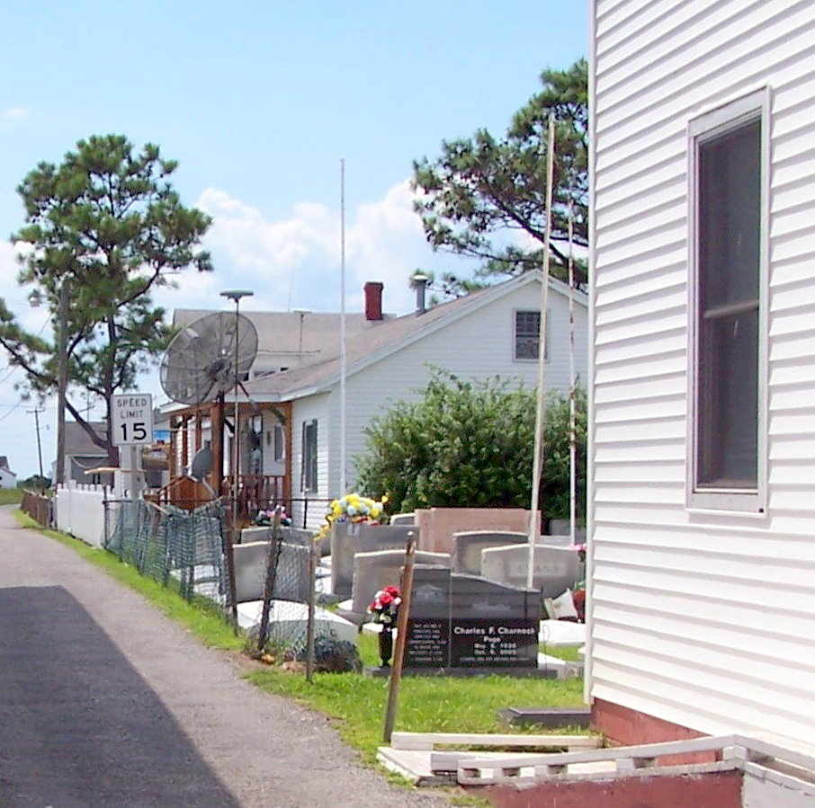
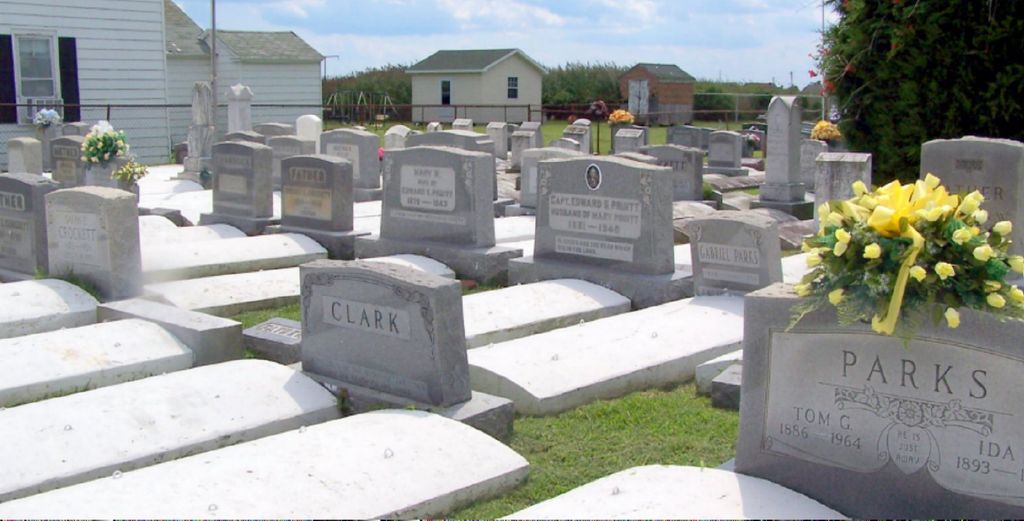
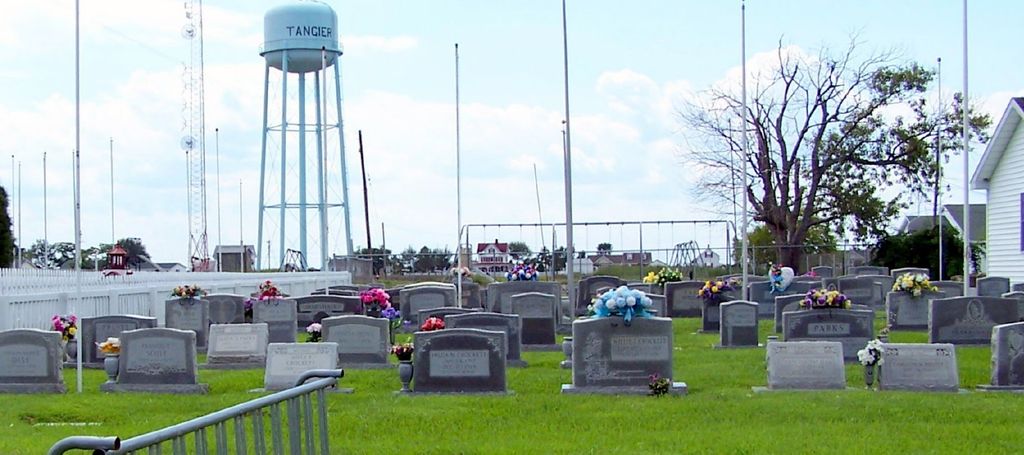
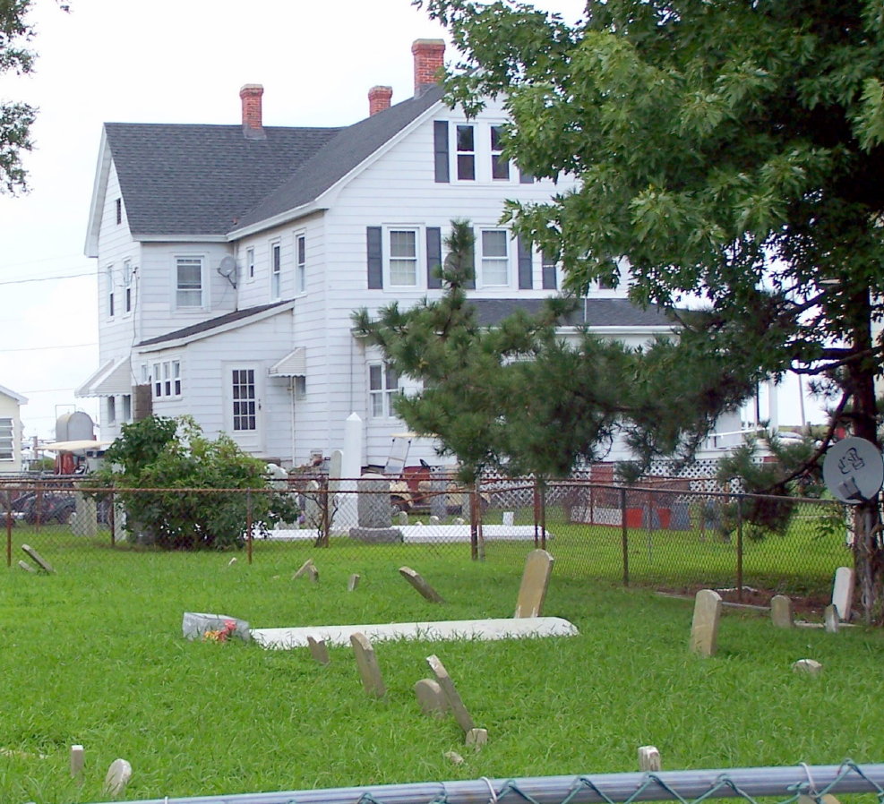
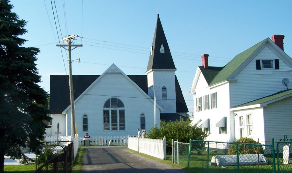
| Description | : | The most prominent of the island's buildings, Swain Memorial United Methodist Church is easily recognized as the focal point of Tangier. Built in 1899 on the site of the island's second church (1842), it is the center of the Tangier's religious activity. The Hiram Benson Education Building, erected in 1963 is named for a "pillar" of the Methodist Sunday school and occupies the site of the third church, Mariner's Bethel (1870). Traditional Methodist class meetings are still held weekly and may be the last such gatherings of any Methodist community in America. |
frequently asked questions (FAQ):
-
Where is Swain Memorial United Methodist Church Cemetery?
Swain Memorial United Methodist Church Cemetery is located at 16094 Main Ridge Rd Tangier, Accomack County ,Virginia , 23440USA.
-
Swain Memorial United Methodist Church Cemetery cemetery's updated grave count on graveviews.com?
1 memorials
-
Where are the coordinates of the Swain Memorial United Methodist Church Cemetery?
Latitude: 37.8271800
Longitude: -75.9920600
Nearby Cemetories:
1. Upper Main Ridge Cemetery
Tangier, Accomack County, USA
Coordinate: 37.8279510, -75.9926410
2. Long Bridge Road Cemetery
Tangier, Accomack County, USA
Coordinate: 37.8287090, -75.9930060
3. Parsonage Cemetery
Tangier, Accomack County, USA
Coordinate: 37.8290400, -75.9932090
4. Lewis Crockett Family Cemetery
Tangier, Accomack County, USA
Coordinate: 37.8250500, -75.9918700
5. Wallace Road Cemetery
Tangier, Accomack County, USA
Coordinate: 37.8252600, -75.9940200
6. Main Ridge Road Cemetery
Tangier, Accomack County, USA
Coordinate: 37.8244130, -75.9915680
7. New Testament Church Cemetery
Tangier, Accomack County, USA
Coordinate: 37.8241460, -75.9915360
8. Canton Ridge Cemetery
Tangier, Accomack County, USA
Coordinate: 37.8228320, -75.9876840
9. Oak Ridge Cemetery
Tangier, Accomack County, USA
Coordinate: 37.8231160, -75.9870030
10. Hog Ridge Cemetery
Tangier, Accomack County, USA
Coordinate: 37.8181450, -75.9967980
11. Canaan Ridge Cemetery -Tangier Island
Tangier, Accomack County, USA
Coordinate: 37.8369370, -75.9969380
12. Fox Burial Plot
Nelsonia, Accomack County, USA
Coordinate: 37.8090730, -75.9569580
13. Union United Methodist Church Cemetery
Tylerton, Somerset County, USA
Coordinate: 37.9678800, -76.0229900
14. Calvary United Methodist Church Cemetery
Smith Island, Somerset County, USA
Coordinate: 37.9754028, -76.0410461
15. Ewell United Methodist Church Cemetery
Ewell, Somerset County, USA
Coordinate: 37.9956200, -76.0332900
16. Byrd Family Burial Ground
Crisfield, Somerset County, USA
Coordinate: 37.9596290, -75.8405380
17. James Lawson Cemetery
Byrdtown, Somerset County, USA
Coordinate: 37.9615640, -75.8425480
18. George Tyler Cemetery
Crisfield, Somerset County, USA
Coordinate: 37.9597717, -75.8394833
19. Nelson Plot Jenkins Creek
Crisfield, Somerset County, USA
Coordinate: 37.9667230, -75.8485960
20. Byrd Family Cemetery
Crisfield, Somerset County, USA
Coordinate: 37.9588710, -75.8371070
21. Byrdtown Cemetery
Crisfield, Somerset County, USA
Coordinate: 37.9589800, -75.8372020
22. Lawson Cemetery
Byrdtown, Somerset County, USA
Coordinate: 37.9577020, -75.8345526
23. Leatherbury-Waters Cemetery
Cashville, Accomack County, USA
Coordinate: 37.7020000, -75.8220000
24. Somers Cove Cemetery
Crisfield, Somerset County, USA
Coordinate: 37.9774900, -75.8535600

