
| Memorials | : | 26 |
| Location | : | Sevier County, USA |
| Coordinate | : | 34.0828018, -94.4511032 |
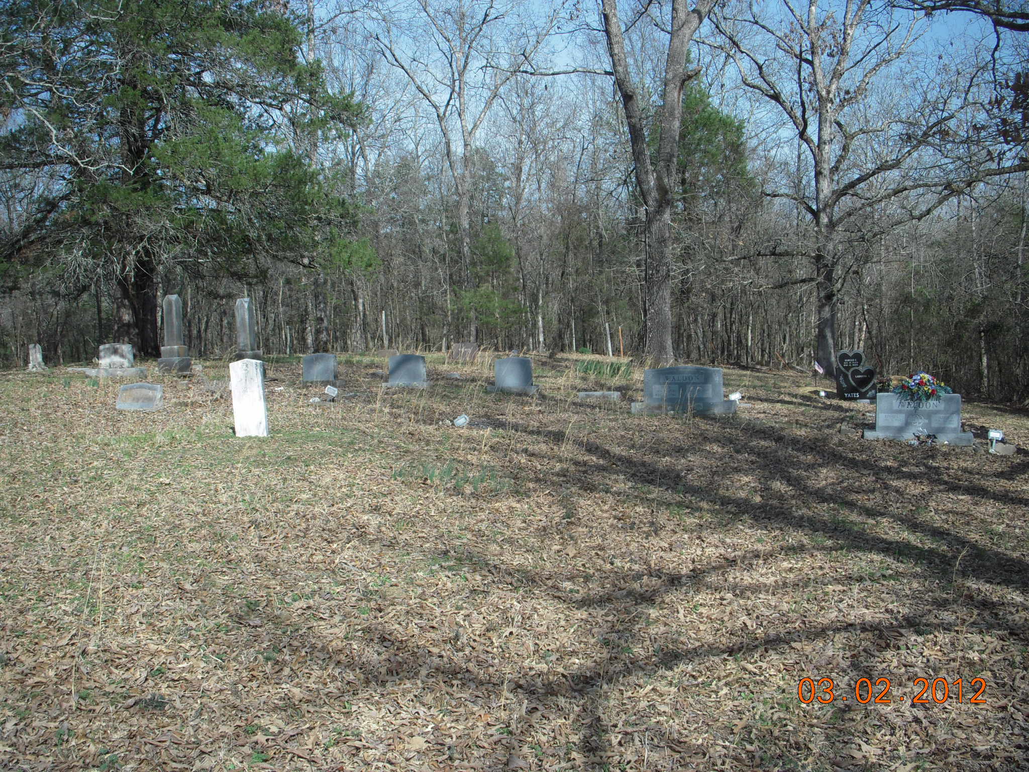
| Description | : | The Cain Creek Cemetery is located on land my wife's Great-grandfather (John Waldon) patented after the civil war. He and his mother, stepfather, father and mother in-laws along with the in-laws children patented almost four sections of land around the cemetery. They erected a school which also served as a church on what is now the cemetery property. An old USGS map showed the School/Church at this site. The church was called, "Cane (sic) Creek Baptist Church of Christ" and my wife's great-grandfather was a deacon. |
frequently asked questions (FAQ):
-
Where is Cane Creek Cemetery?
Cane Creek Cemetery is located at Sevier County ,Arkansas ,USA.
-
Cane Creek Cemetery cemetery's updated grave count on graveviews.com?
26 memorials
-
Where are the coordinates of the Cane Creek Cemetery?
Latitude: 34.0828018
Longitude: -94.4511032
Nearby Cemetories:
1. Ultima Thule Cemetery
Sevier County, USA
Coordinate: 34.0564003, -94.4580994
2. Harris Mill Cemetery
Ultima Thule, McCurtain County, USA
Coordinate: 34.0516640, -94.4875720
3. All Saints of America Orthodox Church Cemetery
De Queen, Sevier County, USA
Coordinate: 34.0698610, -94.4009600
4. Oak Grove Cemetery
Sevier County, USA
Coordinate: 34.0819016, -94.3972015
5. Mill Creek Cemetery
Kellum, Sevier County, USA
Coordinate: 34.1302986, -94.4310989
6. Oak Grove Cemetery
Lockesburg, Sevier County, USA
Coordinate: 34.1442000, -94.4456000
7. James Cemetery
Eagletown, McCurtain County, USA
Coordinate: 34.0622700, -94.5288050
8. West Line Cemetery
Sevier County, USA
Coordinate: 34.0116997, -94.4666977
9. Reves Cemetery
McCurtain County, USA
Coordinate: 34.1511400, -94.4919000
10. Chapel Hill Cemetery
De Queen, Sevier County, USA
Coordinate: 34.0335999, -94.3796997
11. Redmen Cemetery
De Queen, Sevier County, USA
Coordinate: 34.0372009, -94.3578033
12. Jefferson Gardner Mansion Cemetery
Eagletown, McCurtain County, USA
Coordinate: 34.0587692, -94.5640422
13. Mountain Fork Cemetery
McCurtain County, USA
Coordinate: 34.0189910, -94.5458300
14. Valley Cemetery
Gillham, Sevier County, USA
Coordinate: 34.1408000, -94.3492000
15. Avon Cemetery
De Queen, Sevier County, USA
Coordinate: 34.0861015, -94.3230972
16. Tonihka Cemetery
Eagletown, McCurtain County, USA
Coordinate: 34.0200000, -94.5561000
17. Eagletown Cemetery
Eagletown, McCurtain County, USA
Coordinate: 34.0494003, -94.5783005
18. Sand Hill Cemetery
Sevier County, USA
Coordinate: 34.0080207, -94.3474073
19. Pullman Cemetery
Sevier County, USA
Coordinate: 34.1165000, -94.3170090
20. Panki Bok Cemetery
McCurtain County, USA
Coordinate: 33.9765130, -94.5226640
21. Sweet Home Cemetery
De Queen, Sevier County, USA
Coordinate: 34.0396996, -94.3110962
22. West Otis Cemetery
Sevier County, USA
Coordinate: 33.9524994, -94.4516983
23. Boggy Springs Cemetery
Horatio, Sevier County, USA
Coordinate: 33.9660988, -94.3672028
24. Cross Trail Cemetery
De Queen, Sevier County, USA
Coordinate: 34.0875015, -94.2866974