
| Memorials | : | 0 |
| Location | : | Eagletown, McCurtain County, USA |
| Coordinate | : | 34.0622700, -94.5288050 |
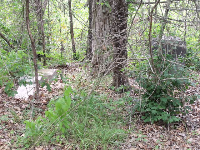
| Description | : | Heading west from the Oklahoma line from Arkansas. Go 2.9 miles, turn right on dirt county rd. go 0.6 miles you will see a red primer colored gate on the left this cemetery is on private land and you will need permission and a guide to get there and A four wheel drive vehicle. There only two markers there, possibly two more graves there as well but no one knows for sure. |
frequently asked questions (FAQ):
-
Where is James Cemetery?
James Cemetery is located at Eagletown, McCurtain County ,Oklahoma ,USA.
-
James Cemetery cemetery's updated grave count on graveviews.com?
0 memorials
-
Where are the coordinates of the James Cemetery?
Latitude: 34.0622700
Longitude: -94.5288050
Nearby Cemetories:
1. Jefferson Gardner Mansion Cemetery
Eagletown, McCurtain County, USA
Coordinate: 34.0587692, -94.5640422
2. Harris Mill Cemetery
Ultima Thule, McCurtain County, USA
Coordinate: 34.0516640, -94.4875720
3. Eagletown Cemetery
Eagletown, McCurtain County, USA
Coordinate: 34.0494003, -94.5783005
4. Mountain Fork Cemetery
McCurtain County, USA
Coordinate: 34.0189910, -94.5458300
5. Tonihka Cemetery
Eagletown, McCurtain County, USA
Coordinate: 34.0200000, -94.5561000
6. Ultima Thule Cemetery
Sevier County, USA
Coordinate: 34.0564003, -94.4580994
7. Cane Creek Cemetery
Sevier County, USA
Coordinate: 34.0828018, -94.4511032
8. West Line Cemetery
Sevier County, USA
Coordinate: 34.0116997, -94.4666977
9. Panki Bok Cemetery
McCurtain County, USA
Coordinate: 33.9765130, -94.5226640
10. Reves Cemetery
McCurtain County, USA
Coordinate: 34.1511400, -94.4919000
11. Mill Creek Cemetery
Kellum, Sevier County, USA
Coordinate: 34.1302986, -94.4310989
12. All Saints of America Orthodox Church Cemetery
De Queen, Sevier County, USA
Coordinate: 34.0698610, -94.4009600
13. Oak Grove Cemetery
Lockesburg, Sevier County, USA
Coordinate: 34.1442000, -94.4456000
14. Oak Grove Cemetery
Sevier County, USA
Coordinate: 34.0819016, -94.3972015
15. Saint Matthew Presbyterian Cemetery
McCurtain County, USA
Coordinate: 34.0217781, -94.6574326
16. Kulli Chito Cemetery
Broken Bow, McCurtain County, USA
Coordinate: 33.9970760, -94.6421410
17. Oak Grove Cemetery
McCurtain County, USA
Coordinate: 34.0247810, -94.6609960
18. Chapel Hill Cemetery
De Queen, Sevier County, USA
Coordinate: 34.0335999, -94.3796997
19. West Otis Cemetery
Sevier County, USA
Coordinate: 33.9524994, -94.4516983
20. Oka Achukma Cemetery
Broken Bow, McCurtain County, USA
Coordinate: 34.0329750, -94.6881410
21. Pine Top Cemetery
Broken Bow, McCurtain County, USA
Coordinate: 34.0042600, -94.6828600
22. Philadelphia Cemetery
McCurtain County, USA
Coordinate: 33.9237000, -94.5666000
23. Redmen Cemetery
De Queen, Sevier County, USA
Coordinate: 34.0372009, -94.3578033
24. Cerrogordo Cemetery
Cerrogordo, Little River County, USA
Coordinate: 33.9213982, -94.4738998