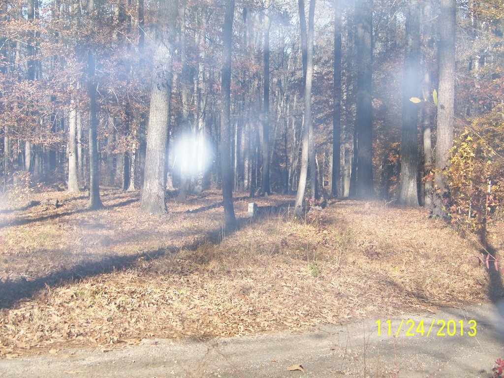
| Memorials | : | 0 |
| Location | : | Littletons, Walker County, USA |
| Coordinate | : | 33.6336390, -87.2796710 |
| Description | : | Go 8.4 miles north on Alabama Highway 269 (Birmingport Road in Jefferson County) from the Walker-Jefferson County line. Turn left onto Goodsprings Road then turn right onto Tutwiler Road and go 4 and 7/10 of a mile. Turn right onto Cedar Lake Road and go 1.4 miles and turn right onto Gross Road. Go about 1/10 of a mile the cemetery is on the left (west) side of Gross Road. University of Alabama Cemetery and Graves Identification Cemetery #140 |
frequently asked questions (FAQ):
-
Where is Caradine Cemetery?
Caradine Cemetery is located at Littletons, Walker County ,Alabama ,USA.
-
Caradine Cemetery cemetery's updated grave count on graveviews.com?
0 memorials
-
Where are the coordinates of the Caradine Cemetery?
Latitude: 33.6336390
Longitude: -87.2796710
Nearby Cemetories:
1. Rowe Cemetery
Cedar Lake, Walker County, USA
Coordinate: 33.6281013, -87.2789001
2. Starview Baptist Cemetery
Littletons, Walker County, USA
Coordinate: 33.6254030, -87.2743570
3. Miller Cemetery
Littletons, Walker County, USA
Coordinate: 33.6161003, -87.2694016
4. High Hill Church Cemetery
Littletons, Walker County, USA
Coordinate: 33.6191580, -87.2604320
5. Busby Cemetery
Littletons, Walker County, USA
Coordinate: 33.6286011, -87.2497025
6. Pleasantfield Cemetery
Pleasant Field, Walker County, USA
Coordinate: 33.6671982, -87.3011017
7. Cedar Creek Church of Christ Cemetery
Tutwiler, Walker County, USA
Coordinate: 33.5939990, -87.2791670
8. Franklin Cemetery
Goodsprings, Walker County, USA
Coordinate: 33.6422005, -87.2244034
9. Goodsprings Church of Christ Cemetery
Goodsprings, Walker County, USA
Coordinate: 33.6628780, -87.2289130
10. Goodsprings Cemetery
Goodsprings, Walker County, USA
Coordinate: 33.6707993, -87.2360992
11. Central Church Cemetery
Pleasant Field, Walker County, USA
Coordinate: 33.6320550, -87.3447250
12. Quinn Cemetery
Goodsprings, Walker County, USA
Coordinate: 33.6701459, -87.2294350
13. Gilchrist Cemetery
Pleasant Field, Walker County, USA
Coordinate: 33.6343994, -87.3550034
14. Short Cemetery
Gorgas, Walker County, USA
Coordinate: 33.6466490, -87.2006700
15. Fairview Freewill Baptist Church Cemetery
Fairview, Walker County, USA
Coordinate: 33.6016998, -87.3507996
16. Hatt Church of Christ Cemetery
Bradleytown, Walker County, USA
Coordinate: 33.6999620, -87.2581490
17. Liberty Hill Cemetery
Pleasant Field, Walker County, USA
Coordinate: 33.6375008, -87.3636017
18. Gray Cemetery
Parrish, Walker County, USA
Coordinate: 33.7085991, -87.2885971
19. Leonard Cemetery
Aldridge, Walker County, USA
Coordinate: 33.6986008, -87.2316971
20. Snow-Thompson Cemetery
Gorgas, Walker County, USA
Coordinate: 33.5724950, -87.2183230
21. Earnest Chapel Cemetery
Enoe, Walker County, USA
Coordinate: 33.6831654, -87.3555591
22. Brake Cemetery
Pumpkin Center, Walker County, USA
Coordinate: 33.6154670, -87.1830830
23. Waiting Place Cemetery
Pumpkin Center, Walker County, USA
Coordinate: 33.6331570, -87.1765400
24. Woods Cemetery
Enoe, Walker County, USA
Coordinate: 33.6652985, -87.3839035

