
| Memorials | : | 0 |
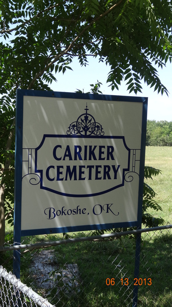
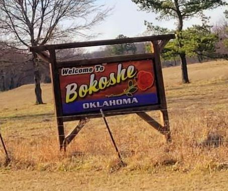
| Location | : | Bokoshe, Le Flore County, USA |
| Coordinate | : | 35.1980560, -94.7825000 |
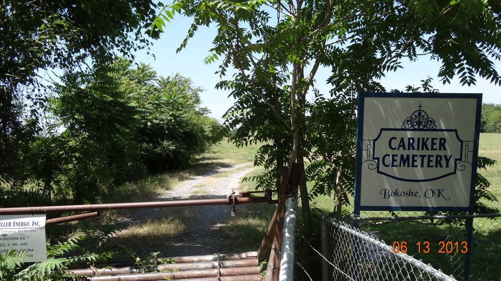
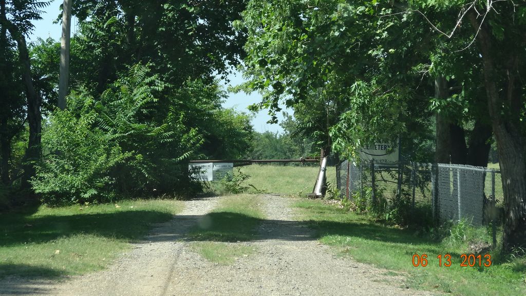
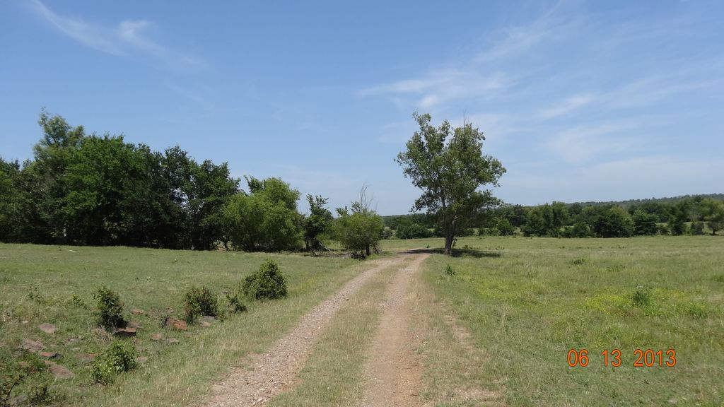
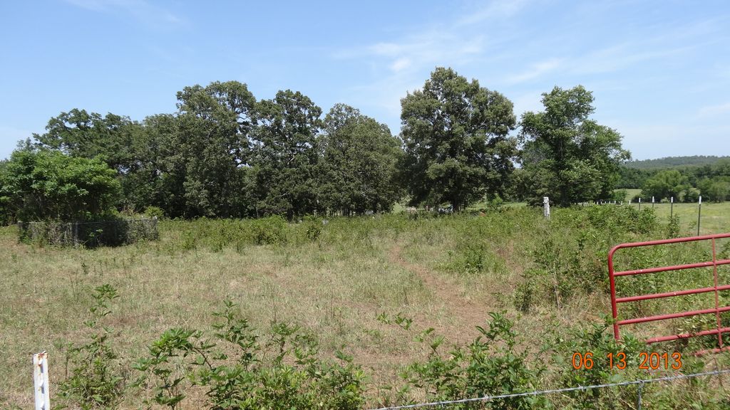
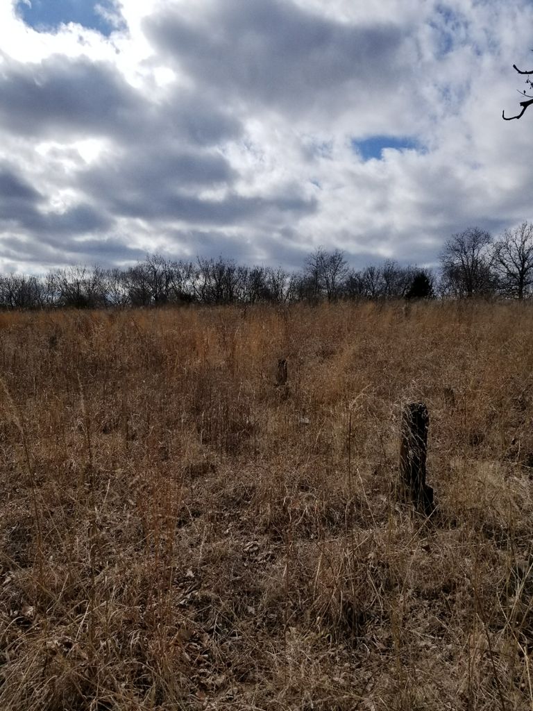
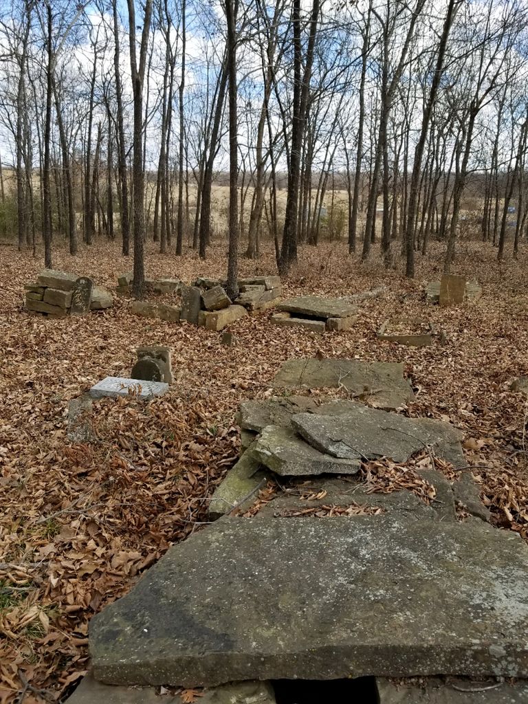
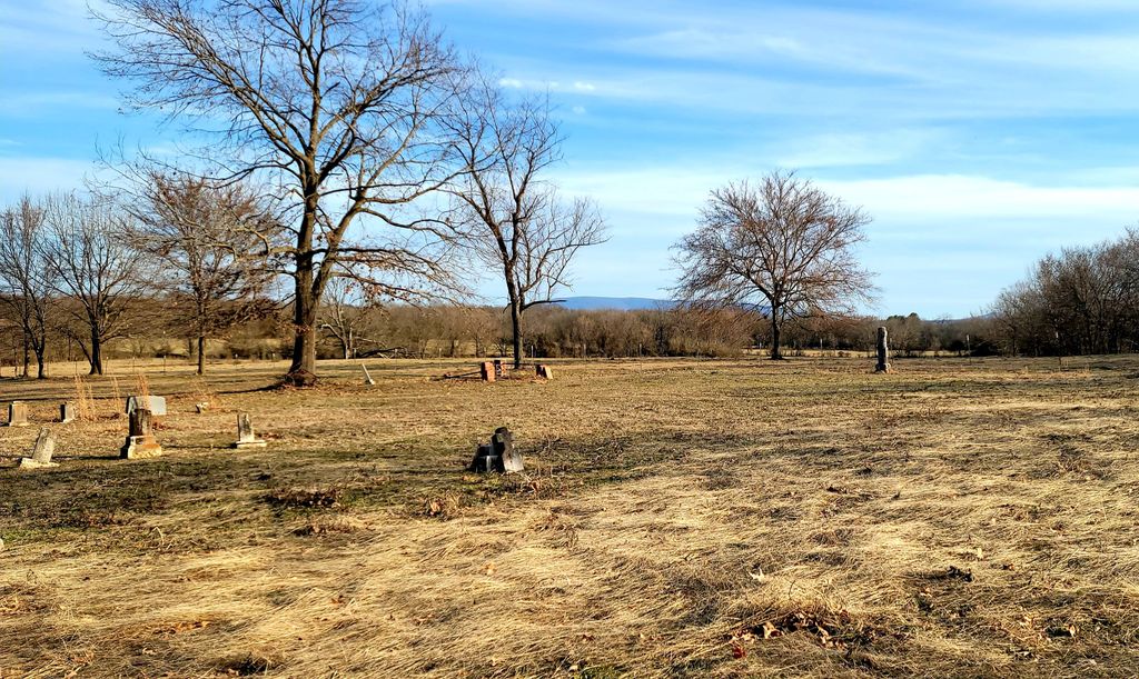
| Description | : | Directions: about a mile north of Bokoshe, across the railroad tracks Directions: From Hwy 31 take Oak Avenue to the end of street, turn right on North Street to first left on Old Main Street it will curve to the right and turn into Osage Street which will dead end. Turn left which looks like someone's driveway, you will see the gate and as you pull up to the gate you will see the Cariker Cemetery sign. You will need to walk down the road for about 600 yards as you round a set of trees you will see... Read More |
frequently asked questions (FAQ):
-
Where is Cariker Cemetery?
Cariker Cemetery is located at Bokoshe, Le Flore County ,Oklahoma ,USA.
-
Cariker Cemetery cemetery's updated grave count on graveviews.com?
0 memorials
-
Where are the coordinates of the Cariker Cemetery?
Latitude: 35.1980560
Longitude: -94.7825000
Nearby Cemetories:
1. Old Bokoshe Memorial Gardens
Bokoshe, Le Flore County, USA
Coordinate: 35.2059304, -94.7952273
2. Powell Cemetery
Bokoshe, Le Flore County, USA
Coordinate: 35.2052994, -94.7602997
3. Nubbin Ridge Cemetery
Bokoshe, Le Flore County, USA
Coordinate: 35.1974983, -94.7425003
4. Old Cache Cemetery
Sans Bois Township, Haskell County, USA
Coordinate: 35.2541000, -94.8217000
5. Brazil Cemetery
Shady Point, Le Flore County, USA
Coordinate: 35.1347008, -94.7668991
6. Milton Cemetery
Milton, Le Flore County, USA
Coordinate: 35.1661000, -94.8629900
7. Long Prairie Cemetery
Le Flore County, USA
Coordinate: 35.1157990, -94.7611008
8. Fairview Cemetery
Panama, Le Flore County, USA
Coordinate: 35.2019100, -94.6493700
9. Cowlington Cemetery
Cowlington, Le Flore County, USA
Coordinate: 35.3102989, -94.7780991
10. Calhoun Cemetery
Le Flore County, USA
Coordinate: 35.0944600, -94.7196500
11. Short Mountain Cemetery
Cowlington, Le Flore County, USA
Coordinate: 35.3149986, -94.7733002
12. Shady Point Cemetery
Shady Point, Le Flore County, USA
Coordinate: 35.1291667, -94.6558333
13. Luce
Keota, Haskell County, USA
Coordinate: 35.2199850, -94.9395240
14. Spiro City Cemetery
Spiro, Le Flore County, USA
Coordinate: 35.2425003, -94.6306000
15. Star Cemetery
Star, Haskell County, USA
Coordinate: 35.3133860, -94.8631000
16. Keota Cemetery
Sans Bois Township, Haskell County, USA
Coordinate: 35.2703018, -94.9213028
17. Royal Oak Cemetery
Panama, Le Flore County, USA
Coordinate: 35.1763800, -94.6058300
18. Caldwell Cemetery
Shady Point Township, Le Flore County, USA
Coordinate: 35.0689011, -94.8707962
19. Dog Creek Cemetery
Dog Creek, Le Flore County, USA
Coordinate: 35.0689011, -94.8707962
20. Iron Bridge Cemetery
Ironbridge, Haskell County, USA
Coordinate: 35.2382400, -94.9584300
21. Lindsey Cemetery
Poteau, Le Flore County, USA
Coordinate: 35.1163600, -94.6200700
22. Skullyville Cemetery
Skullyville, Le Flore County, USA
Coordinate: 35.2508200, -94.5944800
23. Roselawn Cemetery
Skullyville, Le Flore County, USA
Coordinate: 35.2511200, -94.5932900
24. Redland Cemetery
Muldrow, Sequoyah County, USA
Coordinate: 35.3039900, -94.6263800