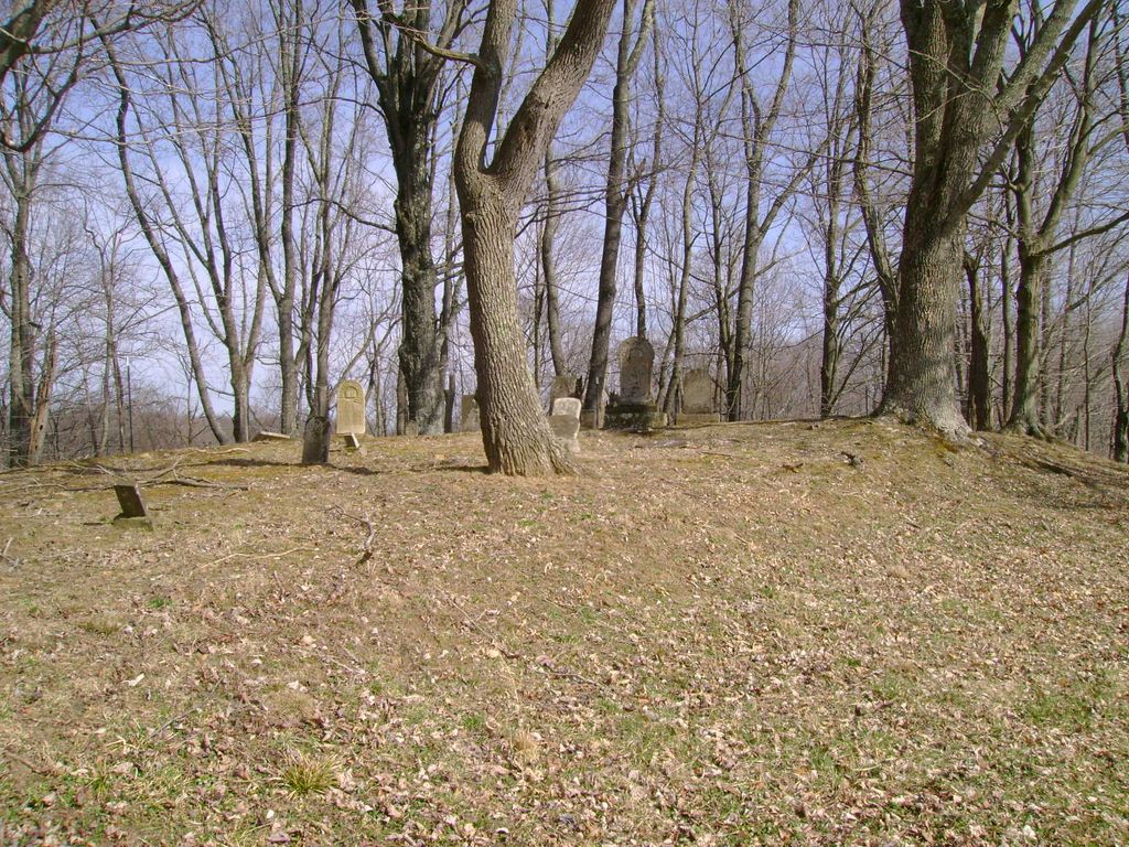
| Memorials | : | 0 |
| Location | : | Summers, Doddridge County, USA |
| Coordinate | : | 39.1681010, -80.8430240 |
| Description | : | Start at Intersection of Route 18 and U.S 50. at the caution light go West on US 50 about 3.8 miles exit Sunnyside ( Turn left on Sunnyside). You will be on old US Rt. 50, drive about 1.9 mile to Oxford Road & turn left on County road 21. drive to Oxford (South on County Road 19 to County Road 52 make a right go to the next interscetion make a right go to the top of the hill, (South Fork Baptist Church will be to the right) make a left and it is aprox. 100 yards. Cemetery... Read More |
frequently asked questions (FAQ):
-
Where is Carroll Cemetery?
Carroll Cemetery is located at Summers, Doddridge County ,West Virginia ,USA.
-
Carroll Cemetery cemetery's updated grave count on graveviews.com?
0 memorials
-
Where are the coordinates of the Carroll Cemetery?
Latitude: 39.1681010
Longitude: -80.8430240
Nearby Cemetories:
1. South Fork Cemetery
Oxford, Doddridge County, USA
Coordinate: 39.1672180, -80.8404270
2. South Fork Eastern Cemetery
Doddridge County, USA
Coordinate: 39.1657982, -80.8383026
3. Hart Cemetery
Doddridge County, USA
Coordinate: 39.1850014, -80.8371964
4. Gaston-Hart Cemetery
Summers, Doddridge County, USA
Coordinate: 39.1768000, -80.8028100
5. Oxford Cemetery
Doddridge County, USA
Coordinate: 39.2006920, -80.8610770
6. Leason Cemetery
Doddridge County, USA
Coordinate: 39.1506004, -80.8005981
7. Michael Cemetery
Doddridge County, USA
Coordinate: 39.2064018, -80.8644028
8. Nutter Cemetery
Doddridge County, USA
Coordinate: 39.2131004, -80.8467026
9. Toothman Cemetery
Pullman, Ritchie County, USA
Coordinate: 39.1666680, -80.9175640
10. Grove Cemetery
West Union, Doddridge County, USA
Coordinate: 39.1478004, -80.7711029
11. Grove Church Cemetery
Grove, Doddridge County, USA
Coordinate: 39.1474600, -80.7707700
12. Mount Union Methodist Cemetery
Leopold, Doddridge County, USA
Coordinate: 39.1133330, -80.8050000
13. Cabin Run Cemetery
West Union, Doddridge County, USA
Coordinate: 39.2361900, -80.8665000
14. Auburn Community Cemetery
Auburn, Ritchie County, USA
Coordinate: 39.0960999, -80.8533020
15. Maxwell Cemetery
Doddridge County, USA
Coordinate: 39.2160988, -80.7683029
16. Pine Grove Cemetery
Berea, Ritchie County, USA
Coordinate: 39.1314011, -80.9321976
17. Spurgeon Cemetery
Conings, Gilmer County, USA
Coordinate: 39.1019000, -80.7801750
18. Pullman Church Cemetery
Pullman, Ritchie County, USA
Coordinate: 39.1871986, -80.9480972
19. Lowther Cemetery
Doddridge County, USA
Coordinate: 39.1096992, -80.7656021
20. Auburn Baptist Church Cemetery
Auburn, Ritchie County, USA
Coordinate: 39.0819200, -80.8384600
21. Jones Cemetery
Greenwood, Doddridge County, USA
Coordinate: 39.2531700, -80.8629700
22. Hall Cemetery
Gilmer County, USA
Coordinate: 39.0816994, -80.8383026
23. Brannon Cemetery
Gilmer County, USA
Coordinate: 39.0997009, -80.7718964
24. Johnston Family Cemetery
West Union, Doddridge County, USA
Coordinate: 39.2593550, -80.8331870

