| Memorials | : | 127 |
| Location | : | Conings, Gilmer County, USA |
| Coordinate | : | 39.1019000, -80.7801750 |
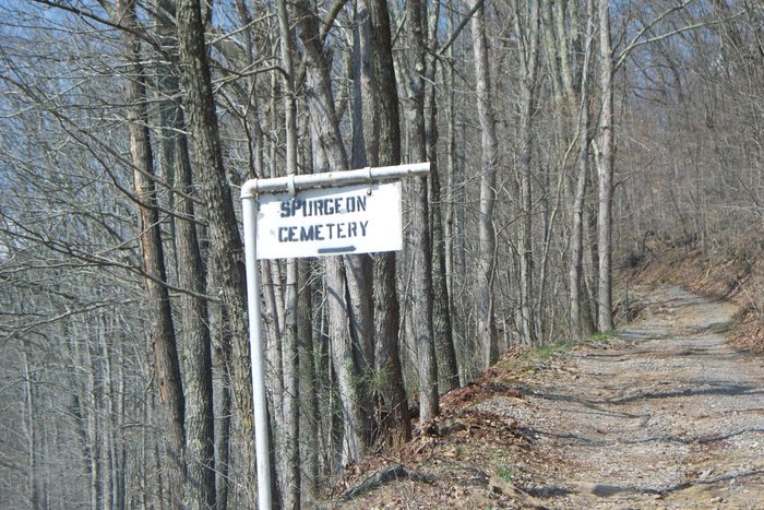
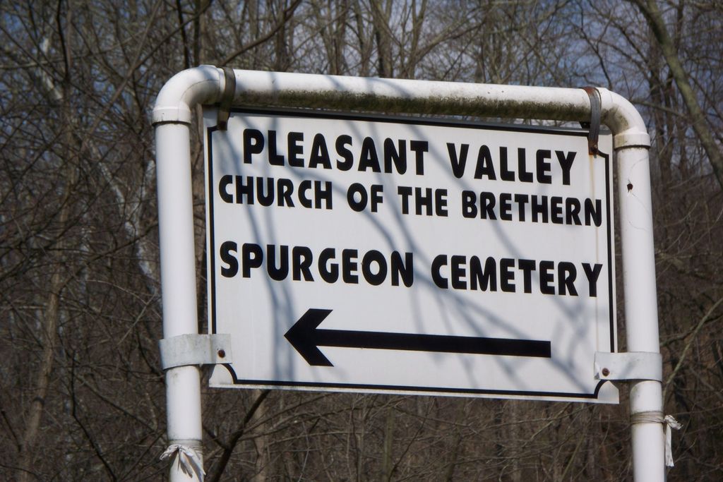
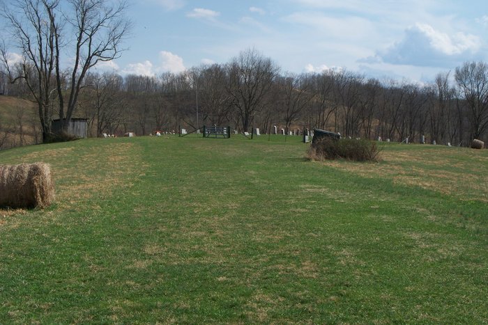
| Description | : | This Cemetery is also known as PLEASANT VALLEY CHURCH CEMETERY. LOCATED near Connings, Gilmer County. Cemetery is split between Doddridge and Gilmer County. Directions Start at Court House in West Union and drive south on Route 18 to County Road 8 which is a distance of Aprox. 21.9 miles (turn right on County Road 8) Stay on County Road )till you come to Bear Run Turn right and drive to the Pleasant Valley Church on the left. Turn left at the church and drive .2 miles to the Cemetery. The Cemetery is on your right up the hill. The church... Read More |
frequently asked questions (FAQ):
-
Where is Spurgeon Cemetery?
Spurgeon Cemetery is located at Conings, Gilmer County ,West Virginia ,USA.
-
Spurgeon Cemetery cemetery's updated grave count on graveviews.com?
127 memorials
-
Where are the coordinates of the Spurgeon Cemetery?
Latitude: 39.1019000
Longitude: -80.7801750
Nearby Cemetories:
1. Brannon Cemetery
Gilmer County, USA
Coordinate: 39.0997009, -80.7718964
2. Lowther Cemetery
Doddridge County, USA
Coordinate: 39.1096992, -80.7656021
3. Mount Earnest Cemetery
Gilmer County, USA
Coordinate: 39.0867004, -80.7652969
4. Mount Union Methodist Cemetery
Leopold, Doddridge County, USA
Coordinate: 39.1133330, -80.8050000
5. Big Run Cemetery
Gilmer County, USA
Coordinate: 39.0802994, -80.7585983
6. Keister Cemetery
Gilmer County, USA
Coordinate: 39.0727997, -80.7817001
7. Point Pleasant Cemetery
Oxford, Doddridge County, USA
Coordinate: 39.1032982, -80.7281036
8. Point Pleasant Baptist Church Cemetery
Leopold, Doddridge County, USA
Coordinate: 39.1036730, -80.7268200
9. Grove Church Cemetery
Grove, Doddridge County, USA
Coordinate: 39.1474600, -80.7707700
10. Grove Cemetery
West Union, Doddridge County, USA
Coordinate: 39.1478004, -80.7711029
11. Hall Cemetery
Gilmer County, USA
Coordinate: 39.0816994, -80.8383026
12. Auburn Baptist Church Cemetery
Auburn, Ritchie County, USA
Coordinate: 39.0819200, -80.8384600
13. Leason Cemetery
Doddridge County, USA
Coordinate: 39.1506004, -80.8005981
14. Auburn Community Cemetery
Auburn, Ritchie County, USA
Coordinate: 39.0960999, -80.8533020
15. Halderman Cemetery
Lewis County, USA
Coordinate: 39.0821991, -80.7039032
16. Saint Clare Cemetery
Saint Clara, Doddridge County, USA
Coordinate: 39.1258011, -80.7046967
17. Saint Johannes Lutheran Church Cemetery
New Milton, Doddridge County, USA
Coordinate: 39.1258320, -80.7014290
18. Hurst Cemetery
Lewis County, USA
Coordinate: 39.0741997, -80.6999969
19. Fisher Cemetery
Troy, Gilmer County, USA
Coordinate: 39.0480500, -80.8400000
20. Redemption Cemetery
Doddridge County, USA
Coordinate: 39.1506004, -80.7130966
21. Troy IOOF Community Cemetery
Troy, Gilmer County, USA
Coordinate: 39.0281170, -80.7679560
22. Horn Creek Baptist Church Cemetery
Gilmer County, USA
Coordinate: 39.0605700, -80.8633500
23. Gaston-Hart Cemetery
Summers, Doddridge County, USA
Coordinate: 39.1768000, -80.8028100
24. Carder Cemetery
Vadis, Lewis County, USA
Coordinate: 39.0433006, -80.7142029


