
| Memorials | : | 0 |
| Location | : | Mosheim, Greene County, USA |
| Coordinate | : | 36.2410380, -82.9098200 |
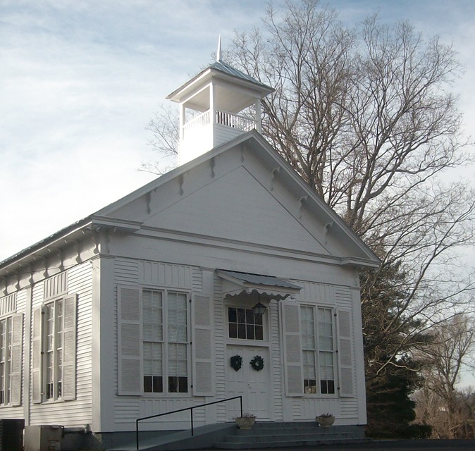
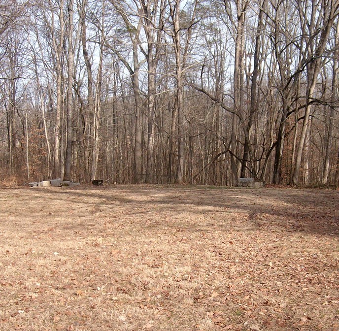
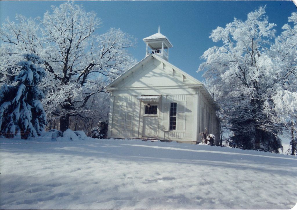
| Description | : | In the woods behind the UMC Church. This cemetery is closed to new interments and contains three graves. There are tombstones underneath this church. Someone said they were gathered and stacked there years ago from the cemetery down the road. At that time the church was open around the bottom and later was walled in with stone. There are also snakes underneath there with the tombstones. More burials down the road, See: Carters Station UMC Cemetery for location. |
frequently asked questions (FAQ):
-
Where is Carters Station UMC Churchyard?
Carters Station UMC Churchyard is located at 1150 Albany Road Mosheim, Greene County ,Tennessee ,USA.
-
Carters Station UMC Churchyard cemetery's updated grave count on graveviews.com?
0 memorials
-
Where are the coordinates of the Carters Station UMC Churchyard?
Latitude: 36.2410380
Longitude: -82.9098200
Nearby Cemetories:
1. Carters Station UMC Cemetery
Mosheim, Greene County, USA
Coordinate: 36.2395860, -82.9099840
2. Carters Chapel United Methodist Church Cemetery
Greene County, USA
Coordinate: 36.2452800, -82.9224610
3. Ottway Bible Church Cemetery
Ottway, Greene County, USA
Coordinate: 36.2449610, -82.8812270
4. J.H. Anderson Cemetery
Greene County, USA
Coordinate: 36.2139300, -82.8874800
5. Mount Carmel United Methodist Church Cemetery
Mosheim, Greene County, USA
Coordinate: 36.2508210, -82.9526230
6. Malone Cemetery
Ottway, Greene County, USA
Coordinate: 36.2508200, -82.8611200
7. Carter Family Cemetery
Greeneville, Greene County, USA
Coordinate: 36.2851390, -82.9241610
8. Brown Springs Baptist Church Cemetery
Mosheim, Greene County, USA
Coordinate: 36.2032660, -82.9424770
9. New Bethel Cumberland Presbyterian Cemetery
Greene County, USA
Coordinate: 36.1954060, -82.8839970
10. Price Cemetery
Baileyton, Greene County, USA
Coordinate: 36.2919360, -82.9192790
11. Mountain Valley Church of the Brethren Cemetery
Ottway, Greene County, USA
Coordinate: 36.2931300, -82.8918500
12. Starnes family cemetery
Romeo, Greene County, USA
Coordinate: 36.2911110, -82.9358330
13. Mount Sinai United Methodist Church Cemetery
Mosheim, Greene County, USA
Coordinate: 36.2405260, -82.9829440
14. Mosheim Central Cemetery
Mosheim, Greene County, USA
Coordinate: 36.1906900, -82.9574800
15. Blue Springs Cemetery
Mosheim, Greene County, USA
Coordinate: 36.1899500, -82.9580200
16. Hardins Chapel United Methodist Church Cemetery
Greeneville, Greene County, USA
Coordinate: 36.2108190, -82.8368730
17. White Cemetery
Mosheim, Greene County, USA
Coordinate: 36.1895465, -82.9620014
18. Carter Cemetery
Greene County, USA
Coordinate: 36.3005981, -82.8713989
19. Kidwell Cemetery
Greeneville, Greene County, USA
Coordinate: 36.2063600, -82.8381400
20. Brotherton Cemetery
Greene County, USA
Coordinate: 36.2789001, -82.9800034
21. Couch-Patterson Cemetery
Greene County, USA
Coordinate: 36.2971992, -82.9582977
22. Everhart Cemetery
Greene County, USA
Coordinate: 36.3058014, -82.9431000
23. Wesley Chapel UM Church Cemetery
Greeneville, Greene County, USA
Coordinate: 36.2878500, -82.8444100
24. Carpenter's Chapel Cemetery
Mosheim, Greene County, USA
Coordinate: 36.2200890, -82.9935800