| Memorials | : | 0 |
| Location | : | Goldsboro, Caroline County, USA |
| Coordinate | : | 39.0524520, -75.7854550 |
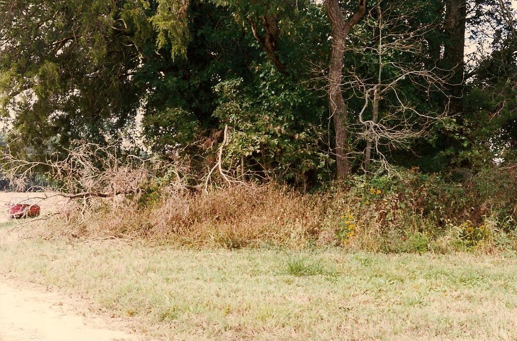
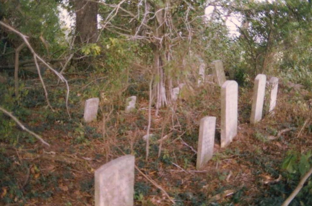
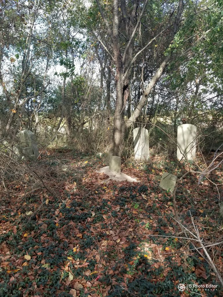
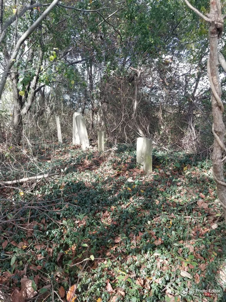
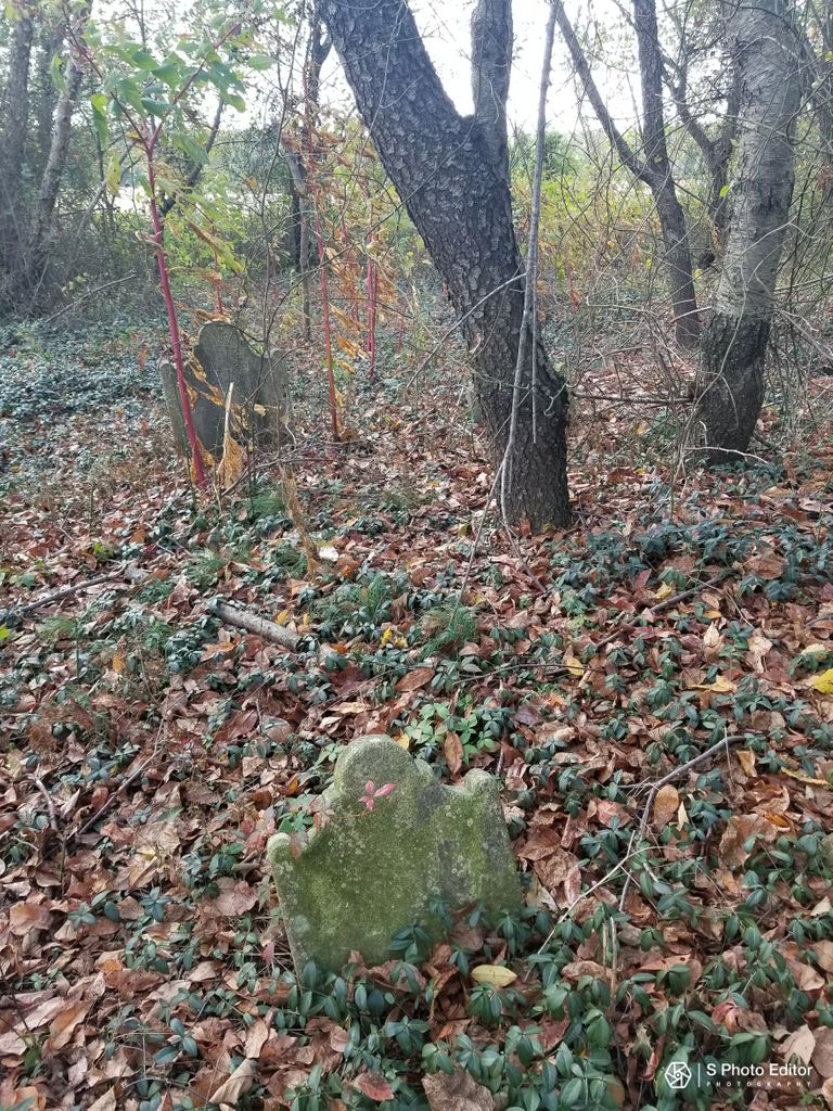
| Description | : | The cemetery is located on the grounds of Castle Hall, built 1781, the estate of the Hardcastle family. The estate remained in the Hardcastle family until 1890 and has been owned by various private owners since. The home is on the National Register of Historic Places. It had been stated in 1998 that the then-owner of the property had intentions of "removing" the cemetery, but this has not been verified. |
frequently asked questions (FAQ):
-
Where is Castle Hall Cemetery?
Castle Hall Cemetery is located at Castle Hall Rd Goldsboro, Caroline County ,Maryland ,USA.
-
Castle Hall Cemetery cemetery's updated grave count on graveviews.com?
0 memorials
-
Where are the coordinates of the Castle Hall Cemetery?
Latitude: 39.0524520
Longitude: -75.7854550
Nearby Cemetories:
1. Union Memorial Cemetery
Goldsboro, Caroline County, USA
Coordinate: 39.0311012, -75.8210983
2. Jarman-Seward-Tucker Cemetery
Goldsboro, Caroline County, USA
Coordinate: 39.0237500, -75.8215700
3. Betsy Baynard Farm Cemetery
Goldsboro, Caroline County, USA
Coordinate: 39.0159200, -75.7596900
4. Mount Zion Cemetery
Mount Zion, Caroline County, USA
Coordinate: 39.0985000, -75.7861800
5. Slaughter Family Plot
Sandtown, Kent County, USA
Coordinate: 39.0592900, -75.7243900
6. Raughley Cemetery
Sandtown, Kent County, USA
Coordinate: 39.0693270, -75.7251060
7. Jarrell Family Cemetery
Bridgetown, Caroline County, USA
Coordinate: 39.0161900, -75.8351600
8. Clements Family Plot
Sandtown, Kent County, USA
Coordinate: 39.0540930, -75.7106920
9. Parkers Chapel Cemetery
Marydel, Kent County, USA
Coordinate: 39.0826000, -75.7183000
10. Charlie Miller Farm Graveyard
Greensboro, Caroline County, USA
Coordinate: 38.9886200, -75.7705300
11. Mount Olive Cemetery
Sandtown, Kent County, USA
Coordinate: 39.0374985, -75.6977997
12. Cow Marsh Baptist Church Cemetery
Petersburg, Kent County, USA
Coordinate: 39.0423203, -75.6943817
13. Longfellow Family Plot
Sandtown, Kent County, USA
Coordinate: 39.0280000, -75.6957000
14. John D Voshell Cemetery
Marydel, Kent County, USA
Coordinate: 39.0967630, -75.7081550
15. Lockerman ME Church Cemetery
Bridgetown, Caroline County, USA
Coordinate: 39.0145200, -75.8684200
16. John Clark Family Graveyard
Whiteleysburg, Kent County, USA
Coordinate: 39.0228510, -75.6931830
17. Old Methodist Church Cemetery
Greensboro, Caroline County, USA
Coordinate: 38.9761000, -75.8045500
18. Thomas Chapel Cemetery
Chapeltown, Kent County, USA
Coordinate: 39.0987511, -75.7037888
19. Bridgetown M.E. Church Cemetery
Queen Anne's County, USA
Coordinate: 39.0331001, -75.8858032
20. Hall-Boyer Cemetery
Templeville, Caroline County, USA
Coordinate: 39.1315920, -75.7650660
21. Edwards Family Cemetery
Edwardsville, Kent County, USA
Coordinate: 38.9953500, -75.7097500
22. Templeville Cemetery
Templeville, Caroline County, USA
Coordinate: 39.1342010, -75.7752991
23. N H Jones Family Plot
Marydel, Kent County, USA
Coordinate: 39.1122110, -75.7118350
24. Greensboro Cemetery
Greensboro, Caroline County, USA
Coordinate: 38.9707985, -75.8110962

