
| Memorials | : | 196 |
| Location | : | Knawl, Braxton County, USA |
| Coordinate | : | 38.8292020, -80.5163670 |
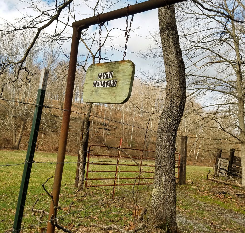
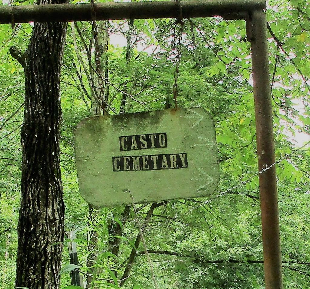
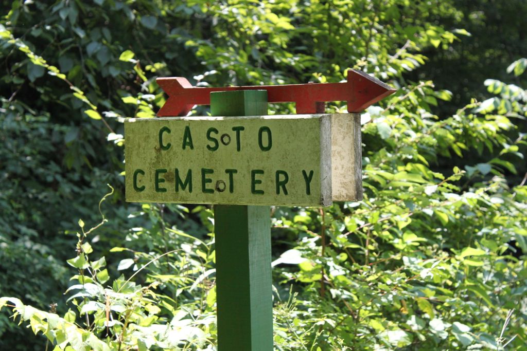
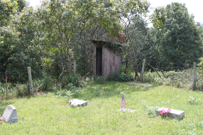
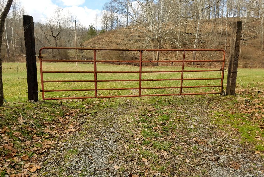
| Description | : | From Rt 19 (Gauley Turnpike) traveling north past the Fall Run Church, take a left onto Pigeon Roost Road. Travel Pigeon Roost until it intersects with Knawls Creek Road. Turn right. Signs for Casto Cemetery are about half a mile and just past a residence. It is best to park by the farmgate, walk across the meadow, through another farmgate and up the hill about 200 yds to the cemetery. It is well maintained. |
frequently asked questions (FAQ):
-
Where is Casto Cemetery?
Casto Cemetery is located at Left Fork Knawls Creek Road Knawl, Braxton County ,West Virginia ,USA.
-
Casto Cemetery cemetery's updated grave count on graveviews.com?
196 memorials
-
Where are the coordinates of the Casto Cemetery?
Latitude: 38.8292020
Longitude: -80.5163670
Nearby Cemetories:
1. Knawls Creek Cemetery
Knawl, Braxton County, USA
Coordinate: 38.8299100, -80.5035330
2. Chop Fork Cemetery
Chapman, Braxton County, USA
Coordinate: 38.8391991, -80.5428009
3. Fleming Cemetery
Braxton County, USA
Coordinate: 38.8181000, -80.5588989
4. Wilson Cemetery
Ireland, Lewis County, USA
Coordinate: 38.8083550, -80.4753040
5. Hall Family Cemetery
Walkersville, Lewis County, USA
Coordinate: 38.8702470, -80.4852440
6. Reger Farm Cemetery
Ireland, Lewis County, USA
Coordinate: 38.8150030, -80.4563910
7. Falls Run Cemetery
Falls Mill, Braxton County, USA
Coordinate: 38.7796270, -80.5238310
8. McClain Cemetery
Walkersville, Lewis County, USA
Coordinate: 38.8536110, -80.4561110
9. Hedding Chapel Cemetery
Walkersville, Lewis County, USA
Coordinate: 38.8425590, -80.4499710
10. Clover Fork Cemetery
Orlando, Lewis County, USA
Coordinate: 38.8583500, -80.5774260
11. Anderson Family Cemetery
Walkersville, Lewis County, USA
Coordinate: 38.8488960, -80.4490850
12. Long Point Cemetery
Walkersville, Lewis County, USA
Coordinate: 38.8718987, -80.4666977
13. McCray Cemetery
Ireland, Lewis County, USA
Coordinate: 38.7963700, -80.4533280
14. Fair Haven Church Cemetery
Ireland, Lewis County, USA
Coordinate: 38.8333610, -80.4402740
15. Hannah Temple Cemetery
Walkersville, Lewis County, USA
Coordinate: 38.8800610, -80.4736130
16. Falls Mill Cemetery
Falls Mill, Braxton County, USA
Coordinate: 38.7763680, -80.5552020
17. Simons Cemetery
Walkersville, Lewis County, USA
Coordinate: 38.8806490, -80.4731390
18. Johnson Cemetery
Falls Mill, Braxton County, USA
Coordinate: 38.7760700, -80.5568600
19. Rittenhouse Cemetery
Walkersville, Lewis County, USA
Coordinate: 38.8812700, -80.4730520
20. Riffles Run Cemetery
Burnsville, Braxton County, USA
Coordinate: 38.8474900, -80.5944100
21. Hull-Leatherbark Run Cemetery
Walkersville, Lewis County, USA
Coordinate: 38.8469700, -80.4380100
22. McCutcheon Chapel Cemetery
Ireland, Lewis County, USA
Coordinate: 38.8115200, -80.4373460
23. Pickens Cemetery
Duffy, Lewis County, USA
Coordinate: 38.7921982, -80.4475021
24. Jacksonville Cemetery
Weston, Lewis County, USA
Coordinate: 38.8919890, -80.4935740