
| Memorials | : | 11 |
| Location | : | Falls Mill, Braxton County, USA |
| Coordinate | : | 38.7760700, -80.5568600 |
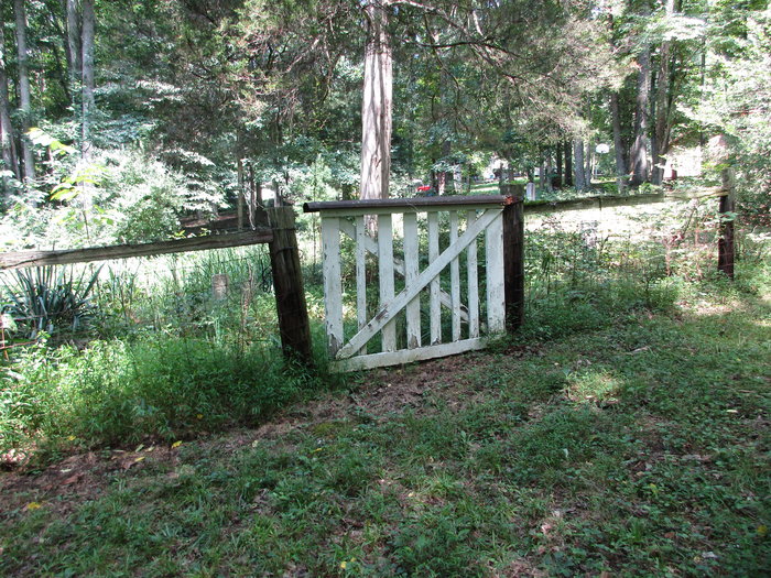
| Description | : | This originated as a black burial ground, however half the markers found were for white neighbors including two elderly Haymond brothers. Take US 19 north from Heaters/Napier. Turn left onto Curry Ridge Road. Along the roadway for the first 100 yds is a guardrail that ends at the mailboxes. In the middle of the guardrail is a planned break. The cemetery is a few yards into the woods from the roadway through the break in the guardrail. The cemetery is fenced and gated but not well maintained. |
frequently asked questions (FAQ):
-
Where is Johnson Cemetery?
Johnson Cemetery is located at Curry Ridge Road Falls Mill, Braxton County ,West Virginia , 26631USA.
-
Johnson Cemetery cemetery's updated grave count on graveviews.com?
11 memorials
-
Where are the coordinates of the Johnson Cemetery?
Latitude: 38.7760700
Longitude: -80.5568600
Nearby Cemetories:
1. Falls Mill Cemetery
Falls Mill, Braxton County, USA
Coordinate: 38.7763680, -80.5552020
2. Highwood Cemetery
Heaters, Braxton County, USA
Coordinate: 38.7651300, -80.5625300
3. Big Run Cemetery
Braxton County, USA
Coordinate: 38.7813988, -80.5858002
4. Lake Lane Cemetery
Braxton County, USA
Coordinate: 38.7529870, -80.5612010
5. Falls Run Cemetery
Falls Mill, Braxton County, USA
Coordinate: 38.7796270, -80.5238310
6. Pleasant Hill Church Cemetery
Gregory, Braxton County, USA
Coordinate: 38.7615670, -80.5231860
7. Pleasant Hill Cemetery
Exchange, Braxton County, USA
Coordinate: 38.7613500, -80.5233000
8. Gregory Cemetery
Gregory, Braxton County, USA
Coordinate: 38.7522450, -80.5271600
9. Bear Gardens Cemetery
Heaters, Braxton County, USA
Coordinate: 38.7412310, -80.5721360
10. Tichenel Cemetery
Heaters, Braxton County, USA
Coordinate: 38.7644070, -80.6060990
11. Browns Run Cemetery
Burnsville, Braxton County, USA
Coordinate: 38.7971992, -80.6027985
12. Fleming Cemetery
Braxton County, USA
Coordinate: 38.8181000, -80.5588989
13. Tonkin Cemetery
Corley, Braxton County, USA
Coordinate: 38.7531980, -80.6054070
14. Cogar Cemetery
Corley, Braxton County, USA
Coordinate: 38.7273360, -80.5474580
15. Yeager Cemetery
Corley, Braxton County, USA
Coordinate: 38.7257160, -80.5455270
16. Fisher Cemetery
Falls Mill, Braxton County, USA
Coordinate: 38.7282982, -80.5291977
17. Gibson Cemetery
Braxton County, USA
Coordinate: 38.7332993, -80.5156021
18. Gateless Memorial Burial Site
Corley, Braxton County, USA
Coordinate: 38.7217880, -80.5613280
19. Gibson Family Cemetery
Corley, Braxton County, USA
Coordinate: 38.7410580, -80.6113190
20. Green Hill Cemetery
Hettie, Braxton County, USA
Coordinate: 38.7630170, -80.4827000
21. Marple Cemetery
Heaters, Braxton County, USA
Coordinate: 38.7604600, -80.6333000
22. Casto Cemetery
Knawl, Braxton County, USA
Coordinate: 38.8292020, -80.5163670
23. Chop Fork Cemetery
Chapman, Braxton County, USA
Coordinate: 38.8391991, -80.5428009
24. Berry Chapel Cemetery
Heaters, Braxton County, USA
Coordinate: 38.7455600, -80.6308300