
| Memorials | : | 0 |
| Location | : | Crittenden County, USA |
| Coordinate | : | 34.9543130, -90.2788460 |
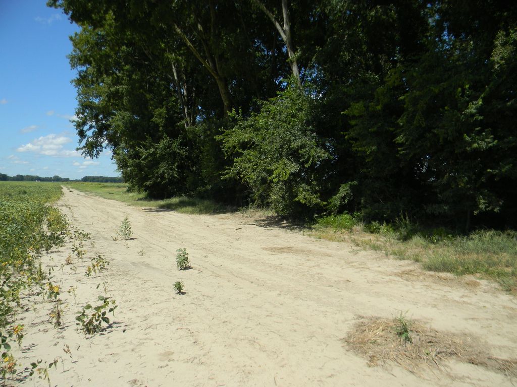
| Description | : | Cat Island is a ghost town located at 34.946694, -90.278222 right up against the west side of the Mississippi river levy near Horseshoe Lake, AR. The cemetery is north of the old town site about .5 mile where the Cat Island Rd, turns south along the levy. ( I was told there were a few more graves on the east side of the levy, but I was not able to look.) Locust Grove cemetery is located about .5 miles south of the town site, also on the west side of the levy, with a couple of graves in Locust... Read More |
frequently asked questions (FAQ):
-
Where is Cat Island Cemetery?
Cat Island Cemetery is located at Crittenden County ,Arkansas ,USA.
-
Cat Island Cemetery cemetery's updated grave count on graveviews.com?
0 memorials
-
Where are the coordinates of the Cat Island Cemetery?
Latitude: 34.9543130
Longitude: -90.2788460
Nearby Cemetories:
1. Locust Grove Cemetery East
Crittenden County, USA
Coordinate: 34.9402880, -90.2756520
2. Locust Grove Cemetery
Crittenden County, USA
Coordinate: 34.9397011, -90.2774963
3. Norfolk Missionary Baptist Church Cemetery
Lewisburg, DeSoto County, USA
Coordinate: 34.9851620, -90.2381620
4. Rodgers Cemetery
Horseshoe Lake, Crittenden County, USA
Coordinate: 34.9094009, -90.2925034
5. Morning Star M.B. Church Cemetery
Walls, DeSoto County, USA
Coordinate: 34.9410744, -90.2155228
6. Norfolk Baptist Church Cemetery
Lake Cormorant, DeSoto County, USA
Coordinate: 34.9924930, -90.2157090
7. New Mount Zion Cemetery
Crittenden County, USA
Coordinate: 34.9942017, -90.3447037
8. Bethlehem CME Church Cemetery
Lake Cormorant, DeSoto County, USA
Coordinate: 34.9195120, -90.2029670
9. New Hope Missionary Baptist Church Cemetery
Walls, DeSoto County, USA
Coordinate: 34.9709800, -90.1858950
10. Morning Star Cemetery
Bruins, Crittenden County, USA
Coordinate: 34.9037370, -90.3656570
11. Sweet Home Cemetery
Hughes, St. Francis County, USA
Coordinate: 34.9265840, -90.3816820
12. Rising Sun MB Church Cemetery
Lake Cormorant, DeSoto County, USA
Coordinate: 34.8619600, -90.2751200
13. Mount Zion Church Cemetery
Walls, DeSoto County, USA
Coordinate: 34.9330240, -90.1549360
14. Beck's Plantation Cemetery
Beck, Crittenden County, USA
Coordinate: 34.9048240, -90.4001430
15. Mullin Cemetery
Tunica County, USA
Coordinate: 34.8418465, -90.2980499
16. True Vine Missionary Baptist Church Cemetery
Crittenden County, USA
Coordinate: 35.0664500, -90.3199100
17. Liberty Hill Church Cemetery
Lake Cormorant, DeSoto County, USA
Coordinate: 34.9007690, -90.1500420
18. Carroll Bluff MB Church Cemetery
Walls, DeSoto County, USA
Coordinate: 34.9482170, -90.1320880
19. Lakeview Baptist Church Cemetery
Walls, DeSoto County, USA
Coordinate: 34.9851440, -90.1339900
20. Saint Johns Cemetery
West Memphis, Crittenden County, USA
Coordinate: 35.0705986, -90.2305984
21. Armistead Cemetery
Walls, DeSoto County, USA
Coordinate: 34.9479430, -90.1278310
22. Saint Paul CME Church Cemetery
Walls, DeSoto County, USA
Coordinate: 34.9638470, -90.1224210
23. Sandy Hill Cemetery
Democrat, St. Francis County, USA
Coordinate: 35.0157623, -90.4169464
24. Mount Zion Cemetery
Greasy Corner, St. Francis County, USA
Coordinate: 35.0174900, -90.4198100