
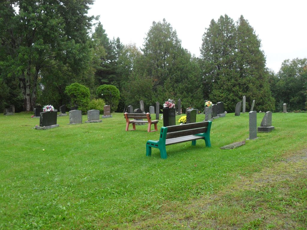
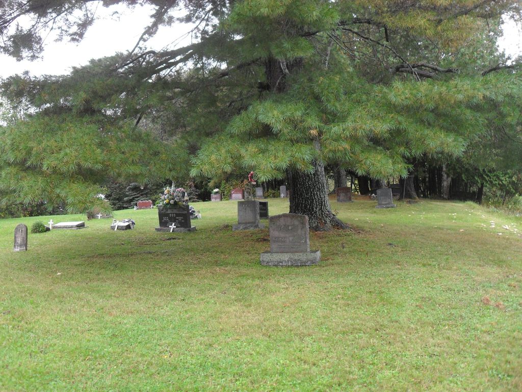
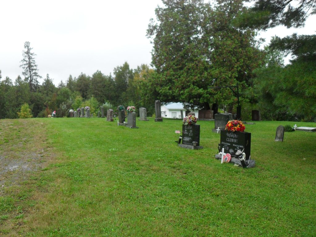
| Memorials | : | 19 |
| Location | : | Restoule, Parry Sound District, Canada |
| Coordinate | : | 46.0254720, -79.7339640 |
| Description | : | Restoule is a small community situated on the Restoule River between Commanda Lake, and Restoule Lake in central Ontario, Canada. Restoule is located in Patterson Township, which is an unincorporated township in Central Unorganized Parry Sound District. Restoule is considered a designated place by Statistics Canada. This means that although Restoule is not an incorporated village, it is recognized by Statistics Canada as an important populated place because it has a local services board. The board covers the main community of Restoule, and also the small communities of Carr and Farley's Corners. Restoule is located on Secondary Highway #534 and is... Read More |
frequently asked questions (FAQ):
-
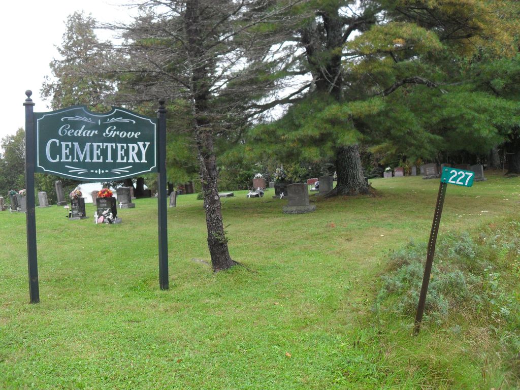
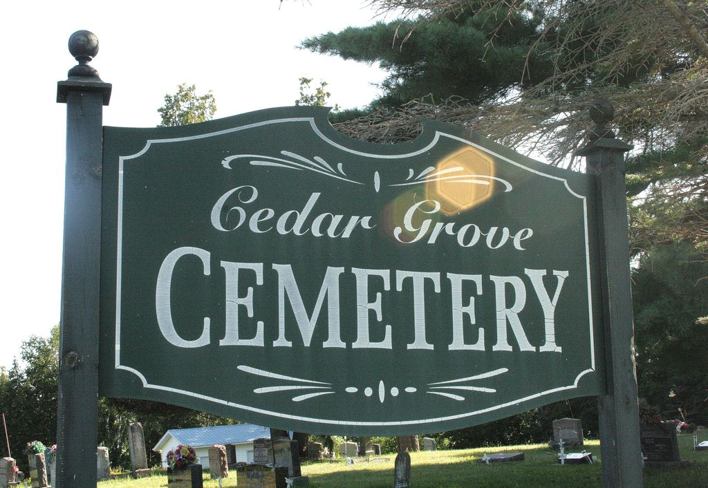
Where is Cedar Grove Cemetery?
Cedar Grove Cemetery is located at Restoule, Parry Sound District ,Ontario ,Canada.
-
Cedar Grove Cemetery cemetery's updated grave count on graveviews.com?
19 memorials
-
Where are the coordinates of the Cedar Grove Cemetery?
Latitude: 46.0254720
Longitude: -79.7339640
Nearby Cemetories:
1. Golden Valley Cemetery
Golden Valley, Parry Sound District, Canada
Coordinate: 45.9251970, -79.8041630
2. Barber Poineer Cemetery
Restoule, Parry Sound District, Canada
Coordinate: 46.0636100, -79.5771700
3. Nipissing Union Cemetery
Nipissing, Nipissing District, Canada
Coordinate: 46.0894700, -79.5131200
4. Arnstein Cemetery
Arnstein, Parry Sound District, Canada
Coordinate: 45.9082100, -79.9174300
5. St. Mary's Cemetery
Loring, Parry Sound District, Canada
Coordinate: 45.9357167, -79.9843667
6. Pioneer Cemetery
Loring, Parry Sound District, Canada
Coordinate: 45.9352167, -79.9869333
7. Port and Loring Cemetery
Port Loring, Parry Sound District, Canada
Coordinate: 45.9200833, -79.9874667
8. Saint Joseph’s Cemetery
Powassan, Parry Sound District, Canada
Coordinate: 46.0837400, -79.3906000
9. Powassan Union Cemetery
Powassan, Parry Sound District, Canada
Coordinate: 46.0772500, -79.3875700
10. Union Cemetery
Trout Creek, Parry Sound District, Canada
Coordinate: 45.9833200, -79.3768000
11. Sacred Heart Cemetery
Trout Creek, Parry Sound District, Canada
Coordinate: 45.9979500, -79.3710000
12. Zion Lutheran Deer Lake Cemetery
Parry Sound, Parry Sound District, Canada
Coordinate: 45.7932440, -79.5596210
13. Higher Heights Christian Fellowship Cemetery
South River, Parry Sound District, Canada
Coordinate: 45.8953070, -79.3786800
14. Siloam Cemetery
South River, Parry Sound District, Canada
Coordinate: 45.8499800, -79.4176500
15. South River Cemetery
South River, Parry Sound District, Canada
Coordinate: 45.8359500, -79.3982400
16. Holiness Cemetery
Powassan, Parry Sound District, Canada
Coordinate: 46.0478900, -79.2822000
17. Callander Union Cemetery
East Ferris, Nipissing District, Canada
Coordinate: 46.2106250, -79.3463570
18. Nipissing Junction Union Cemetery
Nipissing Junction, Nipissing District, Canada
Coordinate: 46.2590675, -79.3879852
19. Duchesnay Creek Nipissing First Nation Cemetery
North Bay, Nipissing District, Canada
Coordinate: 46.3285300, -79.5225300
20. Chapman Community Cemetery
Chapman, Parry Sound District, Canada
Coordinate: 45.6943265, -79.6374739
21. Maple Island Cemetery
Maple Island, Parry Sound District, Canada
Coordinate: 45.6994100, -79.8725300
22. Strong Community Cemetery
Sundridge, Parry Sound District, Canada
Coordinate: 45.7767448, -79.4004288
23. Boxwell Cemetery
Powassan, Parry Sound District, Canada
Coordinate: 46.0971690, -79.2474040
24. Spence Community Cemetery
Spence, Parry Sound District, Canada
Coordinate: 45.6794395, -79.6414413