
| Memorials | : | 3 |
| Location | : | Loring, Parry Sound District, Canada |
| Coordinate | : | 45.9357167, -79.9843667 |
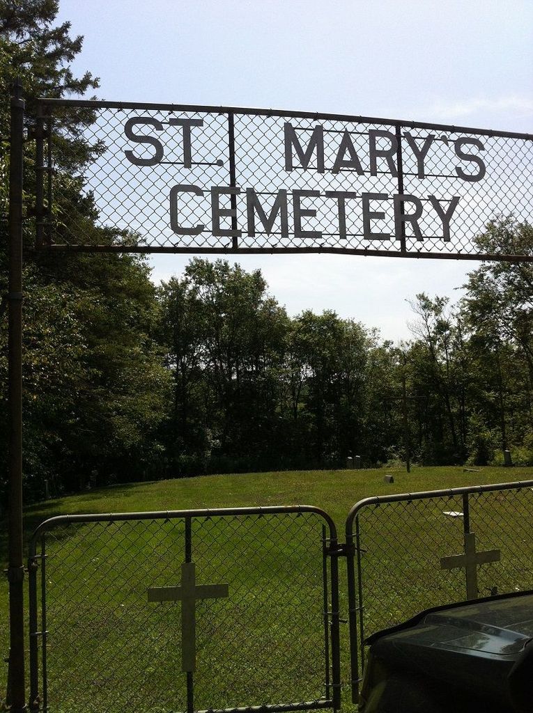
| Description | : | Small, well kept cemetery. |
frequently asked questions (FAQ):
-
Where is St. Mary's Cemetery?
St. Mary's Cemetery is located at 174 East Road Loring, Parry Sound District ,Ontario , P0H 1S0Canada.
-
St. Mary's Cemetery cemetery's updated grave count on graveviews.com?
3 memorials
-
Where are the coordinates of the St. Mary's Cemetery?
Latitude: 45.9357167
Longitude: -79.9843667
Nearby Cemetories:
1. Pioneer Cemetery
Loring, Parry Sound District, Canada
Coordinate: 45.9352167, -79.9869333
2. Port and Loring Cemetery
Port Loring, Parry Sound District, Canada
Coordinate: 45.9200833, -79.9874667
3. Arnstein Cemetery
Arnstein, Parry Sound District, Canada
Coordinate: 45.9082100, -79.9174300
4. Golden Valley Cemetery
Golden Valley, Parry Sound District, Canada
Coordinate: 45.9251970, -79.8041630
5. Cedar Grove Cemetery
Restoule, Parry Sound District, Canada
Coordinate: 46.0254720, -79.7339640
6. Maple Island Cemetery
Maple Island, Parry Sound District, Canada
Coordinate: 45.6994100, -79.8725300
7. Ahmic Harbour Cemetery
Ahmic Harbour, Parry Sound District, Canada
Coordinate: 45.6623383, -79.7782211
8. Barber Poineer Cemetery
Restoule, Parry Sound District, Canada
Coordinate: 46.0636100, -79.5771700
9. Community Of Christ Cemetery
Nipissing District, Canada
Coordinate: 46.1780000, -80.2846667
10. St. Aidan's Anglican Church Cemetery
Monetville, Sudbury District, Canada
Coordinate: 46.1775640, -80.2938640
11. Zion Lutheran Deer Lake Cemetery
Parry Sound, Parry Sound District, Canada
Coordinate: 45.7932440, -79.5596210
12. Calvary Mennonite Cemetery
Monetville, Sudbury District, Canada
Coordinate: 46.1774530, -80.3119470
13. All Peoples Cemetery
Monetville, Sudbury District, Canada
Coordinate: 46.1620556, -80.3435000
14. Chapman Community Cemetery
Chapman, Parry Sound District, Canada
Coordinate: 45.6943265, -79.6374739
15. Dunchurch-Fairholme Cemetery
Dunchurch, Parry Sound District, Canada
Coordinate: 45.5963989, -79.9045702
16. Spence Community Cemetery
Spence, Parry Sound District, Canada
Coordinate: 45.6794395, -79.6414413
17. Nipissing Union Cemetery
Nipissing, Nipissing District, Canada
Coordinate: 46.0894700, -79.5131200
18. St. David Municipal Cemetery
Noelville, Sudbury District, Canada
Coordinate: 46.1318333, -80.4305417
19. Siloam Cemetery
South River, Parry Sound District, Canada
Coordinate: 45.8499800, -79.4176500
20. Lavigne Cemetery
Lavigne, Nipissing District, Canada
Coordinate: 46.3280510, -80.1812300
21. South River Cemetery
South River, Parry Sound District, Canada
Coordinate: 45.8359500, -79.3982400
22. St Thomas Anglican Cemetery
French River, Sudbury District, Canada
Coordinate: 46.0247650, -80.5753640
23. Higher Heights Christian Fellowship Cemetery
South River, Parry Sound District, Canada
Coordinate: 45.8953070, -79.3786800
24. Union Cemetery
Trout Creek, Parry Sound District, Canada
Coordinate: 45.9833200, -79.3768000