
| Memorials | : | 0 |
| Location | : | Austins Mill, Hawkins County, USA |
| Coordinate | : | 36.3731500, -83.0021060 |
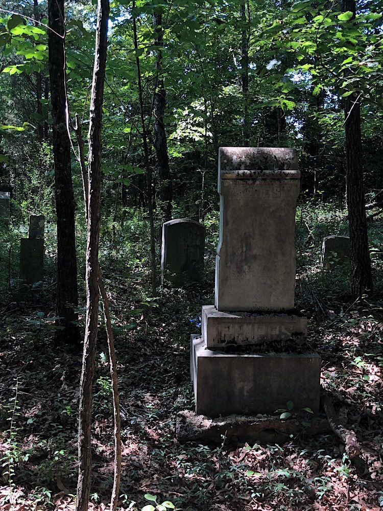
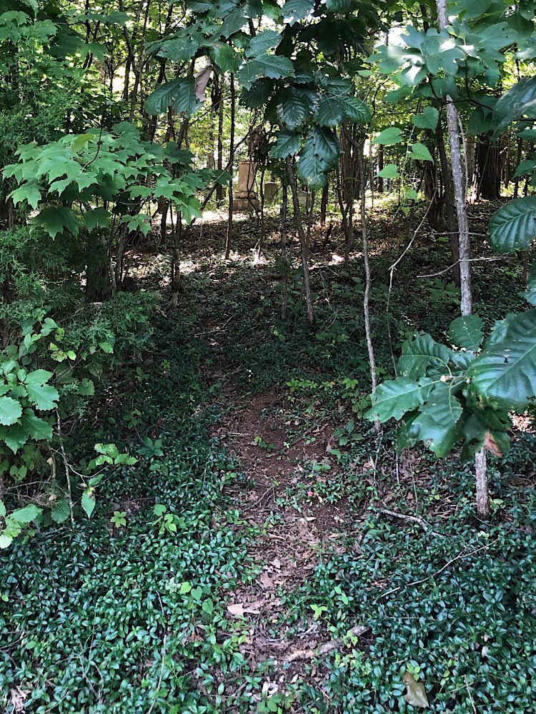
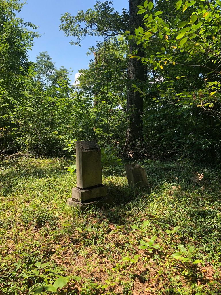
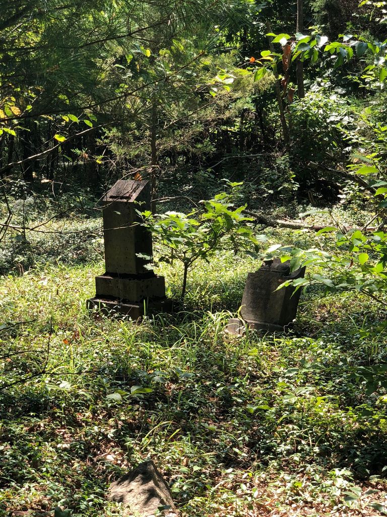
| Description | : | Small Cemetery located in the woods. Cemetery is not visible from the road, but accessible from the Eastern side of the woods. 57 recorded graves, several fieldstone graves as well as unmarked graves. Many headstones were stolen and only a few remain. Take HWY 66 S toward Cherokee High School. Turn left onto McKinney Chapel Rd just prior to the Hugh B. Day Bridge. Steele Road is the 4th Street on the left. Cemetery is in the woods at the top of the first hill on the right. |
frequently asked questions (FAQ):
-
Where is Cedar Grove Cemetery?
Cedar Grove Cemetery is located at Steele Road Austins Mill, Hawkins County ,Tennessee ,USA.
-
Cedar Grove Cemetery cemetery's updated grave count on graveviews.com?
0 memorials
-
Where are the coordinates of the Cedar Grove Cemetery?
Latitude: 36.3731500
Longitude: -83.0021060
Nearby Cemetories:
1. Davis Cemetery
Hawkins County, USA
Coordinate: 36.3722000, -83.0216980
2. Carmichael Cemetery
Hawkins County, USA
Coordinate: 36.3781013, -82.9792023
3. Chestnut Cemetery
Hawkins County, USA
Coordinate: 36.3725014, -83.0317001
4. First Baptist Church Cemetery
Hawkins County, USA
Coordinate: 36.4052530, -83.0070050
5. Cave Ridge Cemetery
Hawkins County, USA
Coordinate: 36.4006004, -82.9796982
6. Alexander Cemetery
Hawkins County, USA
Coordinate: 36.4086520, -83.0074010
7. Burdine Cemetery
Hawkins County, USA
Coordinate: 36.3866997, -83.0444031
8. Caldwell Cemetery
Hawkins County, USA
Coordinate: 36.3729400, -83.0480700
9. Coward Cemetery
Hawkins County, USA
Coordinate: 36.3683000, -83.0485000
10. Carmack Family Cemetery
Hawkins County, USA
Coordinate: 36.4075012, -82.9753036
11. Chestnut Cemetery
Hawkins County, USA
Coordinate: 36.3414001, -83.0353012
12. Brice Cemetery
Hawkins County, USA
Coordinate: 36.4124985, -82.9777985
13. Cope Cemetery
Hawkins County, USA
Coordinate: 36.3950005, -83.0597000
14. Otes United Methodist Church Cemetery
Bulls Gap, Hawkins County, USA
Coordinate: 36.3128100, -83.0151400
15. Burns Cemetery
Hawkins County, USA
Coordinate: 36.3499985, -82.9308014
16. Berry Cemetery
Bulls Gap, Hawkins County, USA
Coordinate: 36.3153000, -83.0408020
17. Couch Cemetery
Hawkins County, USA
Coordinate: 36.3025017, -83.0066986
18. Dotson Cemetery
Hawkins County, USA
Coordinate: 36.3011017, -83.0141983
19. Short Road Civil War Burial Site
Bulls Gap, Hawkins County, USA
Coordinate: 36.2997400, -82.9959200
20. Coward Cemetery
Hawkins County, USA
Coordinate: 36.2963982, -83.0124969
21. Walker Cemetery
Bulls Gap, Hawkins County, USA
Coordinate: 36.3155400, -83.0680560
22. Dalton Cemetery
Hawkins County, USA
Coordinate: 36.3936005, -83.0960999
23. Choptack Baptist Church Cemetery
Choptack, Hawkins County, USA
Coordinate: 36.4025310, -83.0929570
24. Ball-Tunnell Cemetery
Hawkins County, USA
Coordinate: 36.3532340, -82.9045660