
| Memorials | : | 1 |
| Location | : | Honey Grove, Fannin County, USA |
| Coordinate | : | 33.5906420, -95.9120710 |
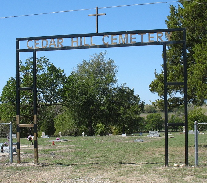
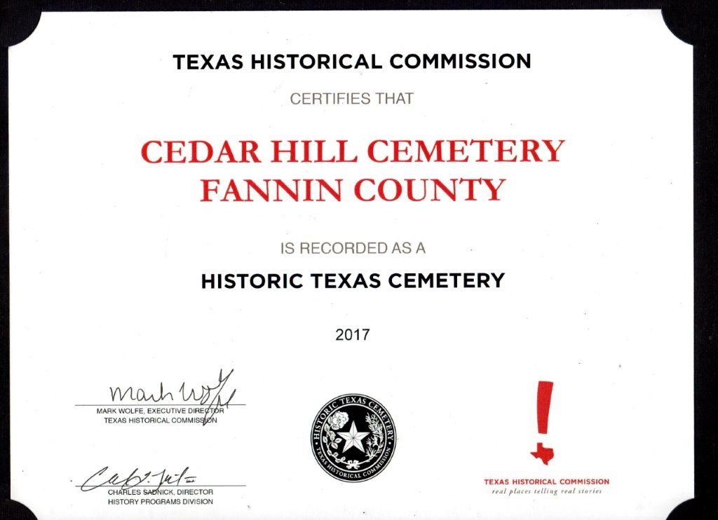
| Description | : | Cedar Hill Cemetery is directly across from the large Oakwood Cemetery on Hwy 100 in Honey Grove. Cedar Hill is a well kept historically African American cemetery with an active cemetery association. Early death certificates indicate that this cemetery was first called "Cedarwood". It is still unclear when the name was changed to Cedar Hill. Some Death Certificates also refer to the cemetery as "Rock Hill". Originally blacks who died Honey Grove were buried in a section of Oakwood that was set aside for black burials. There is a recorded burial of an African American, A. T. Smith, at... Read More |
frequently asked questions (FAQ):
-
Where is Cedar Hill Cemetery?
Cedar Hill Cemetery is located at Honey Grove, Fannin County ,Texas ,USA.
-
Cedar Hill Cemetery cemetery's updated grave count on graveviews.com?
1 memorials
-
Where are the coordinates of the Cedar Hill Cemetery?
Latitude: 33.5906420
Longitude: -95.9120710
Nearby Cemetories:
1. Oakwood Cemetery
Honey Grove, Fannin County, USA
Coordinate: 33.5909200, -95.9100270
2. Floyd Thicket Cemetery
Honey Grove, Fannin County, USA
Coordinate: 33.5444170, -95.9114830
3. Allens Point Cemetery
Allens Point, Fannin County, USA
Coordinate: 33.6451023, -95.9080989
4. Allen-Morgan Cemetery
Allens Point, Fannin County, USA
Coordinate: 33.6477500, -95.9310800
5. Allens Chapel Cemetery
Allens Point, Fannin County, USA
Coordinate: 33.6444016, -95.9456024
6. Cole Cemetery
Honey Grove, Fannin County, USA
Coordinate: 33.6532900, -95.9051340
7. McCraws Chapel Cemetery
Honey Grove, Fannin County, USA
Coordinate: 33.5261993, -95.9571991
8. Bain Cemetery
Allens Point, Fannin County, USA
Coordinate: 33.6426500, -95.9788850
9. Umble Cemetery
Fannin County, USA
Coordinate: 33.6436005, -96.0036011
10. Lee Family Cemetery
Fannin County, USA
Coordinate: 33.5916170, -96.0236330
11. Humble Cemetery
Fannin County, USA
Coordinate: 33.6435190, -96.0038860
12. Cravens Cemetery
Honey Grove, Fannin County, USA
Coordinate: 33.6533530, -95.9974440
13. Smith Cemetery
Fannin County, USA
Coordinate: 33.6371994, -96.0130997
14. Shiloh Cemetery
Selfs, Fannin County, USA
Coordinate: 33.6856003, -95.9428024
15. Gaunt Family Cemetery
Fannin County, USA
Coordinate: 33.6398670, -96.0148830
16. Dial Chiles Carter Cemetery
Bug Tussle, Fannin County, USA
Coordinate: 33.4929170, -95.8888170
17. Dial Cemetery
Dial, Fannin County, USA
Coordinate: 33.4969050, -95.8706500
18. Wright Family Cemetery
Selfs, Fannin County, USA
Coordinate: 33.6909000, -95.9259000
19. Onstott Cemetery
Fannin County, USA
Coordinate: 33.6227989, -96.0294037
20. Smyrna Cemetery
Dodd City, Fannin County, USA
Coordinate: 33.6119003, -96.0346985
21. Broyles Cemetery
Dial, Fannin County, USA
Coordinate: 33.4911003, -95.8668976
22. Saint Mark Cemetery
Dodd City, Fannin County, USA
Coordinate: 33.5733330, -96.0441000
23. Dodd City Cemetery
Dodd City, Fannin County, USA
Coordinate: 33.5738983, -96.0449982
24. New Salem Cemetery
Fannin County, USA
Coordinate: 33.7022018, -95.8993988