| Memorials | : | 77 |
| Location | : | Parksville, McCormick County, USA |
| Coordinate | : | 33.8103893, -82.1572955 |
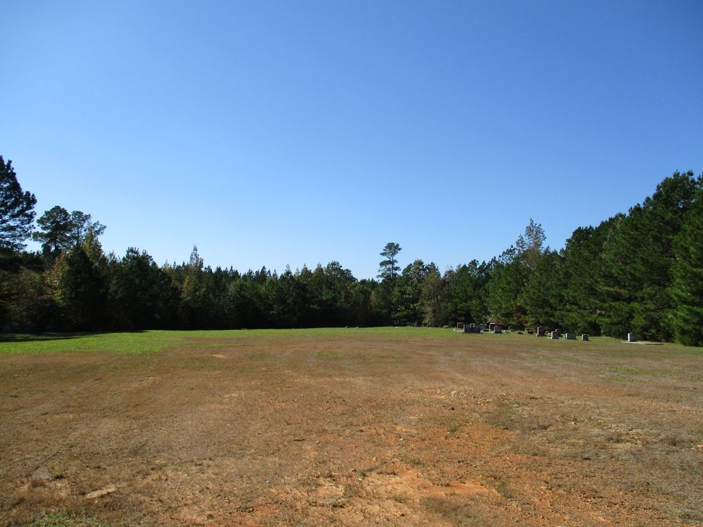
| Description | : | Small cleared plot cemetery on the grounds of a former church, now demolished, within the Sumter National Forest lying on the northwest side of Forest Service Road #618, also referred to as Cedar Springs Road on Google Maps, in McCormick County, South Carolina. |
frequently asked questions (FAQ):
-
Where is Cedar Springs Church Cemetery?
Cedar Springs Church Cemetery is located at Cedar Springs Rd, FS618 Parksville, McCormick County ,South Carolina ,USA.
-
Cedar Springs Church Cemetery cemetery's updated grave count on graveviews.com?
19 memorials
-
Where are the coordinates of the Cedar Springs Church Cemetery?
Latitude: 33.8103893
Longitude: -82.1572955
Nearby Cemetories:
1. Burkhalter - Gilchrist Family Cemetery
Plum Branch, McCormick County, USA
Coordinate: 33.8212970, -82.1537310
2. Key Cemetery
McCormick County, USA
Coordinate: 33.7926900, -82.1508500
3. Wood Family Cemetery
Edgefield, Edgefield County, USA
Coordinate: 33.8035000, -82.1273330
4. Calliham Cemetery
McCormick County, USA
Coordinate: 33.7825200, -82.1631400
5. McDaniel
Edgefield, Edgefield County, USA
Coordinate: 33.8003830, -82.1251000
6. Holmes Cemetery
Edgefield County, USA
Coordinate: 33.8060989, -82.1211014
7. Rehoboth Baptist Church Cemetery
Plum Branch, McCormick County, USA
Coordinate: 33.8410988, -82.1468964
8. Wine Creek Cemetery
McCormick County, USA
Coordinate: 33.8399600, -82.1380600
9. Lower Mount Moriah Baptist Church Cemetery
Plum Branch, McCormick County, USA
Coordinate: 33.8421670, -82.1432180
10. Summerall Cemetery
McCormick County, USA
Coordinate: 33.7818600, -82.1838100
11. Talbert Cemetery 2
McCormick County, USA
Coordinate: 33.8449700, -82.1761500
12. Glanton
Edgefield, Edgefield County, USA
Coordinate: 33.7795830, -82.1267500
13. Talbert Wam
McCormick County, USA
Coordinate: 33.8477500, -82.1830600
14. Shady Grove Cemetery
Edgefield, Edgefield County, USA
Coordinate: 33.7738830, -82.1241670
15. Cochran Church Cemetery
Edgefield County, USA
Coordinate: 33.8297200, -82.1049100
16. Cartledge - Cunningham Cemetery
Parksville, McCormick County, USA
Coordinate: 33.7905040, -82.2118820
17. Mount Lebanon Baptist Church Cemetery
Parksville, McCormick County, USA
Coordinate: 33.7800170, -82.2078940
18. Jennings Family Cemetery
McCormick County, USA
Coordinate: 33.7769930, -82.2060420
19. Callaham's Mill Church Cemetery
Parksville, McCormick County, USA
Coordinate: 33.7858940, -82.2171960
20. Parksville Cemetery
Parksville, McCormick County, USA
Coordinate: 33.7858009, -82.2172012
21. Cedar Spring Baptist Church Cemetery
McCormick County, USA
Coordinate: 33.8576820, -82.1934710
22. Parksville Baptist Church Cemetery
Parksville, McCormick County, USA
Coordinate: 33.7881012, -82.2192001
23. Tompkins Homestead Plantation Cemetery
Parksville, McCormick County, USA
Coordinate: 33.7711980, -82.2061010
24. Spencer-Cochran Cemetery
Edgefield County, USA
Coordinate: 33.8555984, -82.1130981

