
| Memorials | : | 10 |
| Location | : | Chapel, Howell County, USA |
| Coordinate | : | 36.9415016, -91.7610016 |
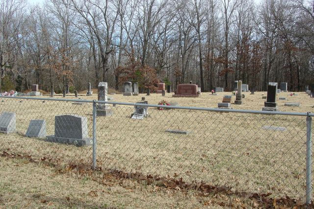
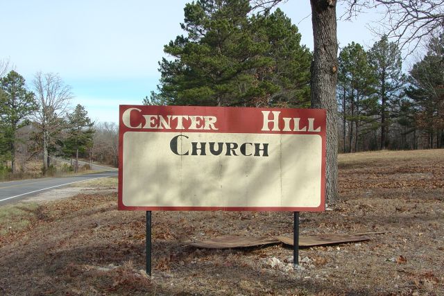
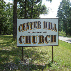
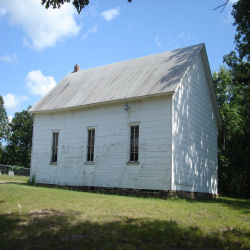
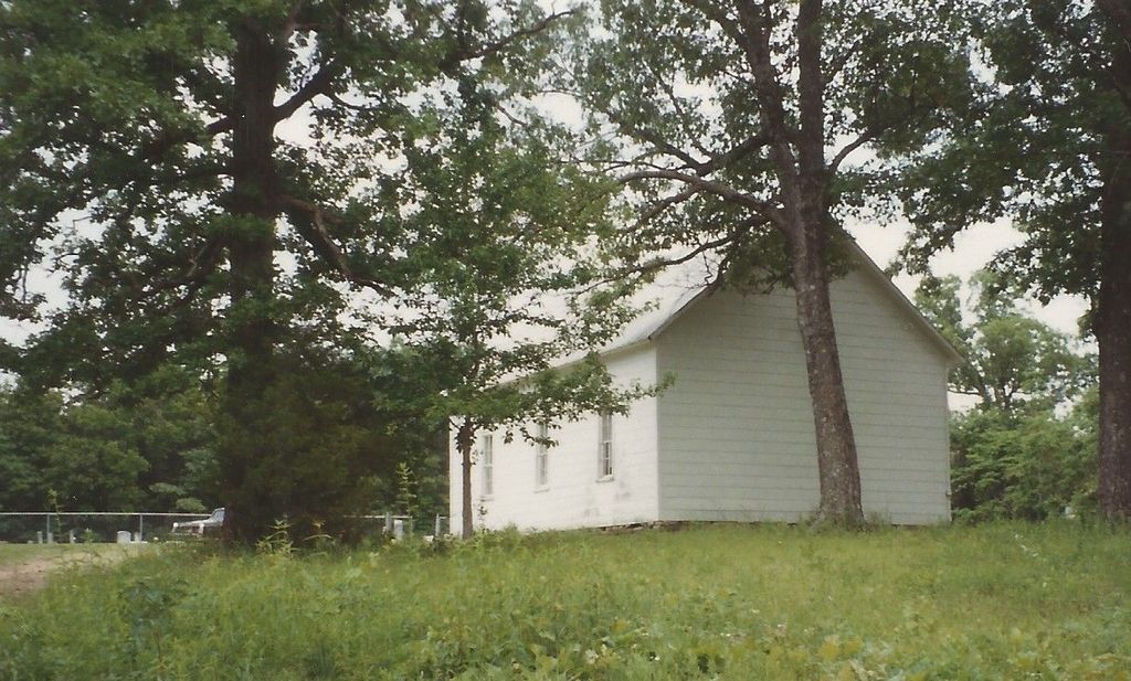
| Description | : | From Mountain View Mo., take Hwy. 17 South West from E. James St. 4.8 miles, cemetery is on the left behind Center Hill Church. Chapel Twp. Land for the Center Hill Church and Cemetery was donated by Marion Houston and Martha Jane (West) Bolerjack in 1883. They had already buried two children Alta and Charles Wesley on the land before the cemetery was created. |
frequently asked questions (FAQ):
-
Where is Center Hill Cemetery?
Center Hill Cemetery is located at Chapel, Howell County ,Missouri ,USA.
-
Center Hill Cemetery cemetery's updated grave count on graveviews.com?
10 memorials
-
Where are the coordinates of the Center Hill Cemetery?
Latitude: 36.9415016
Longitude: -91.7610016
Nearby Cemetories:
1. Forest Dell Ebenezer Cemetery
Mountain View, Howell County, USA
Coordinate: 36.9328003, -91.7403030
2. Walker Chapel Cemetery
Mountain View, Howell County, USA
Coordinate: 36.9647408, -91.7969513
3. Cantrell Cemetery
Hutton Valley, Howell County, USA
Coordinate: 36.9270300, -91.8112900
4. Padgett Cemetery
Mountain View, Howell County, USA
Coordinate: 36.9727173, -91.7155533
5. Chapel Hill Cemetery
Chapel, Howell County, USA
Coordinate: 36.9358290, -91.6826140
6. Grace Cemetery
Mountain View, Howell County, USA
Coordinate: 37.0075684, -91.7871323
7. Rowe Cemetery
Willow Springs, Howell County, USA
Coordinate: 36.9791985, -91.8396988
8. Bolin Cemetery
Hutton Valley, Howell County, USA
Coordinate: 36.9443100, -91.8530200
9. Saint John Vianney Catholic Cemetery
Mountain View, Howell County, USA
Coordinate: 37.0037498, -91.7072525
10. Mountain View Cemetery
Mountain View, Howell County, USA
Coordinate: 36.9972992, -91.6904984
11. Greenlawn Cemetery
Mountain View, Howell County, USA
Coordinate: 36.9975014, -91.6892014
12. Veterans Memorial Cemetery
Mountain View, Howell County, USA
Coordinate: 36.9975014, -91.6869965
13. Gill Cemetery
Mountain View, Howell County, USA
Coordinate: 37.0224991, -91.7500000
14. Lost Camp Cemetery
Pomona, Howell County, USA
Coordinate: 36.9105988, -91.8566971
15. New Salem Cemetery
Mountain View, Howell County, USA
Coordinate: 37.0278015, -91.7727966
16. Antioch Cemetery
Pomona, Howell County, USA
Coordinate: 36.8725200, -91.8307400
17. Saint Joseph Cemetery
White Church, Howell County, USA
Coordinate: 36.8517100, -91.7876100
18. Hutton Valley Cemetery
Willow Springs, Howell County, USA
Coordinate: 36.9637985, -91.8796997
19. New Hope Cemetery
Peace Valley, Howell County, USA
Coordinate: 36.8303337, -91.7540359
20. Mackey Cemetery
Pomona, Howell County, USA
Coordinate: 36.8659554, -91.8659134
21. Pleasant Grove Cemetery
Teresita, Shannon County, USA
Coordinate: 36.9742012, -91.6206970
22. Pilgrim Rest Cemetery
Teresita, Shannon County, USA
Coordinate: 37.0189018, -91.6485977
23. Moffitt Cemetery
Willow Springs, Howell County, USA
Coordinate: 36.9625015, -91.9111023
24. New Salem Cemetery
Teresita, Shannon County, USA
Coordinate: 36.9239006, -91.6027985