
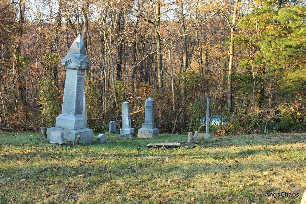
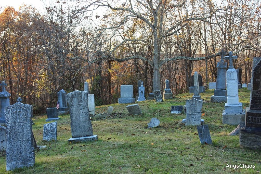
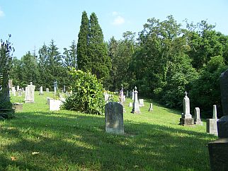
| Memorials | : | 12 |
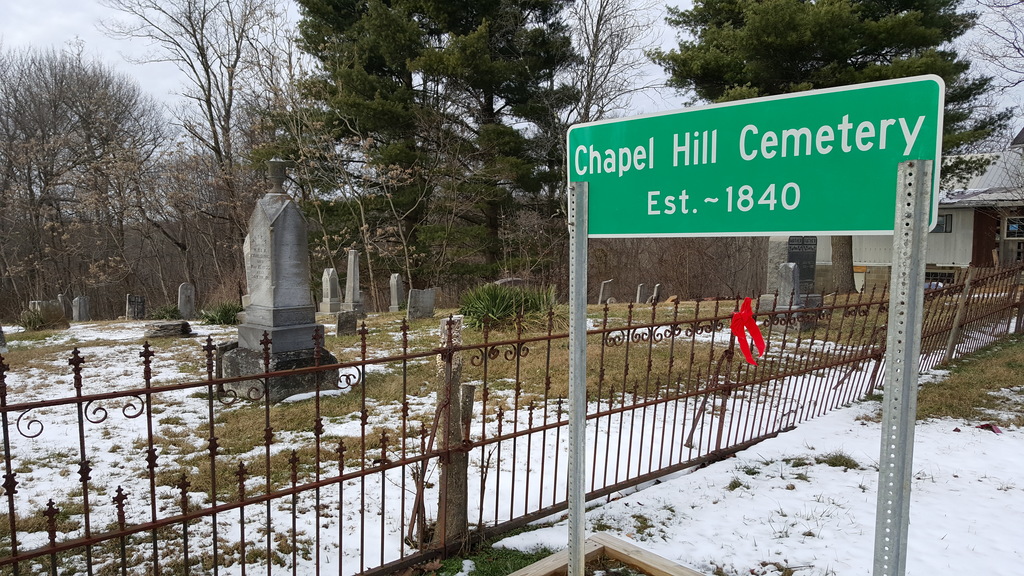
| Location | : | Chapel Hill, Perry County, USA |
| Coordinate | : | 39.6246200, -82.0538300 |
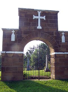
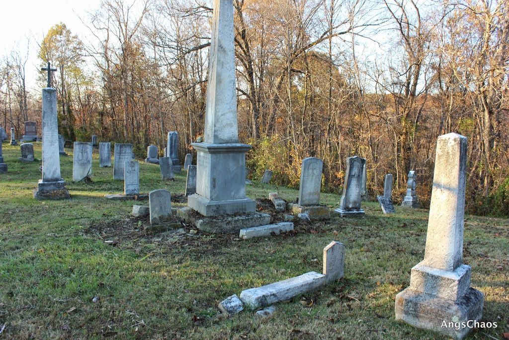
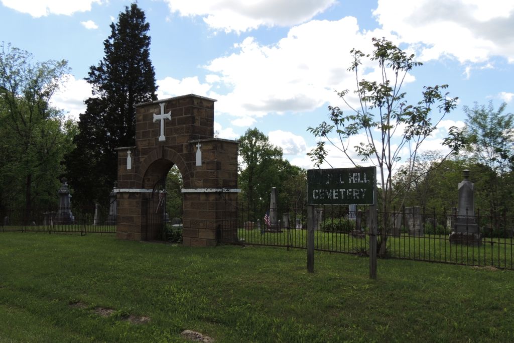
| Description | : | The cemetery is located on the west side of Irish Ridge Road SE about 0.3 miles north of its intersection with Chapel Hill Road SE (County Road 50). The cemetery is located in Monroe Township, Perry County, Ohio, and is # 9365 (Saint Francis Catholic Church Cemetery / Chapel Hill Cemetery / Catholic Cemetery) in “Ohio Cemeteries 1803-2003”, compiled by the Ohio Genealogical Society. The U.S. Geological Survey (USGS) Geographic Names Information System (GNIS) feature ID for the cemetery is 1963613 (Chapel Hill Cemetery / Saint Francis Catholic Cemetery). |
frequently asked questions (FAQ):
-
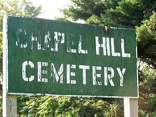
Where is Chapel Hill Cemetery?
Chapel Hill Cemetery is located at Irish Ridge Road SE (County Road 16) Chapel Hill, Perry County ,Ohio , 43730USA.
-
Chapel Hill Cemetery cemetery's updated grave count on graveviews.com?
11 memorials
-
Where are the coordinates of the Chapel Hill Cemetery?
Latitude: 39.6246200
Longitude: -82.0538300
Nearby Cemetories:
1. Mount Carmel Cemetery
Rendville, Perry County, USA
Coordinate: 39.6140500, -82.0778400
2. Rendville Cemetery
Perry County, USA
Coordinate: 39.6234000, -82.0904200
3. Saint Malachi Cemetery
Corning, Perry County, USA
Coordinate: 39.6023500, -82.0931500
4. Bethel Cemetery
Perry County, USA
Coordinate: 39.6692009, -82.0603027
5. Oakwood Cemetery
Millertown, Perry County, USA
Coordinate: 39.5970100, -82.1018100
6. Tinker Cemetery
Perry County, USA
Coordinate: 39.5758018, -82.0460968
7. Pleasant Grove United Methodist Church Cemetery
Oakfield, Perry County, USA
Coordinate: 39.6700700, -82.0840300
8. Devils Half Acre Cemetery
Malta, Morgan County, USA
Coordinate: 39.6209800, -81.9869300
9. Zion Cemetery
Portersville, Perry County, USA
Coordinate: 39.6775970, -82.0362854
10. Locust Grove Cemetery
Deerfield Township, Morgan County, USA
Coordinate: 39.6425018, -81.9858017
11. East Branch Cemetery
Unionville, Morgan County, USA
Coordinate: 39.5795100, -82.0098600
12. Monroe Cemetery
Monroe Township, Perry County, USA
Coordinate: 39.5956001, -82.1196976
13. Presbyterian Cemetery
Oakfield, Perry County, USA
Coordinate: 39.6585000, -82.1169000
14. White Cemetery
Deerfield Township, Morgan County, USA
Coordinate: 39.6652970, -81.9973110
15. First Baptist Church Cemetery
Oakfield, Perry County, USA
Coordinate: 39.6601070, -82.1160010
16. Harring Cemetery
Perry County, USA
Coordinate: 39.6847000, -82.0466995
17. Oakfield Cemetery
Oakfield, Perry County, USA
Coordinate: 39.6579500, -82.1192500
18. Stewart Cemetery
Perry County, USA
Coordinate: 39.5667280, -82.0787720
19. Stuart Cemetery
Perry County, USA
Coordinate: 39.5671997, -82.0836029
20. Ringgold Cemetery
Union Township, Morgan County, USA
Coordinate: 39.5946999, -81.9753036
21. Dew Cemetery
Corning, Perry County, USA
Coordinate: 39.5574989, -82.0639038
22. Asbury Cemetery
Drakes, Perry County, USA
Coordinate: 39.5778008, -82.1175003
23. Chappelear Cemetery
Union Township, Morgan County, USA
Coordinate: 39.5595700, -82.0227190
24. Fowler Cemetery
Perry County, USA
Coordinate: 39.6782990, -82.1243973