
| Memorials | : | 0 |
| Location | : | Monroe Township, Perry County, USA |
| Coordinate | : | 39.5956001, -82.1196976 |
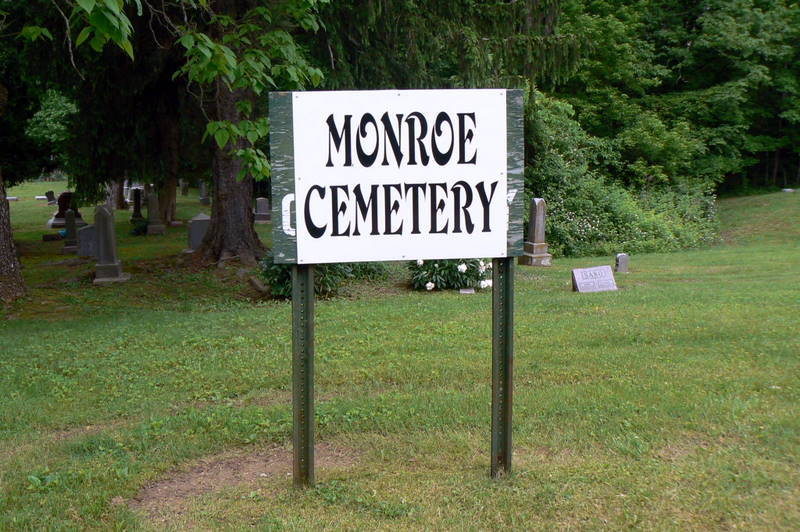
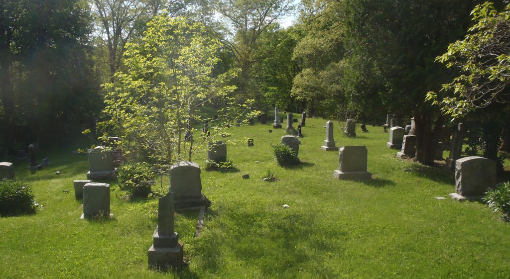
| Description | : | The cemetery is located on the west side of Township Highway 309 about 0.2 miles north of its intersection with Ohio State Route 155. The cemetery is located in Monroe Township, Perry County, Ohio, and is # 9366 (Drakes Cemetery / Monroe Cemetery #1 / Monroe Cemetery) in “Ohio Cemeteries 1803-2003”, compiled by the Ohio Genealogical Society. The U.S. Geological Survey (USGS) Geographic Names Information System (GNIS) feature ID for the cemetery is 1076421 (Monroe Cemetery / Drakes Cemetery). |
frequently asked questions (FAQ):
-
Where is Monroe Cemetery?
Monroe Cemetery is located at Town Highway 309 Monroe Township, Perry County ,Ohio , 43730USA.
-
Monroe Cemetery cemetery's updated grave count on graveviews.com?
0 memorials
-
Where are the coordinates of the Monroe Cemetery?
Latitude: 39.5956001
Longitude: -82.1196976
Nearby Cemetories:
1. Oakwood Cemetery
Millertown, Perry County, USA
Coordinate: 39.5970100, -82.1018100
2. Asbury Cemetery
Drakes, Perry County, USA
Coordinate: 39.5778008, -82.1175003
3. Saint Malachi Cemetery
Corning, Perry County, USA
Coordinate: 39.6023500, -82.0931500
4. Springer Cemetery
Hemlock, Perry County, USA
Coordinate: 39.6067009, -82.1572037
5. Beech Grove Church Cemetery
Shawnee, Perry County, USA
Coordinate: 39.5598400, -82.1198800
6. Rendville Cemetery
Perry County, USA
Coordinate: 39.6234000, -82.0904200
7. Mount Carmel Cemetery
Rendville, Perry County, USA
Coordinate: 39.6140500, -82.0778400
8. Stuart Cemetery
Perry County, USA
Coordinate: 39.5671997, -82.0836029
9. Stewart Cemetery
Perry County, USA
Coordinate: 39.5667280, -82.0787720
10. Dugan Cemetery
Hemlock, Perry County, USA
Coordinate: 39.5705986, -82.1660995
11. Walnut Grove Cemetery
Glouster, Athens County, USA
Coordinate: 39.5482590, -82.1321290
12. Manley Cemetery
Hemlock, Perry County, USA
Coordinate: 39.5957700, -82.1901200
13. Dew Cemetery
Corning, Perry County, USA
Coordinate: 39.5574989, -82.0639038
14. Chapel Hill Cemetery
Chapel Hill, Perry County, USA
Coordinate: 39.6246200, -82.0538300
15. Whippstown Cemetery
Whipstown, Perry County, USA
Coordinate: 39.6436800, -82.1629200
16. Tinker Cemetery
Perry County, USA
Coordinate: 39.5758018, -82.0460968
17. Oakfield Cemetery
Oakfield, Perry County, USA
Coordinate: 39.6579500, -82.1192500
18. Presbyterian Cemetery
Oakfield, Perry County, USA
Coordinate: 39.6585000, -82.1169000
19. First Baptist Church Cemetery
Oakfield, Perry County, USA
Coordinate: 39.6601070, -82.1160010
20. Salem Cemetery
Ward Township, Hocking County, USA
Coordinate: 39.5461006, -82.1735992
21. Davis Cemetery
Trimble Township, Athens County, USA
Coordinate: 39.5324320, -82.1008000
22. Ironpoint Cemetery
Perry County, USA
Coordinate: 39.6267014, -82.2027969
23. Pleasant Grove United Methodist Church Cemetery
Oakfield, Perry County, USA
Coordinate: 39.6700700, -82.0840300
24. South Fork Cemetery
Perry County, USA
Coordinate: 39.6692009, -82.1603012