| Memorials | : | 8 |
| Location | : | Bermuda |
| Coordinate | : | 32.3686200, -64.6669200 |
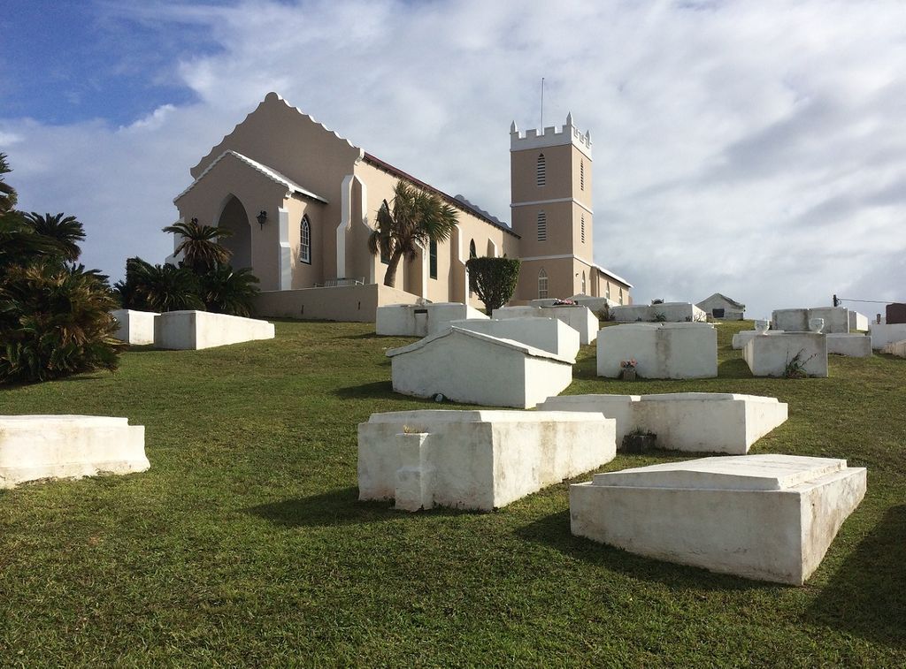
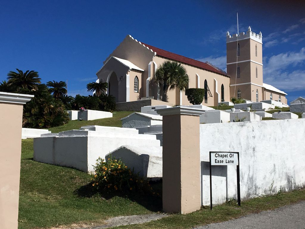
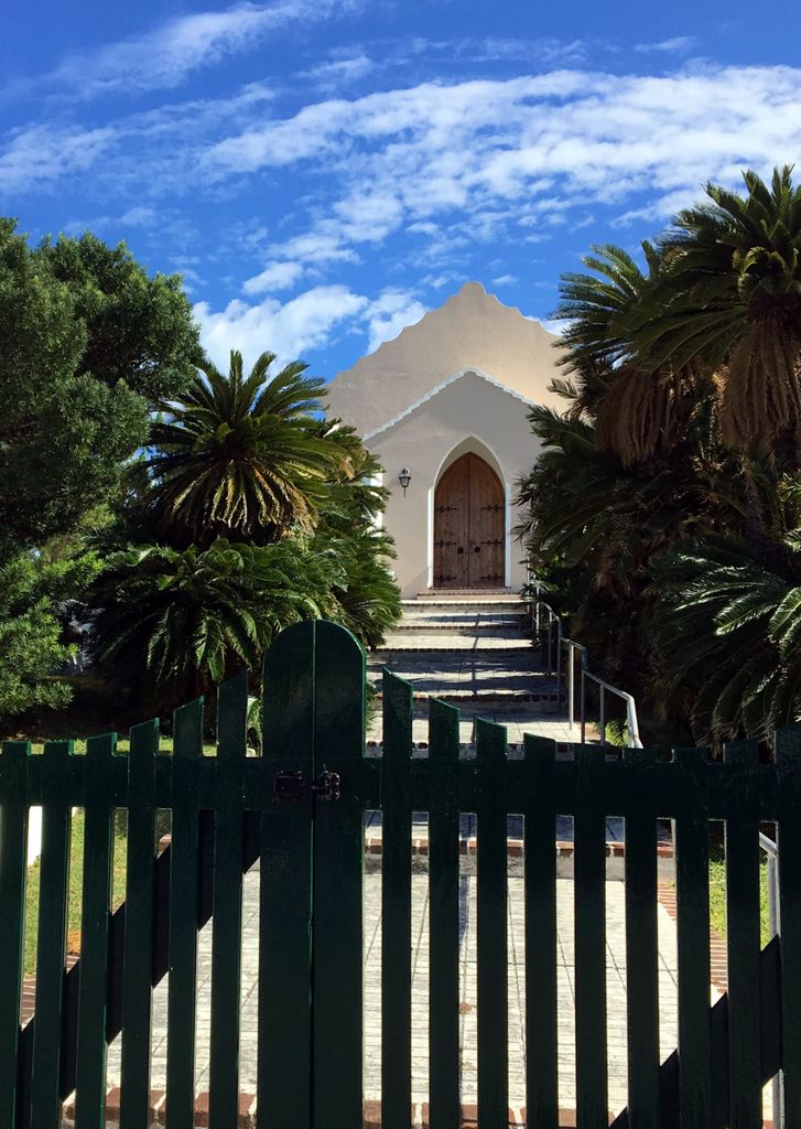
| Description | : | 441 297 1217 The Cemetery is located on Chapel of Ease Road on the eastern side of the island, on the main road to St David's Head. During the First World War, Bermuda was garrisoned successively by the 2nd Lincolns, the Royal Canadian Regiment, the 38th Bn. Canadian Infantry, the 163rd Bn. Canadian Infantry and the 2/4th East Yorkshire Regiment. The 3rd Bn. Jamaica War Contingent was there between March and May 1916. The Bermuda Volunteer Rifle Corps, Bermuda Militia and Garrison Artillery were pre-war auxiliary units raised on the island. Chapel of Ease Churchyard contains one Commonwealth burial of the First World... Read More |
frequently asked questions (FAQ):
-
Where is Chapel of Ease Anglican Church Cemetery?
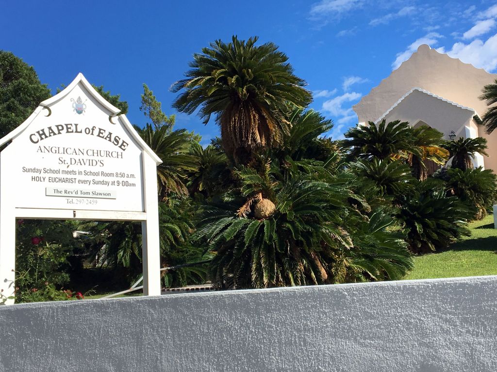
Chapel of Ease Anglican Church Cemetery is located at 20 Chapel of Ease RoadSt David'sSt George'sBermuda Saint George's Parish , DD 01Bermuda.
-
Chapel of Ease Anglican Church Cemetery cemetery's updated grave count on graveviews.com?
8 memorials
-
Where are the coordinates of the Chapel of Ease Anglican Church Cemetery?
Latitude: 32.3686200
Longitude: -64.6669200
Nearby Cemetories:
1. Hayward Family Burial Ground
Bermuda
Coordinate: 32.3688930, -64.6723130
2. Saint Peters Church Graveyard
Bermuda
Coordinate: 32.3817406, -64.6775894
3. Saint Georges Grenadier Lane Military Cemetery
Bermuda
Coordinate: 32.3861500, -64.6716200
4. Saint Georges Parish Anglican Cemetery
Bermuda
Coordinate: 32.3836100, -64.6816100
5. Saint Georges Secretary Lane Military Cemetery
Bermuda
Coordinate: 32.3838000, -64.6828900
6. Muslim Cemetery
Bermuda
Coordinate: 32.3676900, -64.7065100
7. Ferry Reach Military Cemetery
Bermuda
Coordinate: 32.3665640, -64.7122870
8. Marsden Church Cemetery
Bermuda
Coordinate: 32.3213500, -64.7125000
9. Saint Marks Church Cemetery
Bermuda
Coordinate: 32.3120900, -64.7329900
10. St. Monica's Anglican Church
Bermuda
Coordinate: 32.3044691, -64.7785920
11. Pembroke Parish Cemetery
Bermuda
Coordinate: 32.3006600, -64.7859000
12. Saint John the Evangelist Churchyard
Bermuda
Coordinate: 32.3006300, -64.7869600
13. Grace Methodist Church Cemetery
Bermuda
Coordinate: 32.3000700, -64.7904500
14. Saint Pauls Church Cemetery
Bermuda
Coordinate: 32.2832600, -64.7770300
15. Admiralty House Park Gravesite
Bermuda
Coordinate: 32.3068700, -64.8056100
16. Cobbs Hill Methodist Church Cemetery
Bermuda
Coordinate: 32.2758700, -64.7919500
17. Saint Mary the Virgin Church Cemetery
Bermuda
Coordinate: 32.2677100, -64.8057200
18. Ports Island
Bermuda
Coordinate: 32.2833290, -64.8209620
19. Military Cemetery Watford Island
Bermuda
Coordinate: 32.3058700, -64.8564400
20. Saint Annes Church Cemetery
Bermuda
Coordinate: 32.2494600, -64.8449200
21. Saint Josephs Roman Catholic Church Cemetery
Bermuda
Coordinate: 32.2726600, -64.8751100
22. Emmanuel Methodist Church Cemetery
Bermuda
Coordinate: 32.2585580, -64.8658130
23. Cementerio de Beravevú
Berabevú, Departamento de Caseros, Argentina
Coordinate: 33.3203960, -61.8909740
24. Cementerio viejo de Concordia
Concordia, Departamento de Concordia, Argentina
Coordinate: 31.3889330, -58.0299330


