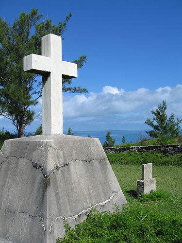
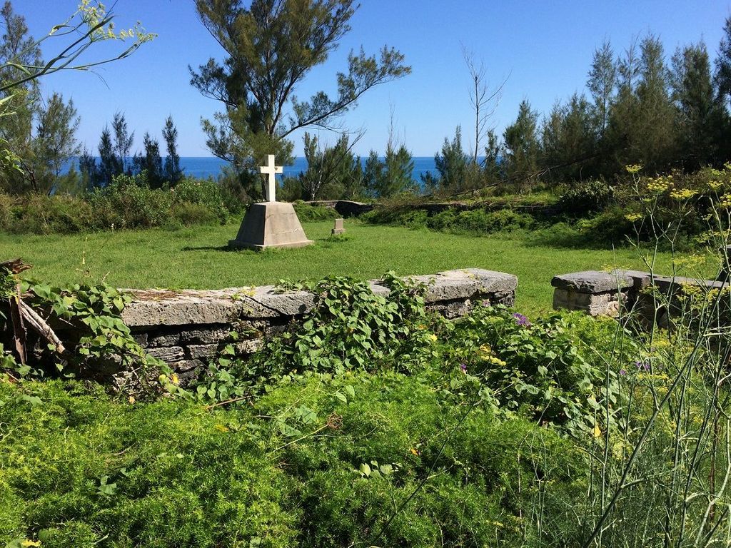
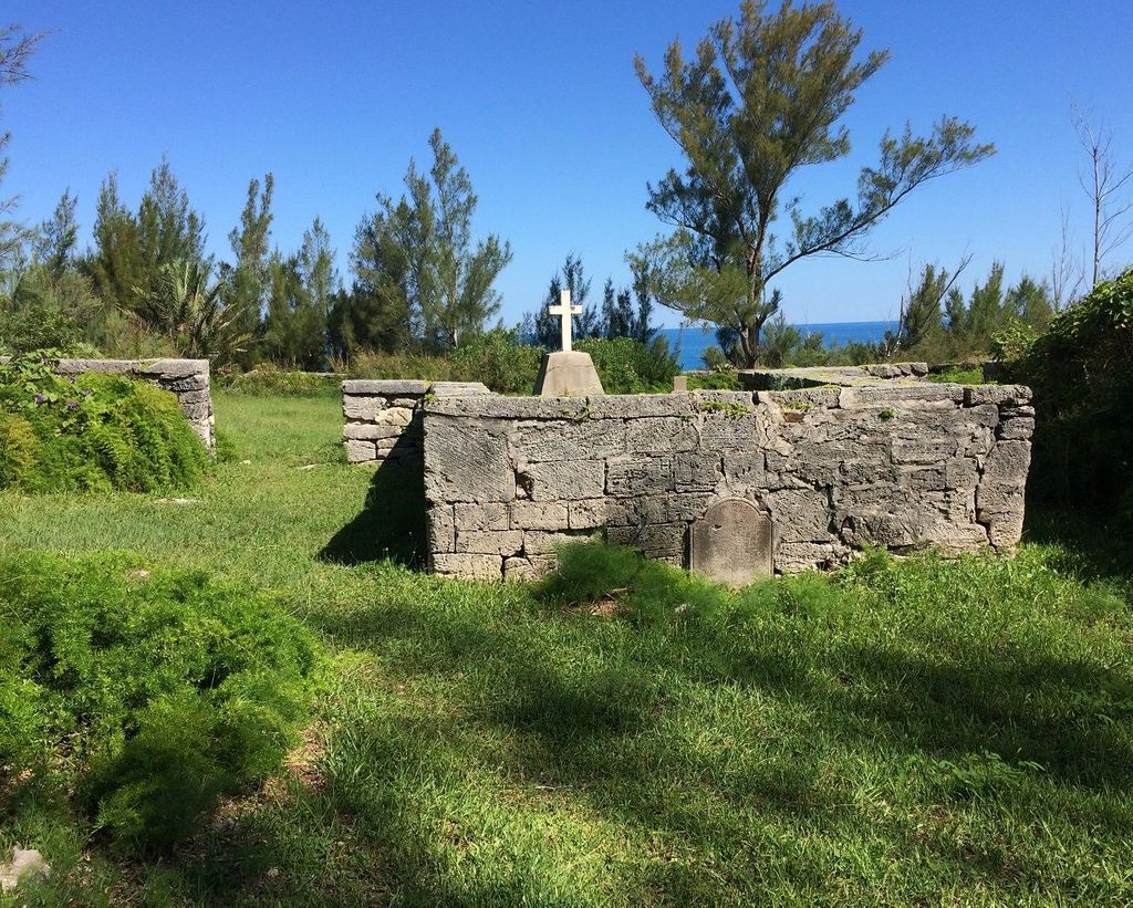
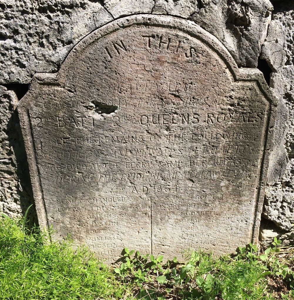
| Memorials | : | 2 |
| Location | : | Bermuda |
| Coordinate | : | 32.3665640, -64.7122870 |
| Description | : | There are two British military cemeteries at Ferry Reach with graves from the yellow fever epidemic in the 1860s. The first is the small walled cemetery close to the house at the end of Ferry Point and the second can be found just off the Railway Trail overlooking the North Shore to the east of Whalebone Bay. This is a walled communal grave with a central cross memorial to those from the 2nd Battalion of the Queen's Royal Rifles who died of yellow fever. Location: Ferry Reach Park Phone: (441) 236-6483 Bus Routes: 1, 3, 10, 11 Admission is free |
frequently asked questions (FAQ):
-
Where is Ferry Reach Military Cemetery?
Ferry Reach Military Cemetery is located at Saint George's Parish ,Bermuda.
-
Ferry Reach Military Cemetery cemetery's updated grave count on graveviews.com?
2 memorials
-
Where are the coordinates of the Ferry Reach Military Cemetery?
Latitude: 32.3665640
Longitude: -64.7122870
Nearby Cemetories:
1. Muslim Cemetery
Bermuda
Coordinate: 32.3676900, -64.7065100
2. Saint Georges Secretary Lane Military Cemetery
Bermuda
Coordinate: 32.3838000, -64.6828900
3. Saint Georges Parish Anglican Cemetery
Bermuda
Coordinate: 32.3836100, -64.6816100
4. Saint Peters Church Graveyard
Bermuda
Coordinate: 32.3817406, -64.6775894
5. Hayward Family Burial Ground
Bermuda
Coordinate: 32.3688930, -64.6723130
6. Chapel of Ease Anglican Church Cemetery
Bermuda
Coordinate: 32.3686200, -64.6669200
7. Saint Georges Grenadier Lane Military Cemetery
Bermuda
Coordinate: 32.3861500, -64.6716200
8. Marsden Church Cemetery
Bermuda
Coordinate: 32.3213500, -64.7125000
9. Saint Marks Church Cemetery
Bermuda
Coordinate: 32.3120900, -64.7329900
10. St. Monica's Anglican Church
Bermuda
Coordinate: 32.3044691, -64.7785920
11. Pembroke Parish Cemetery
Bermuda
Coordinate: 32.3006600, -64.7859000
12. Saint John the Evangelist Churchyard
Bermuda
Coordinate: 32.3006300, -64.7869600
13. Grace Methodist Church Cemetery
Bermuda
Coordinate: 32.3000700, -64.7904500
14. Admiralty House Park Gravesite
Bermuda
Coordinate: 32.3068700, -64.8056100
15. Saint Pauls Church Cemetery
Bermuda
Coordinate: 32.2832600, -64.7770300
16. Cobbs Hill Methodist Church Cemetery
Bermuda
Coordinate: 32.2758700, -64.7919500
17. Ports Island
Bermuda
Coordinate: 32.2833290, -64.8209620
18. Saint Mary the Virgin Church Cemetery
Bermuda
Coordinate: 32.2677100, -64.8057200
19. Military Cemetery Watford Island
Bermuda
Coordinate: 32.3058700, -64.8564400
20. Saint Annes Church Cemetery
Bermuda
Coordinate: 32.2494600, -64.8449200
21. Saint Josephs Roman Catholic Church Cemetery
Bermuda
Coordinate: 32.2726600, -64.8751100
22. Emmanuel Methodist Church Cemetery
Bermuda
Coordinate: 32.2585580, -64.8658130
23. Cementerio de Beravevú
Berabevú, Departamento de Caseros, Argentina
Coordinate: 33.3203960, -61.8909740
24. Cementerio viejo de Concordia
Concordia, Departamento de Concordia, Argentina
Coordinate: 31.3889330, -58.0299330


