
| Memorials | : | 1 |
| Location | : | Suttons, Williamsburg County, USA |
| Coordinate | : | 33.4032400, -79.7638160 |
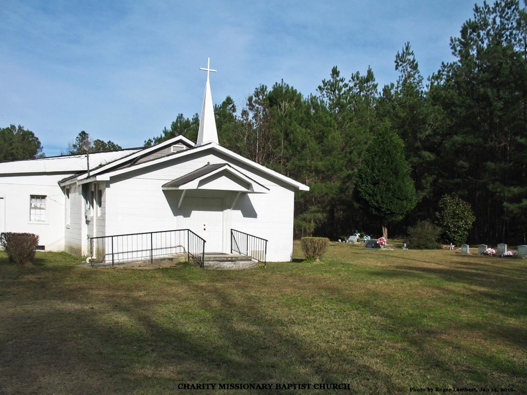
| Description | : | The church and the cemetery are 7.7 miles from the eastern end of Santee Road, which begins at a "T" intersection with US Highway 17A / South Carolina Highway 41. They are 2.4 miles west of Nazareth AME Church and 0.5 mile east of Suttons United Methodist Church. Dates on grave markers in Charity are relatively recent. No marker approaches the ages of early burials in Nazareth. |
frequently asked questions (FAQ):
-
Where is Charity Missionary Baptist Church Cemetery?
Charity Missionary Baptist Church Cemetery is located at 2992 Santee Road, Andrews, SC Suttons, Williamsburg County ,South Carolina , 29510USA.
-
Charity Missionary Baptist Church Cemetery cemetery's updated grave count on graveviews.com?
1 memorials
-
Where are the coordinates of the Charity Missionary Baptist Church Cemetery?
Latitude: 33.4032400
Longitude: -79.7638160

Nearby Cemetories:
1. Ridgeway Cemetery
Suttons, Williamsburg County, USA
Coordinate: 33.4010440, -79.7580890
2. Suttons United Methodist Church Cemetery
Suttons, Williamsburg County, USA
Coordinate: 33.4061012, -79.7707977
3. Near Wee Tee Lake
Suttons, Williamsburg County, USA
Coordinate: 33.3969220, -79.7775360
4. Bray Family Cemetery
Suttons, Williamsburg County, USA
Coordinate: 33.4283170, -79.7496280
5. Stephen Wilson Family Cemetery
Suttons, Williamsburg County, USA
Coordinate: 33.3790890, -79.7449540
6. Nazareth AME Church Cemetery
Suttons, Williamsburg County, USA
Coordinate: 33.3855280, -79.7303420
7. Greater Jerusalem AME Church Cemetery
Lane, Williamsburg County, USA
Coordinate: 33.4366440, -79.8104310
8. Union Baptist
Andrews, Georgetown County, USA
Coordinate: 33.4223960, -79.7039140
9. New Beginning Cemetery
Lane, Williamsburg County, USA
Coordinate: 33.4386840, -79.8119300
10. Bethlehem Baptist Church Cemetery
Alvin, Berkeley County, USA
Coordinate: 33.3624430, -79.8260570
11. Edens Eagerton Cemetery
Berkeley County, USA
Coordinate: 33.3525009, -79.8193970
12. Spring Pond P.H. Church Cemetery
Andrews, Williamsburg County, USA
Coordinate: 33.4385000, -79.6907900
13. Pine Tree Plantation Cemetery
Alvin, Berkeley County, USA
Coordinate: 33.3374120, -79.7980790
14. Twin Pines Church of God Cemetery
Andrews, Williamsburg County, USA
Coordinate: 33.4397200, -79.6872300
15. Church of God of Prophecy Cemetery
Andrews, Williamsburg County, USA
Coordinate: 33.4397210, -79.6872270
16. Berkeley Grove Episcopal Methodist Church Cemetery
Alvin, Berkeley County, USA
Coordinate: 33.3626320, -79.8375540
17. Betaw Plantation Cemetery
Berkeley County, USA
Coordinate: 33.3866997, -79.8542023
18. Gordon Cemetery
Suttons, Williamsburg County, USA
Coordinate: 33.3534190, -79.6923460
19. Holly Hill Christian Church Cemetery
Alvin, Berkeley County, USA
Coordinate: 33.3276380, -79.7958320
20. Emmanuel R.E. Cemetery
Alvin, Berkeley County, USA
Coordinate: 33.3238340, -79.7905210
21. Cantey Family Cemetery
Saint Stephen, Berkeley County, USA
Coordinate: 33.4006300, -79.8702900
22. Broughton Memorial Gardens
Trio, Williamsburg County, USA
Coordinate: 33.4829480, -79.7114830
23. Doctor Pond Baptist Cemetery
Saint Stephen, Berkeley County, USA
Coordinate: 33.3886140, -79.8753640
24. Saint John A.M.E. Cemetery
Trio, Williamsburg County, USA
Coordinate: 33.4936400, -79.7160900