| Memorials | : | 9 |
| Location | : | Suttons, Williamsburg County, USA |
| Coordinate | : | 33.3855280, -79.7303420 |
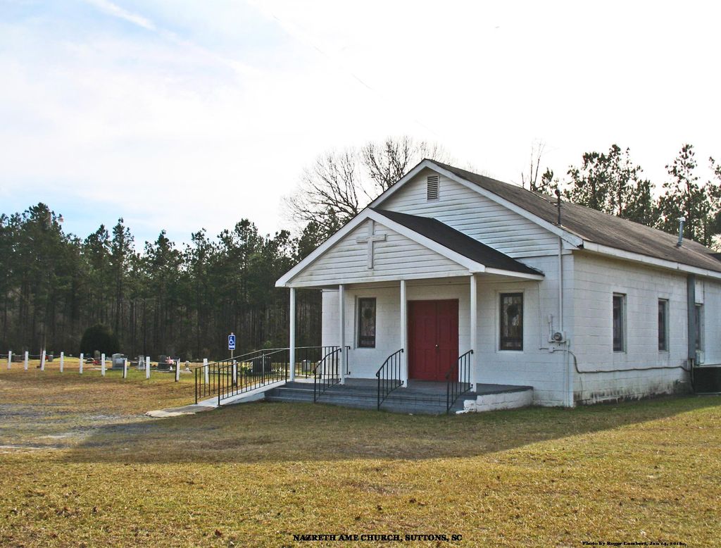
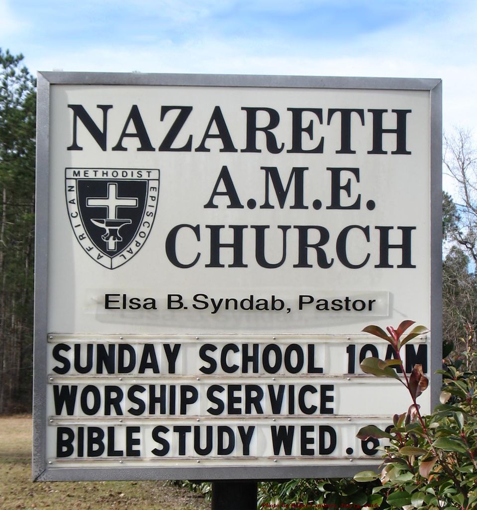
| Description | : | Nazareth AME Church and Cemetery are beside Santee Road, 5.3 miles west of its eastern end, a "T" junction with US Highway 17A / SC Highway 41. They are 2.9 miles east of Suttons United Methodist Church, 3168 Santee Road. Frequently, especially in obituaries, this church and cemetery are said to be in Lane or Andrews. The rural Suttons community is near Lane and is served by the Andrews Post Office. Hence the confusion. Of 31 churches in the AME 7th District, only two are named Nazareth, one in Georgetown County and one in Williamsburg County: 1. Nazareth AME, 7817... Read More |
frequently asked questions (FAQ):
-
Where is Nazareth AME Church Cemetery?
Nazareth AME Church Cemetery is located at 2073 Santee Road, Andrews, SC Suttons, Williamsburg County ,South Carolina , 29510USA.
-
Nazareth AME Church Cemetery cemetery's updated grave count on graveviews.com?
9 memorials
-
Where are the coordinates of the Nazareth AME Church Cemetery?
Latitude: 33.3855280
Longitude: -79.7303420
Nearby Cemetories:
1. Stephen Wilson Family Cemetery
Suttons, Williamsburg County, USA
Coordinate: 33.3790890, -79.7449540
2. Ridgeway Cemetery
Suttons, Williamsburg County, USA
Coordinate: 33.4010440, -79.7580890
3. Charity Missionary Baptist Church Cemetery
Suttons, Williamsburg County, USA
Coordinate: 33.4032400, -79.7638160
4. Suttons United Methodist Church Cemetery
Suttons, Williamsburg County, USA
Coordinate: 33.4061012, -79.7707977
5. Near Wee Tee Lake
Suttons, Williamsburg County, USA
Coordinate: 33.3969220, -79.7775360
6. Union Baptist
Andrews, Georgetown County, USA
Coordinate: 33.4223960, -79.7039140
7. Gordon Cemetery
Suttons, Williamsburg County, USA
Coordinate: 33.3534190, -79.6923460
8. Bray Family Cemetery
Suttons, Williamsburg County, USA
Coordinate: 33.4283170, -79.7496280
9. Spring Pond P.H. Church Cemetery
Andrews, Williamsburg County, USA
Coordinate: 33.4385000, -79.6907900
10. Twin Pines Church of God Cemetery
Andrews, Williamsburg County, USA
Coordinate: 33.4397200, -79.6872300
11. Church of God of Prophecy Cemetery
Andrews, Williamsburg County, USA
Coordinate: 33.4397210, -79.6872270
12. Brown's Chapel Baptist Church Cemetery
Georgetown County, USA
Coordinate: 33.3487000, -79.6632770
13. Gourdines Chapel Cemetery
Oceda, Georgetown County, USA
Coordinate: 33.3606200, -79.6529200
14. Ward Family Cemetery
Georgetown County, USA
Coordinate: 33.3614190, -79.6518970
15. Pine Tree Plantation Cemetery
Alvin, Berkeley County, USA
Coordinate: 33.3374120, -79.7980790
16. Saint Marys Cemetery
Oceda, Georgetown County, USA
Coordinate: 33.3573800, -79.6473280
17. Emmanuel R.E. Cemetery
Alvin, Berkeley County, USA
Coordinate: 33.3238340, -79.7905210
18. Holly Hill Christian Church Cemetery
Alvin, Berkeley County, USA
Coordinate: 33.3276380, -79.7958320
19. Edens Eagerton Cemetery
Berkeley County, USA
Coordinate: 33.3525009, -79.8193970
20. Bethlehem Baptist Church Cemetery
Alvin, Berkeley County, USA
Coordinate: 33.3624430, -79.8260570
21. Greater Jerusalem AME Church Cemetery
Lane, Williamsburg County, USA
Coordinate: 33.4366440, -79.8104310
22. Oak Ridge Memorial Cemetery
Williamsburg County, USA
Coordinate: 33.4089012, -79.6307983
23. New Beginning Cemetery
Lane, Williamsburg County, USA
Coordinate: 33.4386840, -79.8119300
24. Savannah Creek Cemetery
Jamestown, Berkeley County, USA
Coordinate: 33.3039630, -79.7698990


