| Memorials | : | 0 |
| Location | : | Elkins, Randolph County, USA |
| Coordinate | : | 38.8792590, -79.8357770 |
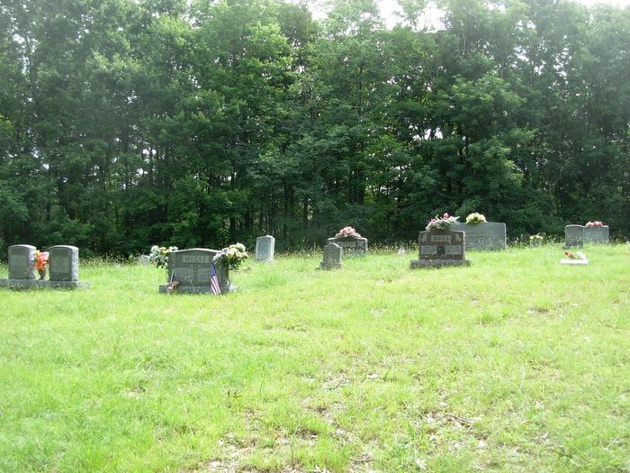
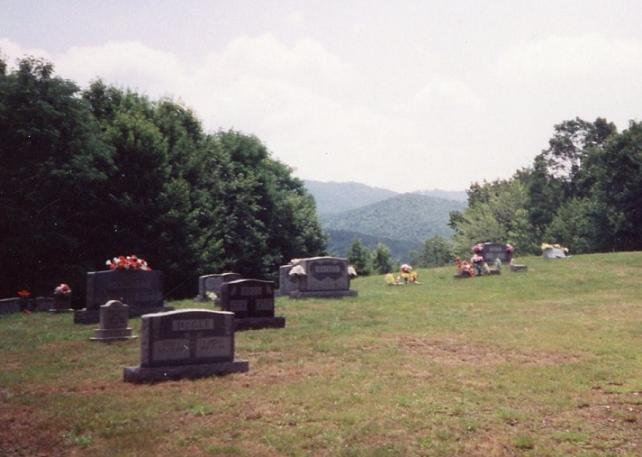
| Description | : | This Cemetery is on the land that Jacob Chenoweth owned, three miles south of Elkins on just off Elliot's Ridge Road. Jacob's wife Caroline was the first buried there in 1917. Directions: Directions: From Elkins, go south on four lane, us 219/250, approx. 3 miles. Turn left on Elliots Ridge Road. Go .4 miles. Turn left on gravel road up the hill to the cemetery. |
frequently asked questions (FAQ):
-
Where is Chenoweth Hill Cemetery?
Chenoweth Hill Cemetery is located at Elkins, Randolph County ,West Virginia ,USA.
-
Chenoweth Hill Cemetery cemetery's updated grave count on graveviews.com?
0 memorials
-
Where are the coordinates of the Chenoweth Hill Cemetery?
Latitude: 38.8792590
Longitude: -79.8357770
Nearby Cemetories:
1. Elkins Memorial Gardens
Elkins, Randolph County, USA
Coordinate: 38.8838997, -79.8469009
2. Saint Brendan Catholic Cemetery
Elkins, Randolph County, USA
Coordinate: 38.9002991, -79.8442001
3. Arnolds Hill Baptist Church Cemetery
Elkins, Randolph County, USA
Coordinate: 38.8863000, -79.8635000
4. Hazelwood Cemetery
Elkins, Randolph County, USA
Coordinate: 38.8597641, -79.8577118
5. Ward Family Cemetery
Elkins, Randolph County, USA
Coordinate: 38.8956814, -79.8634269
6. Waybright Cemetery #05
Franklin, Pendleton County, USA
Coordinate: 38.8646300, -79.7964600
7. Harper Cemetery
Pendleton County, USA
Coordinate: 38.8646300, -79.7964600
8. Park Cemetery
Beverly, Randolph County, USA
Coordinate: 38.8407560, -79.8369520
9. Mount Iser Confederate Cemetery
Beverly, Randolph County, USA
Coordinate: 38.8444500, -79.8666600
10. Thomas Phillips Farm Cemetery
Beverly, Randolph County, USA
Coordinate: 38.8543472, -79.8824921
11. Beverly Cemetery
Beverly, Randolph County, USA
Coordinate: 38.8455200, -79.8726807
12. Butcher Family Cemetery
Beverly, Randolph County, USA
Coordinate: 38.8419500, -79.8672600
13. Kelly Mountain Cemetery
Elkins, Randolph County, USA
Coordinate: 38.9013930, -79.7789460
14. Bell Family Cemetery
Randolph County, USA
Coordinate: 38.8981480, -79.7708890
15. Old Catholic Cemetery
Elkins, Randolph County, USA
Coordinate: 38.9335117, -79.8391259
16. Hinkle Cemetery
Elkins, Randolph County, USA
Coordinate: 38.9317890, -79.8574520
17. Mount Vernon Cemetery
Randolph County, USA
Coordinate: 38.8213300, -79.8482900
18. John M Stalnaker Cemetery
Beverly, Randolph County, USA
Coordinate: 38.8245470, -79.8731770
19. Maplewood Cemetery
Elkins, Randolph County, USA
Coordinate: 38.9417000, -79.8510971
20. Trinity Cemetery
Beverly, Randolph County, USA
Coordinate: 38.8329440, -79.8920230
21. Little Arlington Cemetery
Elkins, Randolph County, USA
Coordinate: 38.9482994, -79.8308029
22. Mouse Cemetery
Elkins, Randolph County, USA
Coordinate: 38.9488370, -79.8299000
23. Old Stalnaker Family Cemetery
Randolph County, USA
Coordinate: 38.8143083, -79.8767627
24. Shrader Cemetery #1
Franklin, Pendleton County, USA
Coordinate: 38.8235000, -79.7740500


