
| Memorials | : | 0 |
| Location | : | Mullikin Junction, Livingston County, USA |
| Coordinate | : | 37.2239000, -88.3351700 |
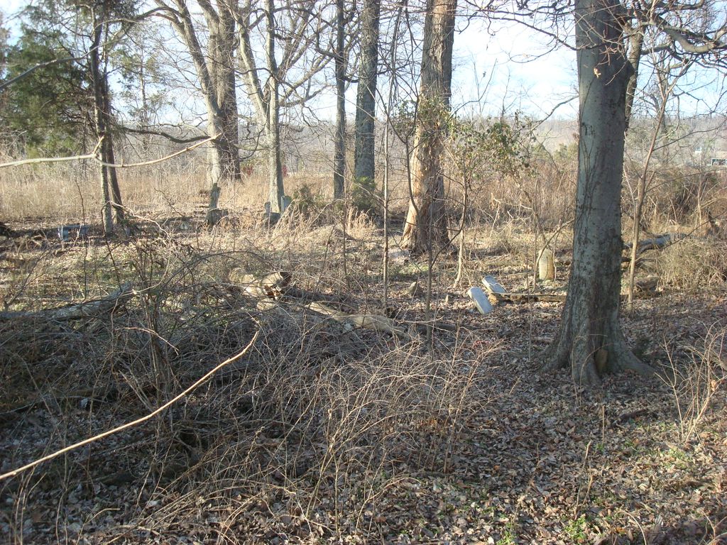
| Description | : | Located near Mullikan on the farm of Mrs. Preston Peck. Copied by Bethel Lytton & Mary Lou Smith. Mr. Elton Edwards says the name derived from a huge cherry tree that grew there. Source: Livingston County Cemeteries 1738-1976 dated 1977. |
frequently asked questions (FAQ):
-
Where is Cherry Tree Cemetery?
Cherry Tree Cemetery is located at Mullikin Junction, Livingston County ,Kentucky ,USA.
-
Cherry Tree Cemetery cemetery's updated grave count on graveviews.com?
0 memorials
-
Where are the coordinates of the Cherry Tree Cemetery?
Latitude: 37.2239000
Longitude: -88.3351700
Nearby Cemetories:
1. Edwards Cemetery
Mullikin Junction, Livingston County, USA
Coordinate: 37.2334100, -88.3319600
2. Donakey Cemetery #1
Mullikin Junction, Livingston County, USA
Coordinate: 37.2268560, -88.3209750
3. Moss-Ramage Cemetery
Burna, Livingston County, USA
Coordinate: 37.2156350, -88.3523880
4. Bailey Cemetery
Burna, Livingston County, USA
Coordinate: 37.2397232, -88.3249969
5. Phillips Cemetery
Livingston County, USA
Coordinate: 37.2296982, -88.3602982
6. Abe B. Peck Cemetery
Mullikin Junction, Livingston County, USA
Coordinate: 37.2350006, -88.3116989
7. Wiggins Cemetery
Salem, Livingston County, USA
Coordinate: 37.2072110, -88.3075710
8. Champion Cemetery #1
Burna, Livingston County, USA
Coordinate: 37.2471890, -88.3539820
9. Parker Cemetery #1
Salem, Livingston County, USA
Coordinate: 37.2216800, -88.2982800
10. Lemen Cemetery
Lemen Landing, Livingston County, USA
Coordinate: 37.1927986, -88.3458023
11. Ray Cemetery
Salem, Livingston County, USA
Coordinate: 37.2489830, -88.3075050
12. Cedar Grove Cemetery
Livingston County, USA
Coordinate: 37.2241800, -88.2930000
13. Alsobrook Cemetery
Salem, Livingston County, USA
Coordinate: 37.2502785, -88.3071823
14. Riddle Cemetery
Salem, Livingston County, USA
Coordinate: 37.2501950, -88.3070540
15. Threlkeld Cemetery #1
Burna, Livingston County, USA
Coordinate: 37.2577490, -88.3438600
16. Crowley-Robinson Cemetery
Burna, Livingston County, USA
Coordinate: 37.2266056, -88.3792944
17. Rappolee Cemetery
Livingston County, USA
Coordinate: 37.2051940, -88.3736660
18. Eph Hardin Cemetery
Salem, Livingston County, USA
Coordinate: 37.2232700, -88.2889600
19. Deason-Cochran Cemetery
Vicksburg, Livingston County, USA
Coordinate: 37.1871986, -88.3403015
20. Green-Johnson Cemetery
Livingston County, USA
Coordinate: 37.1866989, -88.3330994
21. Dyer Hill Baptist Church Cemetery
Livingston County, USA
Coordinate: 37.2135200, -88.3826900
22. Duley-Hofman Cemetery
Burna, Livingston County, USA
Coordinate: 37.2572800, -88.3625200
23. Moxley Cemetery
Moxley Landing, Livingston County, USA
Coordinate: 37.1927800, -88.3025800
24. Fleming Cemetery
Burna, Livingston County, USA
Coordinate: 37.2646000, -88.3440000