| Memorials | : | 0 |
| Location | : | Salem, Livingston County, USA |
| Coordinate | : | 37.2232700, -88.2889600 |
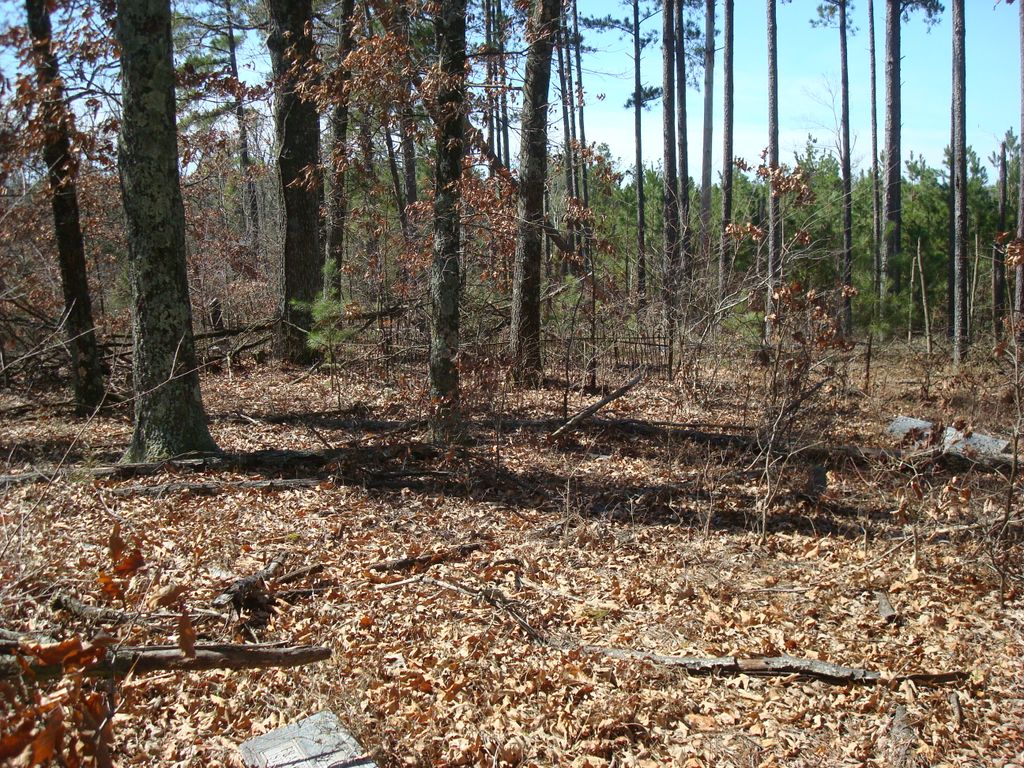
| Description | : | Located on the former Eph Hardin farm now owed by Burnice Dailey. From Salem take hwy. 723S to hwy. 1433, turn right. Cemetery is on the left side of road near Cedar Grove Church. Look for road leading past an old chimney. It is in field to your right of this lane. Copied by Jeanette Wall. Source: Livingston County Cemeteries 1738-1976 dated 1977. |
frequently asked questions (FAQ):
-
Where is Eph Hardin Cemetery?
Eph Hardin Cemetery is located at Hwy. 1433 near Cedar Grove Church. Salem, Livingston County ,Kentucky ,USA.
-
Eph Hardin Cemetery cemetery's updated grave count on graveviews.com?
0 memorials
-
Where are the coordinates of the Eph Hardin Cemetery?
Latitude: 37.2232700
Longitude: -88.2889600
Nearby Cemetories:
1. Cedar Grove Cemetery
Livingston County, USA
Coordinate: 37.2241800, -88.2930000
2. Parker Cemetery #1
Salem, Livingston County, USA
Coordinate: 37.2216800, -88.2982800
3. Dobson Cemetery
Salem, Livingston County, USA
Coordinate: 37.2247200, -88.2728500
4. Farris Cemetery
Salem, Livingston County, USA
Coordinate: 37.2381400, -88.2700900
5. Ryan Cemetery
Pinckneyville, Livingston County, USA
Coordinate: 37.2199300, -88.2626400
6. Abe B. Peck Cemetery
Mullikin Junction, Livingston County, USA
Coordinate: 37.2350006, -88.3116989
7. Wiggins Cemetery
Salem, Livingston County, USA
Coordinate: 37.2072110, -88.3075710
8. Donakey Cemetery #1
Mullikin Junction, Livingston County, USA
Coordinate: 37.2268560, -88.3209750
9. Ray Cemetery
Salem, Livingston County, USA
Coordinate: 37.2489830, -88.3075050
10. Riddle Cemetery
Salem, Livingston County, USA
Coordinate: 37.2501950, -88.3070540
11. Alsobrook Cemetery
Salem, Livingston County, USA
Coordinate: 37.2502785, -88.3071823
12. Moxley Cemetery
Moxley Landing, Livingston County, USA
Coordinate: 37.1927800, -88.3025800
13. Bailey Cemetery
Burna, Livingston County, USA
Coordinate: 37.2397232, -88.3249969
14. Miles Cemetery
Pinckneyville, Livingston County, USA
Coordinate: 37.2169330, -88.2480240
15. Pinckneyville Cemetery
Livingston County, USA
Coordinate: 37.2178001, -88.2446976
16. Edwards Cemetery
Mullikin Junction, Livingston County, USA
Coordinate: 37.2334100, -88.3319600
17. Green Cemetery
Pinckneyville, Livingston County, USA
Coordinate: 37.2210300, -88.2440000
18. Cherry Tree Cemetery
Mullikin Junction, Livingston County, USA
Coordinate: 37.2239000, -88.3351700
19. Loveless Chapel Church Cemetery
Salem, Livingston County, USA
Coordinate: 37.2485886, -88.2526627
20. Champion Cemetery #2
Livingston County, USA
Coordinate: 37.2651880, -88.2929950
21. Old Salem Baptist Church Cemetery
Salem, Livingston County, USA
Coordinate: 37.2657013, -88.2907715
22. Martin Cemetery
Pinckneyville, Livingston County, USA
Coordinate: 37.1947200, -88.2451900
23. Wilson Cemetery
Salem, Livingston County, USA
Coordinate: 37.2693300, -88.2775100
24. Lemen Cemetery #1
Salem, Livingston County, USA
Coordinate: 37.2708200, -88.2946800

