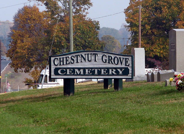
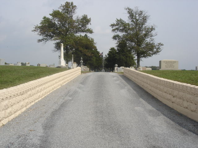
| Memorials | : | 577 |
| Location | : | Elmer, Salem County, USA |
| Coordinate | : | 39.6049995, -75.1766968 |
| Description | : | To reach cemetery, take Main Street north thru Elmer, for approx 7/10 mile to the Post Office, where you will see a fork in the road. Take the right fork, which is Rte #609 or Richwood Rd, and continue for 2/10 of a mile. You can see the cemetery on the right or east side of the road off in the distance. This active cemetery is owned and maintained by the Chestnut Grove Association. |
frequently asked questions (FAQ):
-
Where is Chestnut Grove Cemetery?
Chestnut Grove Cemetery is located at Route 609 Elmer, Salem County ,New Jersey ,USA.
-
Chestnut Grove Cemetery cemetery's updated grave count on graveviews.com?
577 memorials
-
Where are the coordinates of the Chestnut Grove Cemetery?
Latitude: 39.6049995
Longitude: -75.1766968
Nearby Cemetories:
1. Friendship Methodist Cemetery
Monroeville, Salem County, USA
Coordinate: 39.6219101, -75.1827240
2. Chickory Chapel Cemetery
Gloucester County, USA
Coordinate: 39.6244011, -75.1318970
3. Hardingville Cemetery
Hardingville, Gloucester County, USA
Coordinate: 39.6632100, -75.1790400
4. Pittsgrove Baptist Church Cemetery
Daretown, Salem County, USA
Coordinate: 39.6038208, -75.2559586
5. Olivet Cemetery
Pittsgrove, Salem County, USA
Coordinate: 39.5430183, -75.1625671
6. Pittsgrove Presbyterian Church Cemetery
Daretown, Salem County, USA
Coordinate: 39.6009521, -75.2609253
7. Old Pittsgrove Presbyterian Church Cemetery
Daretown, Salem County, USA
Coordinate: 39.5998840, -75.2622986
8. Gloucester County Veterans Memorial Cemetery
Williamstown, Gloucester County, USA
Coordinate: 39.6521279, -75.1163586
9. Old Pittsgrove Baptist Churchyard
Upper Pittsgrove, Salem County, USA
Coordinate: 39.6119728, -75.2677689
10. Centerton Free Will Baptist Cemetery
Centerton, Salem County, USA
Coordinate: 39.5335200, -75.1675300
11. Porchtown Zion Methodist Church Cemetery
Franklinville, Gloucester County, USA
Coordinate: 39.5895400, -75.0848000
12. Aura Methodist Cemetery
Aura, Gloucester County, USA
Coordinate: 39.6725006, -75.1374969
13. Aldine United Methodist Church Cemetery
Aldine, Salem County, USA
Coordinate: 39.5689125, -75.2749100
14. Franklinville African Methodist Episcopal Cemetery
Gloucester County, USA
Coordinate: 39.6138500, -75.0666600
15. Land Of Canaan Cemetery
Glassboro, Gloucester County, USA
Coordinate: 39.6741982, -75.1085968
16. Cedar Green Cemetery
Clayton, Gloucester County, USA
Coordinate: 39.6613998, -75.0852966
17. Deerfield United Methodist Church Cemetery
Deerfield, Cumberland County, USA
Coordinate: 39.5258700, -75.2361200
18. Willow Grove Cemetery
Pittsgrove, Salem County, USA
Coordinate: 39.5503590, -75.0777990
19. Mount Laurel Church Cemetery
Yorketown, Salem County, USA
Coordinate: 39.6174020, -75.3023530
20. Malaga Cemetery
Malaga, Gloucester County, USA
Coordinate: 39.5699800, -75.0537300
21. Northville Estonian Lutheran Church Cemetery
Bridgeton, Cumberland County, USA
Coordinate: 39.5048890, -75.2039760
22. Deerfield Presbyterian Cemetery
Deerfield, Cumberland County, USA
Coordinate: 39.5117000, -75.2375900
23. Saint Johns United Methodist Church Cemetery
Harrisonville, Gloucester County, USA
Coordinate: 39.6842500, -75.2666000
24. Ferrell United Methodist Church Cemetery
Harrisonville, Gloucester County, USA
Coordinate: 39.6847725, -75.2669296


