
| Memorials | : | 0 |
| Location | : | Gloucester County, USA |
| Coordinate | : | 39.6244011, -75.1318970 |
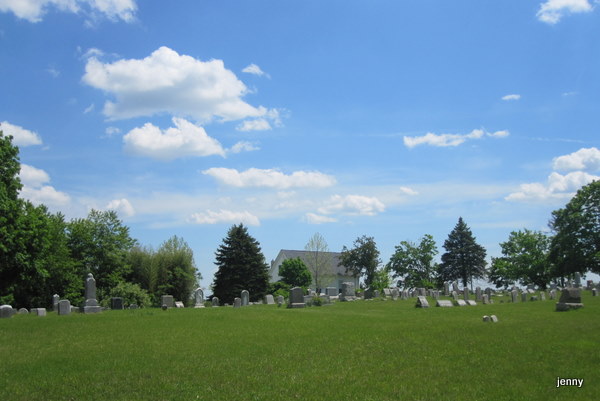
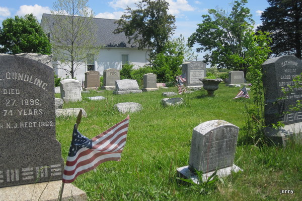
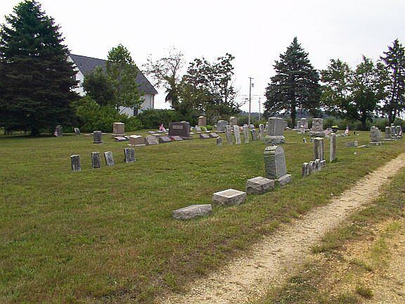
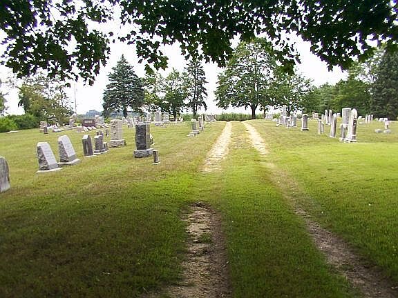
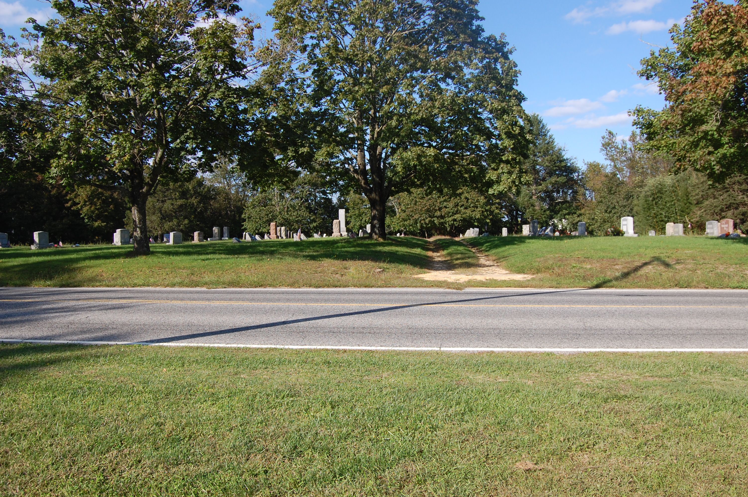
| Description | : | Chickory Chapel Cemetery is still open and accepting burials, but is limited to members of the church and relatives of those already buried here. The cemetery is unmarked, but generally well tended and clean. All existing stones have been transcribed and entered. However, volunteers are in the process of recording memorials that either did not have stones, or no longer have stones. Church records show at least another 50-75 unmarked memorials. Plots are laid out in sections starting with the right front being section A (near road) through K (at rear). Each section has 9 rows descending... Read More |
frequently asked questions (FAQ):
-
Where is Chickory Chapel Cemetery?
Chickory Chapel Cemetery is located at 607 Monroeville Road (County Road 604) Gloucester County ,New Jersey , 08343USA.
-
Chickory Chapel Cemetery cemetery's updated grave count on graveviews.com?
0 memorials
-
Where are the coordinates of the Chickory Chapel Cemetery?
Latitude: 39.6244011
Longitude: -75.1318970


Nearby Cemetories:
1. Gloucester County Veterans Memorial Cemetery
Williamstown, Gloucester County, USA
Coordinate: 39.6521279, -75.1163586
2. Friendship Methodist Cemetery
Monroeville, Salem County, USA
Coordinate: 39.6219101, -75.1827240
3. Chestnut Grove Cemetery
Elmer, Salem County, USA
Coordinate: 39.6049995, -75.1766968
4. Aura Methodist Cemetery
Aura, Gloucester County, USA
Coordinate: 39.6725006, -75.1374969
5. Porchtown Zion Methodist Church Cemetery
Franklinville, Gloucester County, USA
Coordinate: 39.5895400, -75.0848000
6. Franklinville African Methodist Episcopal Cemetery
Gloucester County, USA
Coordinate: 39.6138500, -75.0666600
7. Cedar Green Cemetery
Clayton, Gloucester County, USA
Coordinate: 39.6613998, -75.0852966
8. Land Of Canaan Cemetery
Glassboro, Gloucester County, USA
Coordinate: 39.6741982, -75.1085968
9. Hardingville Cemetery
Hardingville, Gloucester County, USA
Coordinate: 39.6632100, -75.1790400
10. Trinity Bible Cemetery
Glassboro, Gloucester County, USA
Coordinate: 39.7003610, -75.1133800
11. Saint Bridgets Cemetery
Glassboro, Gloucester County, USA
Coordinate: 39.7023300, -75.1159000
12. Malaga Cemetery
Malaga, Gloucester County, USA
Coordinate: 39.5699800, -75.0537300
13. Janvier Cemetery
Gloucester County, USA
Coordinate: 39.6194000, -75.0267029
14. First United Methodist Church Cemetery
Glassboro, Gloucester County, USA
Coordinate: 39.7068900, -75.1081300
15. Olivet Cemetery
Pittsgrove, Salem County, USA
Coordinate: 39.5430183, -75.1625671
16. Willow Grove Cemetery
Pittsgrove, Salem County, USA
Coordinate: 39.5503590, -75.0777990
17. Saint Thomas Episcopal Church Cemetery
Glassboro, Gloucester County, USA
Coordinate: 39.7079200, -75.1101500
18. Downer United Methodist Church Cemetery
Williamstown, Gloucester County, USA
Coordinate: 39.6929700, -75.0523200
19. Manahath Cemetery
Glassboro, Gloucester County, USA
Coordinate: 39.7154236, -75.1141129
20. Centerton Free Will Baptist Cemetery
Centerton, Salem County, USA
Coordinate: 39.5335200, -75.1675300
21. Pittsgrove Baptist Church Cemetery
Daretown, Salem County, USA
Coordinate: 39.6038208, -75.2559586
22. Plainville United Methodist Cemetery
Franklinville, Gloucester County, USA
Coordinate: 39.6034400, -75.0047800
23. Richwood United Methodist Church Cemetery
Richwood, Gloucester County, USA
Coordinate: 39.7211100, -75.1667700
24. Pittsgrove Presbyterian Church Cemetery
Daretown, Salem County, USA
Coordinate: 39.6009521, -75.2609253