
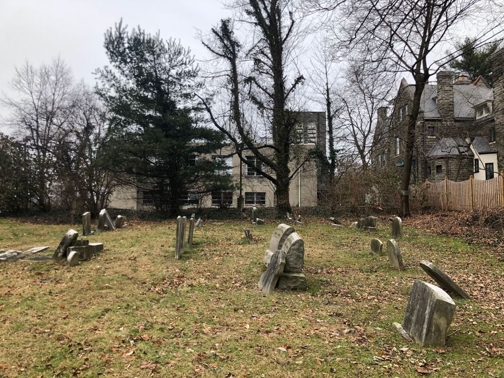
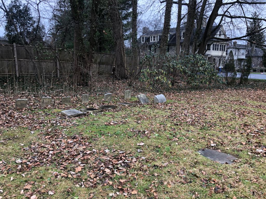
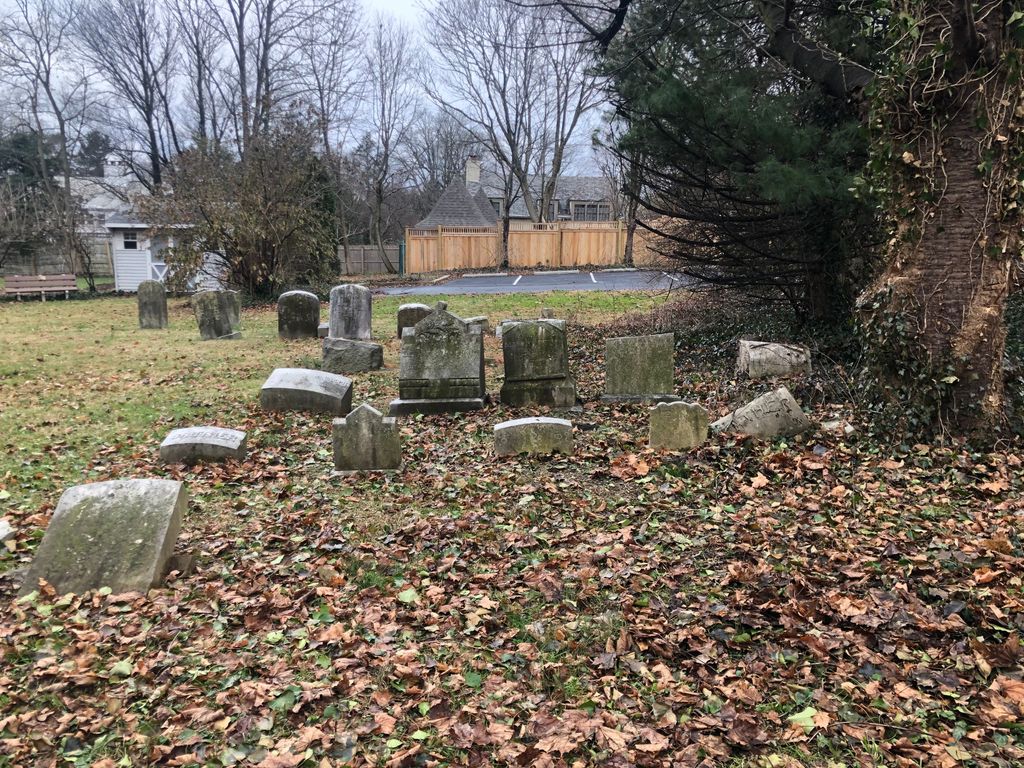
| Memorials | : | 0 |
| Location | : | Philadelphia, Philadelphia County, USA |
| Website | : | www.chestnuthillunited.org/ |
| Coordinate | : | 40.0777900, -75.2118500 |
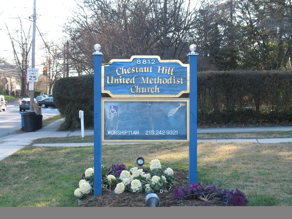
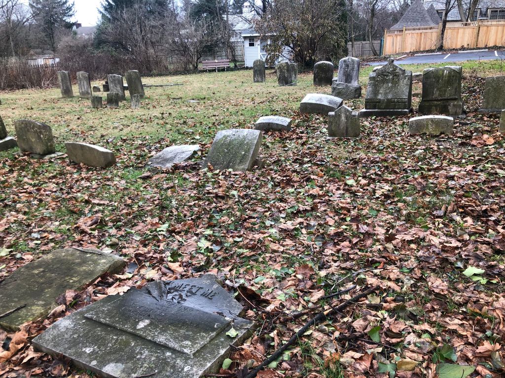
| Description | : | From the church website - "Chestnut Hill United Church was founded between 1845 and 1850, starting first as just a gathering of people and gradually formalizing itself. The land on which the church now stands was obtained during those first five years, and a wood-frame church was constructed. Throughout the 19th century the church -- initially named Wesley Methodist Episcopal Chapel -- remained relatively small, except for a rather intense attendance during the Civil War due to the presence of both an encampment of soldiers and a military hospital. The name underwent various changes throughout its first 165 years, the... Read More |
frequently asked questions (FAQ):
-
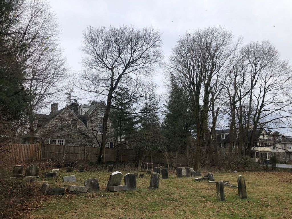
Where is Chestnut Hill United Churchyard?
Chestnut Hill United Churchyard is located at 8812 Germantown Avenue Philadelphia, Philadelphia County ,Pennsylvania , 19118USA.
-
Chestnut Hill United Churchyard cemetery's updated grave count on graveviews.com?
0 memorials
-
Where are the coordinates of the Chestnut Hill United Churchyard?
Latitude: 40.0777900
Longitude: -75.2118500
Nearby Cemetories:
1. Saint Paul Episcopal Church Columbarium
Philadelphia County, USA
Coordinate: 40.0790510, -75.2085450
2. Chestnut Hill Baptist Churchyard
Philadelphia, Philadelphia County, USA
Coordinate: 40.0779170, -75.2073920
3. Yeakel Schwenkfelder Cemetery
Wyndmoor, Montgomery County, USA
Coordinate: 40.0858000, -75.2056000
4. Church of Saint Martin-in-the-Fields Columbarium
Philadelphia, Philadelphia County, USA
Coordinate: 40.0653650, -75.2066780
5. Saint Joseph's Villa Cemetery
Flourtown, Montgomery County, USA
Coordinate: 40.0979614, -75.2172012
6. Ivy Hill Cemetery
Philadelphia, Philadelphia County, USA
Coordinate: 40.0750008, -75.1810989
7. Saint Marys Episcopal Church Cemetery
Roxborough, Philadelphia County, USA
Coordinate: 40.0643350, -75.2412050
8. Roxborough Presbyterian Burial Grounds
Roxborough, Philadelphia County, USA
Coordinate: 40.0594500, -75.2380100
9. Springfield Presbyterian Church Cemetery
Flourtown, Montgomery County, USA
Coordinate: 40.1084000, -75.2132000
10. Saint Peter Evangelical Lutheran Church Cemetery
Lafayette Hill, Montgomery County, USA
Coordinate: 40.0830116, -75.2517624
11. Holy Sepulchre Cemetery
Cheltenham Township, Montgomery County, USA
Coordinate: 40.0867729, -75.1722336
12. Saint Michaels Lutheran Churchyard
Germantown, Philadelphia County, USA
Coordinate: 40.0517044, -75.1850204
13. Saint Raymond of Penafort Roman Catholic Church Grounds
Philadelphia County, USA
Coordinate: 40.0723237, -75.1678291
14. Germantown Church of the Brethren Cemetery
Germantown, Philadelphia County, USA
Coordinate: 40.0496101, -75.1840820
15. Church of Saint Alban Memorial Garden
Roxborough, Philadelphia County, USA
Coordinate: 40.0423160, -75.2247540
16. Chelten Hills Cemetery
Philadelphia, Philadelphia County, USA
Coordinate: 40.0655899, -75.1654892
17. Saint Mary of the Assumption Cemetery
Roxborough, Philadelphia County, USA
Coordinate: 40.0382996, -75.2268982
18. Union Cemetery
Whitemarsh, Montgomery County, USA
Coordinate: 40.1189000, -75.2146000
19. Upper Burial Grounds
Germantown, Philadelphia County, USA
Coordinate: 40.0440000, -75.1811000
20. Saint Thomas Episcopal Church Cemetery
Whitemarsh, Montgomery County, USA
Coordinate: 40.1207504, -75.2144623
21. Leverington Cemetery
Roxborough, Philadelphia County, USA
Coordinate: 40.0335999, -75.2118988
22. Germantown Mennonite Cemetery
Germantown, Philadelphia County, USA
Coordinate: 40.0413971, -75.1789932
23. Saint Athanasius Roman Catholic Church Grounds
West Oak Lane, Philadelphia County, USA
Coordinate: 40.0626642, -75.1549100
24. Haines Street Methodist Cemetery
Germantown, Philadelphia County, USA
Coordinate: 40.0393370, -75.1763230