
| Memorials | : | 482 |
| Location | : | Tyendinaga Mohawk Territory, Hastings County, Canada |
| Coordinate | : | 44.1855650, -77.0734030 |
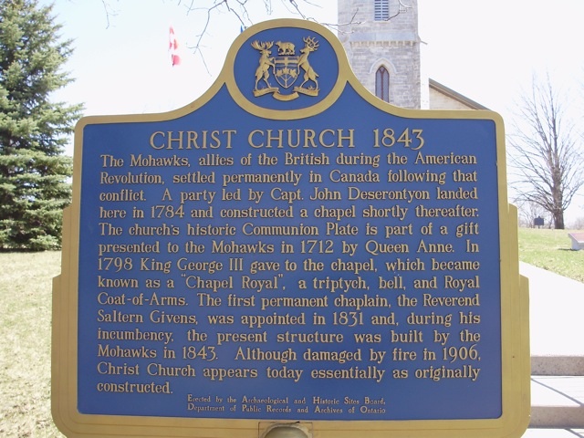
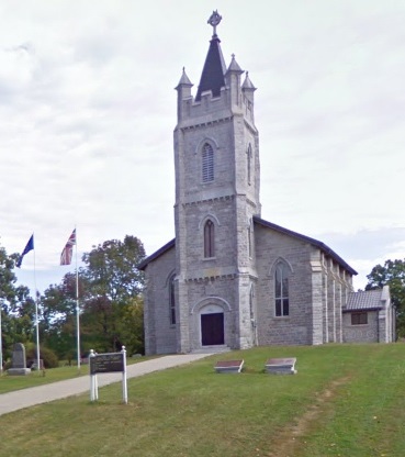
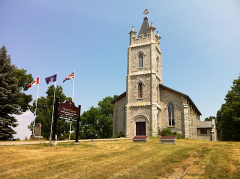
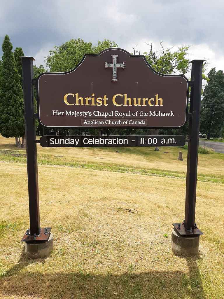
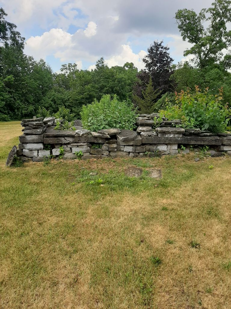
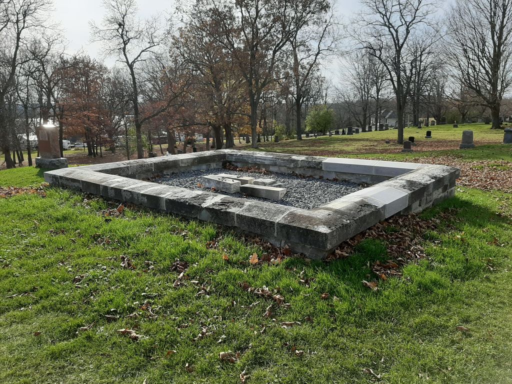
| Description | : | Christ Church on the Tyendinaga Reserve The County of Hastings - Tyendinaga Mohawk Territory On South Church Lane at street #52 - 1.5 km from Highway 49 via east on Bayshore Road [Road 16] then north on South Church Lane Plaque Text The Mohawks, allies of the British during the American Revolution, settled permanently in Canada following that conflict. A party led by Capt. John Deserontyon landed here in 1784 and constructed a chapel shortly thereafter. The church's historic Communion Plate is part of a gift presented to the Mohawks in 1712 by Queen Anne. In 1798 King George III gave... Read More |
frequently asked questions (FAQ):
-
Where is Christ Church Anglican Cemetery?
Christ Church Anglican Cemetery is located at Tyendinaga Mohawk Territory, Hastings County ,Ontario ,Canada.
-
Christ Church Anglican Cemetery cemetery's updated grave count on graveviews.com?
482 memorials
-
Where are the coordinates of the Christ Church Anglican Cemetery?
Latitude: 44.1855650
Longitude: -77.0734030
Nearby Cemetories:
1. Mohawk Pentecostal Cemetery
Deseronto, Hastings County, Canada
Coordinate: 44.1818490, -77.0816910
2. Native New Life Cemetery
Tyendinaga Mohawk Territory, Hastings County, Canada
Coordinate: 44.2158100, -77.0755300
3. Saint Vincent de Paul RC Cemetery
Deseronto, Hastings County, Canada
Coordinate: 44.2007360, -77.0299420
4. Deseronto Cemetery
Deseronto, Hastings County, Canada
Coordinate: 44.2000000, -77.0276000
5. Desoronto Cemetery
Lennox and Addington County, Canada
Coordinate: 44.2002570, -77.0275390
6. All Saints Anglican Church Cemetery
Tyendinaga Mohawk Territory, Hastings County, Canada
Coordinate: 44.1818500, -77.1390570
7. All Saints Church Cemetery
Deseronto, Hastings County, Canada
Coordinate: 44.1824400, -77.1392700
8. Mount Pleasant Cemetery
Mount Pleasant, Lennox and Addington County, Canada
Coordinate: 44.2422300, -77.0347000
9. Holy Name of Mary Catholic Cemetery
Marysville, Hastings County, Canada
Coordinate: 44.2238890, -77.1449530
10. Roblin Family Cemetery
Bethesda, Prince Edward County Municipality, Canada
Coordinate: 44.1291542, -77.1178513
11. Parks Cemetery
North Fredericksburgh, Lennox and Addington County, Canada
Coordinate: 44.1447780, -76.9940450
12. Diamond Family Burial Ground
The Pines, Lennox and Addington County, Canada
Coordinate: 44.1354370, -77.0016830
13. Roblin Mills Cemetery
Sophiasburgh, Prince Edward County Municipality, Canada
Coordinate: 44.1135410, -77.0808730
14. Martin Cemetery
Richmond, Lennox and Addington County, Canada
Coordinate: 44.2620250, -77.0498710
15. McCabe Cemetery
Hay Bay, Lennox and Addington County, Canada
Coordinate: 44.1651900, -76.9679500
16. Loyst Cemetery
South Fredericksburgh, Lennox and Addington County, Canada
Coordinate: 44.1416640, -76.9828650
17. Carscallen Cemetery
North Fredericksburgh, Lennox and Addington County, Canada
Coordinate: 44.2279020, -76.9662890
18. Van Horn Farm Cemetery
Sophiasburgh, Prince Edward County Municipality, Canada
Coordinate: 44.1027500, -77.1211000
19. Hay Bay Quaker Cemetery
Hay Bay, Lennox and Addington County, Canada
Coordinate: 44.0982700, -77.0285400
20. Riverview Cemetery
Greater Napanee, Lennox and Addington County, Canada
Coordinate: 44.2384500, -76.9658600
21. Foster Cemetery
Bethesda, Prince Edward County Municipality, Canada
Coordinate: 44.1069400, -77.1582900
22. Trumpour Cemetery
Dorland, Lennox and Addington County, Canada
Coordinate: 44.0799940, -77.0594790
23. Sexsmith Cemetery
Napanee, Lennox and Addington County, Canada
Coordinate: 44.2899000, -77.0185800
24. St Mary Magdalene Cemetery
Napanee, Lennox and Addington County, Canada
Coordinate: 44.2528914, -76.9473792