
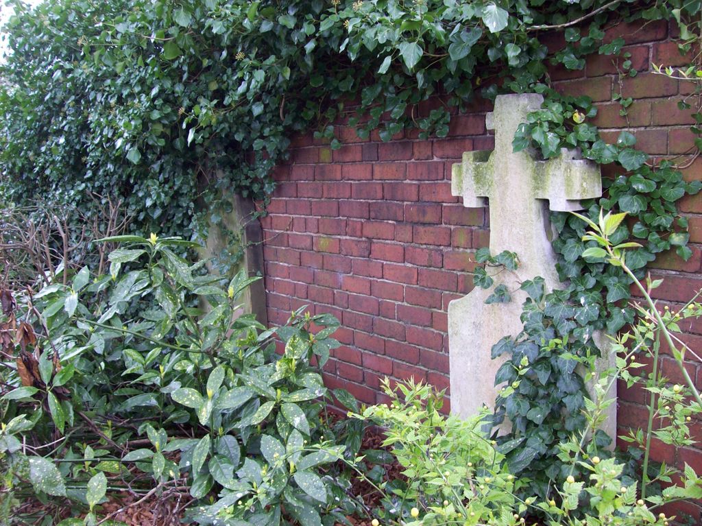
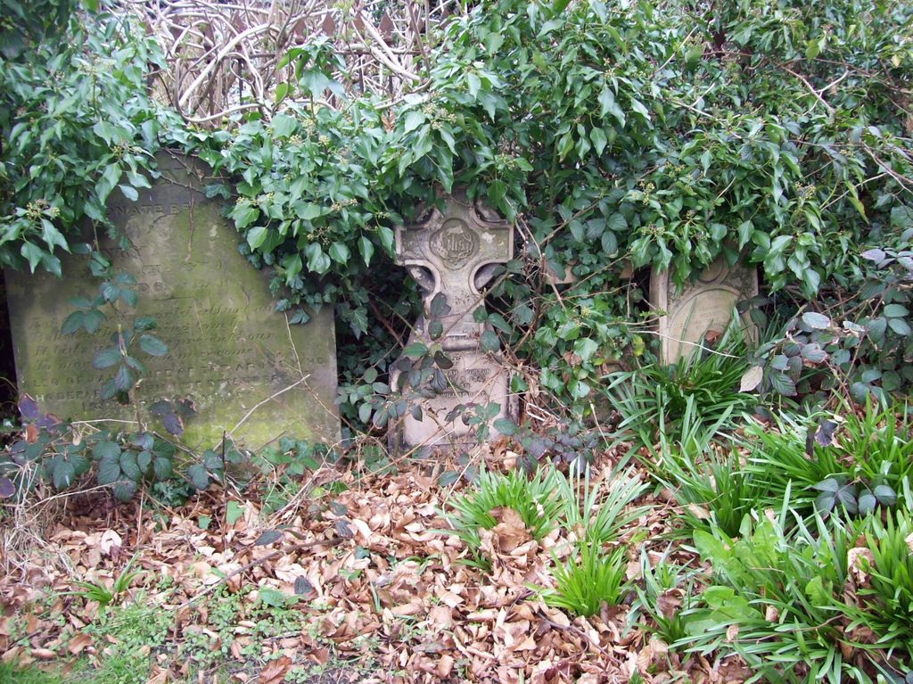
| Memorials | : | 1 |
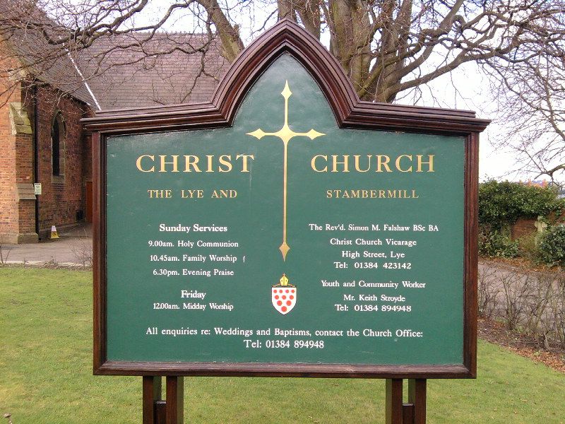
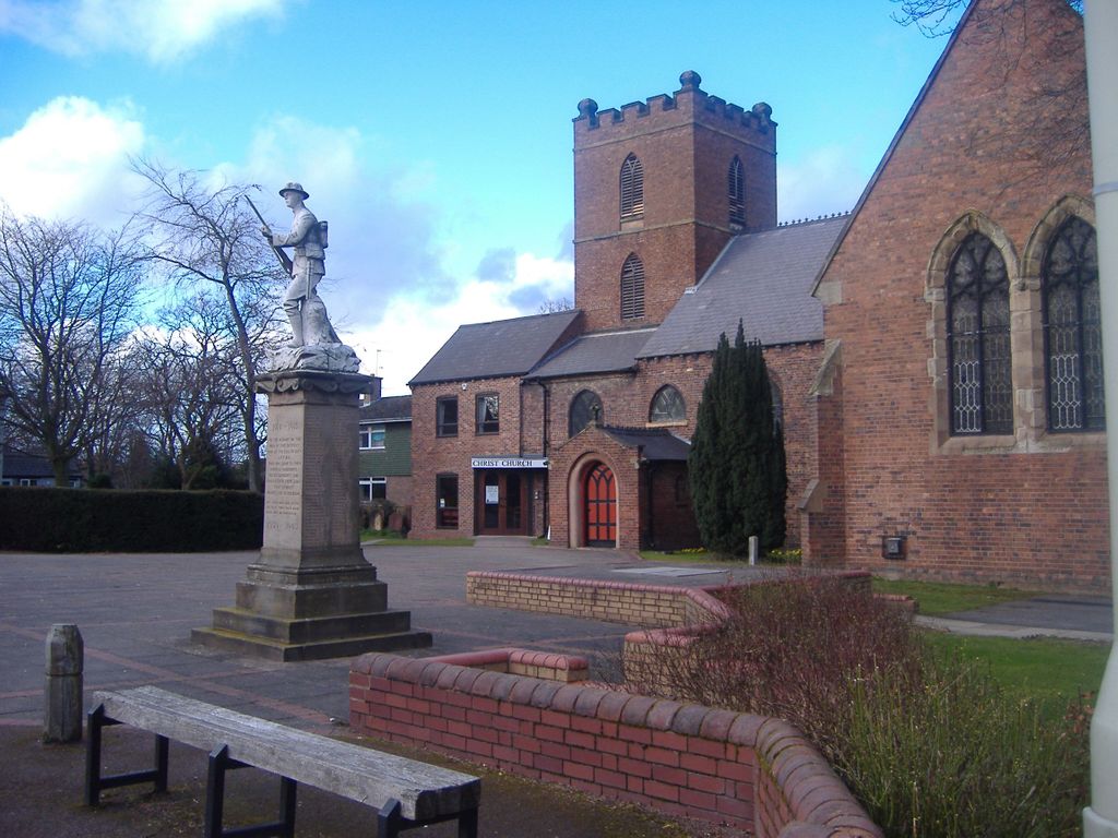
| Location | : | Lye, Metropolitan Borough of Dudley, England |
| Phone | : | 01384 423142/ 894948 |
| Website | : | christchurchinlye.jimdo.com |
| Coordinate | : | 52.4574720, -2.1140040 |
frequently asked questions (FAQ):
-
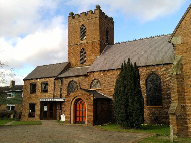
Where is Christ Church, The Lye and Stambermill?
Christ Church, The Lye and Stambermill is located at The Vicarage, High Street, Stourbridge Lye, Metropolitan Borough of Dudley ,West Midlands , DY9 8LFEngland.
-
Christ Church, The Lye and Stambermill cemetery's updated grave count on graveviews.com?
1 memorials
-
Where are the coordinates of the Christ Church, The Lye and Stambermill?
Latitude: 52.4574720
Longitude: -2.1140040
Nearby Cemetories:
1. Lye and Wollescote Cemetery
Lye, Metropolitan Borough of Dudley, England
Coordinate: 52.4543500, -2.1153700
2. Cradley Park Lane Unitarian Chapel
Cradley, Metropolitan Borough of Dudley, England
Coordinate: 52.4635800, -2.0971880
3. Christ Church Churchyard
Quarry Bank, Metropolitan Borough of Dudley, England
Coordinate: 52.4724270, -2.1056680
4. St. Peter's Churchyard
Cradley, Metropolitan Borough of Dudley, England
Coordinate: 52.4644514, -2.0877236
5. Brierley Hill Baptist Churchyard
Brierley Hill, Metropolitan Borough of Dudley, England
Coordinate: 52.4767380, -2.1268700
6. Holy Trinity Churchyard
Amblecote, Metropolitan Borough of Dudley, England
Coordinate: 52.4629900, -2.1489400
7. Amblecote
Stourbridge, Metropolitan Borough of Dudley, England
Coordinate: 52.4630297, -2.1490620
8. St. Peter Churchyard
Pedmore, Metropolitan Borough of Dudley, England
Coordinate: 52.4375700, -2.1306900
9. St Michael Churchyard
Brierley Hill, Metropolitan Borough of Dudley, England
Coordinate: 52.4794080, -2.1245920
10. St. John's Church Dudley Wood
Cradley Heath, Metropolitan Borough of Dudley, England
Coordinate: 52.4745685, -2.0865011
11. St Luke's Churchyard
Cradley Heath, Metropolitan Borough of Dudley, England
Coordinate: 52.4733130, -2.0788730
12. St. James' Churchyard
Wollaston, Metropolitan Borough of Dudley, England
Coordinate: 52.4602799, -2.1605207
13. St. John Churchyard
Brockmoor, Metropolitan Borough of Dudley, England
Coordinate: 52.4858200, -2.1337500
14. St John the Baptist Churchyard
Hagley, Bromsgrove District, England
Coordinate: 52.4247940, -2.1180030
15. Stourbridge Cemetery and Crematorium
Stourbridge, Metropolitan Borough of Dudley, England
Coordinate: 52.4530270, -2.1682470
16. Roman Catholic Cemetery
Stourbridge, Metropolitan Borough of Dudley, England
Coordinate: 52.4403800, -2.1629600
17. Holy Trinity Church
Wordsley, Metropolitan Borough of Dudley, England
Coordinate: 52.4802420, -2.1588740
18. St Andrews Churchyard
Netherton, Metropolitan Borough of Dudley, England
Coordinate: 52.4904500, -2.0913400
19. St. Andrew's Churchyard
Netherton, Metropolitan Borough of Dudley, England
Coordinate: 52.4907600, -2.0924390
20. Halesowen Cemetery
Halesowen, Metropolitan Borough of Dudley, England
Coordinate: 52.4500800, -2.0535400
21. St Kenelm's Churchyard
Romsley, Bromsgrove District, England
Coordinate: 52.4243600, -2.0830100
22. Hagley Cemetery
Hagley, Bromsgrove District, England
Coordinate: 52.4215800, -2.1391200
23. Rowley Regis Crematorium
Rowley Regis, Metropolitan Borough of Sandwell, England
Coordinate: 52.4801170, -2.0565480
24. Rowley Regis Cemetery
Rowley Regis, Metropolitan Borough of Sandwell, England
Coordinate: 52.4800670, -2.0546830