
| Memorials | : | 0 |
| Location | : | Stourbridge, Metropolitan Borough of Dudley, England |
| Coordinate | : | 52.4530270, -2.1682470 |
frequently asked questions (FAQ):
-
Where is Stourbridge Cemetery and Crematorium?
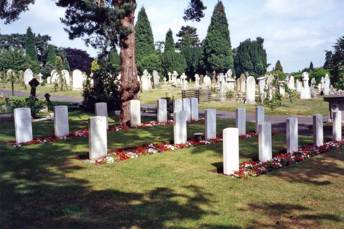
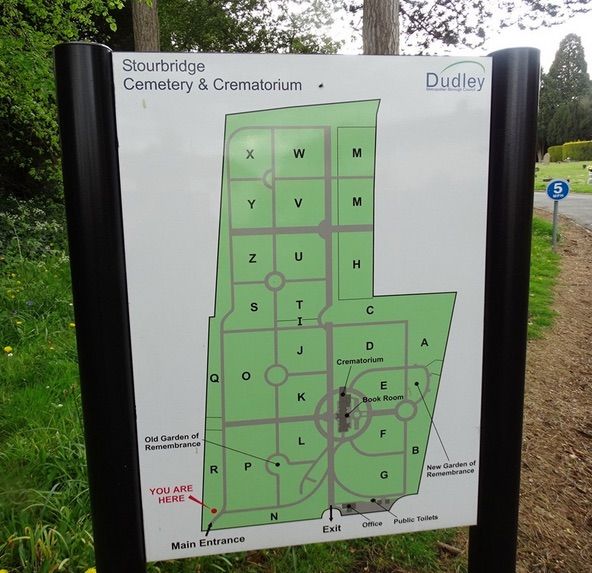
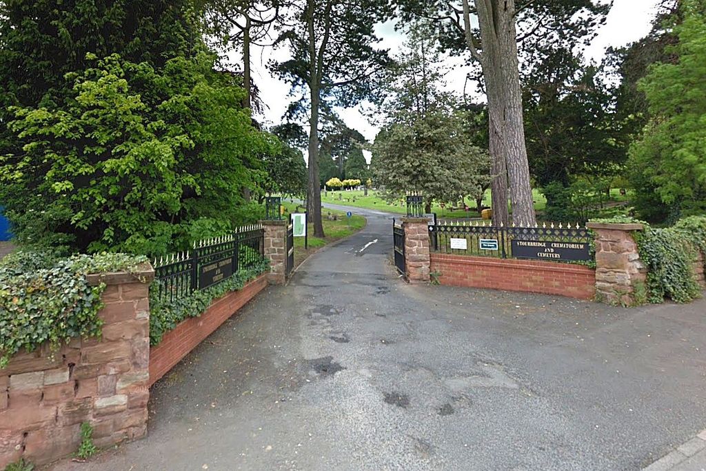
Stourbridge Cemetery and Crematorium is located at South Road Stourbridge, Metropolitan Borough of Dudley ,West Midlands , DY8 3RQEngland.
-
Stourbridge Cemetery and Crematorium cemetery's updated grave count on graveviews.com?
0 memorials
-
Where are the coordinates of the Stourbridge Cemetery and Crematorium?
Latitude: 52.4530270
Longitude: -2.1682470
Nearby Cemetories:
1. St. James' Churchyard
Wollaston, Metropolitan Borough of Dudley, England
Coordinate: 52.4602799, -2.1605207
2. Roman Catholic Cemetery
Stourbridge, Metropolitan Borough of Dudley, England
Coordinate: 52.4403800, -2.1629600
3. Amblecote
Stourbridge, Metropolitan Borough of Dudley, England
Coordinate: 52.4630297, -2.1490620
4. Holy Trinity Churchyard
Amblecote, Metropolitan Borough of Dudley, England
Coordinate: 52.4629900, -2.1489400
5. St. Peter Churchyard
Pedmore, Metropolitan Borough of Dudley, England
Coordinate: 52.4375700, -2.1306900
6. Holy Trinity Church
Wordsley, Metropolitan Borough of Dudley, England
Coordinate: 52.4802420, -2.1588740
7. Lye and Wollescote Cemetery
Lye, Metropolitan Borough of Dudley, England
Coordinate: 52.4543500, -2.1153700
8. Christ Church, The Lye and Stambermill
Lye, Metropolitan Borough of Dudley, England
Coordinate: 52.4574720, -2.1140040
9. Brierley Hill Baptist Churchyard
Brierley Hill, Metropolitan Borough of Dudley, England
Coordinate: 52.4767380, -2.1268700
10. Hagley Cemetery
Hagley, Bromsgrove District, England
Coordinate: 52.4215800, -2.1391200
11. St Michael Churchyard
Brierley Hill, Metropolitan Borough of Dudley, England
Coordinate: 52.4794080, -2.1245920
12. St. John Churchyard
Brockmoor, Metropolitan Borough of Dudley, England
Coordinate: 52.4858200, -2.1337500
13. St James the Great Churchyard
Churchill, Wyre Forest District, England
Coordinate: 52.4120960, -2.1782860
14. St John the Baptist Churchyard
Hagley, Bromsgrove District, England
Coordinate: 52.4247940, -2.1180030
15. Christ Church Churchyard
Quarry Bank, Metropolitan Borough of Dudley, England
Coordinate: 52.4724270, -2.1056680
16. Cradley Park Lane Unitarian Chapel
Cradley, Metropolitan Borough of Dudley, England
Coordinate: 52.4635800, -2.0971880
17. St. James The Great Churchyard
Blakedown, Wyre Forest District, England
Coordinate: 52.4052560, -2.1755792
18. St Mary Churchyard
Kingswinford, Metropolitan Borough of Dudley, England
Coordinate: 52.5015430, -2.1581310
19. St. Peter's Churchyard
Cradley, Metropolitan Borough of Dudley, England
Coordinate: 52.4644514, -2.0877236
20. St. Peter's Churchyard
Broome, Wyre Forest District, England
Coordinate: 52.4038450, -2.1453780
21. St. Peter's Churchyard
Cookley, Wyre Forest District, England
Coordinate: 52.4193280, -2.2334370
22. St. John's Church Dudley Wood
Cradley Heath, Metropolitan Borough of Dudley, England
Coordinate: 52.4745685, -2.0865011
23. St. Mark's Churchyard
Pensnett, Metropolitan Borough of Dudley, England
Coordinate: 52.5023660, -2.1267150
24. St. Leonard's Churchyard
Clent, Bromsgrove District, England
Coordinate: 52.4121240, -2.1065080