| Memorials | : | 2 |
| Location | : | Navarre, Stark County, USA |
| Coordinate | : | 40.7097015, -81.4805984 |
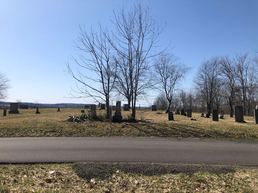
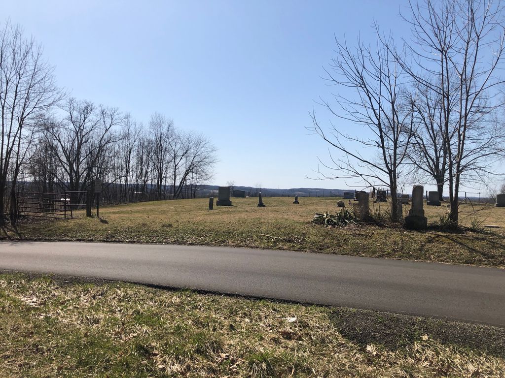
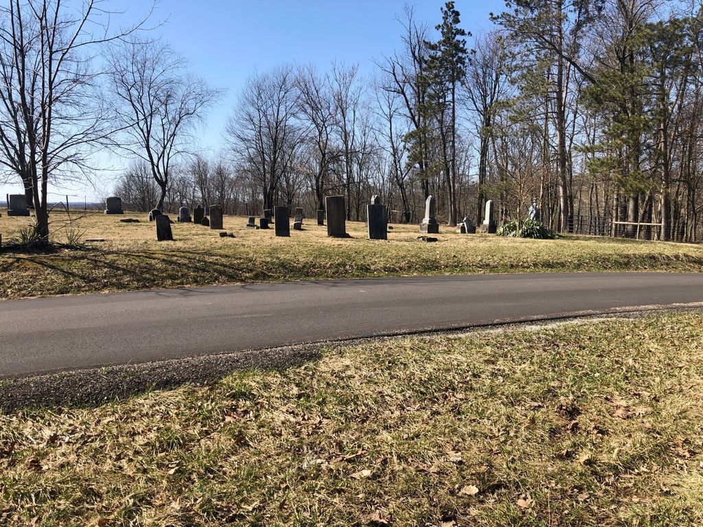
| Description | : | The cemetery is located on the west side of Kemary Avenue SW about 0.5 miles south of its intersection with Brinker Street SW (Township Road 297). The cemetery is located in Bethlehem Township, Stark County, Ohio, and is # 11465 (Church of God Cemetery / Stump Cemetery) in “Ohio Cemeteries 1803-2003”, compiled by the Ohio Genealogical Society. The cemetery is registered with the Ohio Division of Real Estate and Professional Licensing (ODRE) as Stump Cemetery with registration license number CRC.0000983419. The U.S. Geological Survey (USGS) Geographic Names Information System (GNIS) feature ID for the cemetery is 1039108 (Church... Read More |
frequently asked questions (FAQ):
-
Where is Church of God Cemetery?
Church of God Cemetery is located at Kemary Ave SW Navarre, Stark County ,Ohio , 44662USA.
-
Church of God Cemetery cemetery's updated grave count on graveviews.com?
1 memorials
-
Where are the coordinates of the Church of God Cemetery?
Latitude: 40.7097015
Longitude: -81.4805984
Nearby Cemetories:
1. Woodside Pet Cemetery
Navarre, Stark County, USA
Coordinate: 40.7178310, -81.4684690
2. Shepler Church Cemetery
Navarre, Stark County, USA
Coordinate: 40.6933746, -81.4806442
3. Brinker Street Cemetery
Navarre, Stark County, USA
Coordinate: 40.7152770, -81.4427390
4. East Union Lawn Cemetery
Navarre, Stark County, USA
Coordinate: 40.7252400, -81.5148600
5. Old Lutheran Church Cemetery
Navarre, Stark County, USA
Coordinate: 40.7258841, -81.5159502
6. Saint Clements Cemetery
Navarre, Stark County, USA
Coordinate: 40.7270012, -81.5169983
7. Union Lawn Cemetery
Navarre, Stark County, USA
Coordinate: 40.7266998, -81.5199966
8. Siffert Cemetery
Stark County, USA
Coordinate: 40.7150002, -81.4297028
9. Sherman Cemetery
Stark County, USA
Coordinate: 40.6954300, -81.4324400
10. Eden Church Of The Brethren Cemetery
Canton, Stark County, USA
Coordinate: 40.7375600, -81.4387300
11. Yant Cemetery
Navarre, Stark County, USA
Coordinate: 40.6757700, -81.4425980
12. Richville Cemetery
Stark County, USA
Coordinate: 40.7561700, -81.4712300
13. Gerber Cemetery
Canton, Stark County, USA
Coordinate: 40.7369440, -81.4269440
14. Slutts Cemetery
Navarre, Stark County, USA
Coordinate: 40.7043920, -81.5477070
15. Grove Cemetery
Stark County, USA
Coordinate: 40.6921997, -81.4107971
16. Saint Pauls Reformed Church Cemetery
Smoketown, Stark County, USA
Coordinate: 40.6731000, -81.5391000
17. Niesz Cemetery
Canton, Stark County, USA
Coordinate: 40.7515320, -81.4276610
18. Jacob Rider Family Farm Cemetery
Stark County, USA
Coordinate: 40.6912600, -81.5532300
19. Blough Cemetery
Stark County, USA
Coordinate: 40.6557999, -81.5096970
20. Zion Cemetery
East Sparta, Stark County, USA
Coordinate: 40.6840000, -81.4100000
21. Bolivar Cemetery
Bolivar, Tuscarawas County, USA
Coordinate: 40.6516880, -81.4548010
22. Dietrick Cemetery
Stark County, USA
Coordinate: 40.6899986, -81.5597000
23. Saint Stephens Cemetery
Bolivar, Tuscarawas County, USA
Coordinate: 40.6483002, -81.4567032
24. Baughman Cemetery
Navarre, Stark County, USA
Coordinate: 40.7425600, -81.5565100


