
| Memorials | : | 13 |
| Location | : | Smoketown, Stark County, USA |
| Coordinate | : | 40.6731000, -81.5391000 |
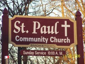
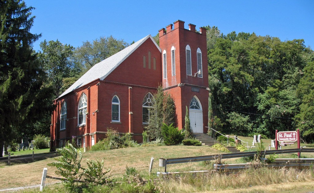
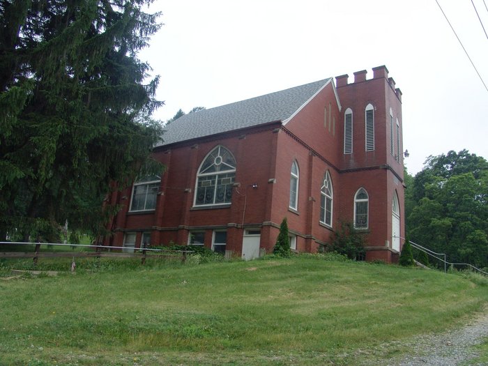
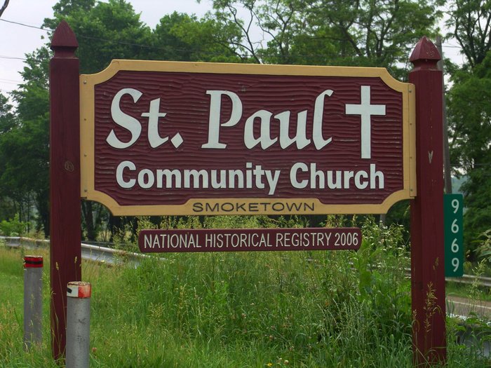
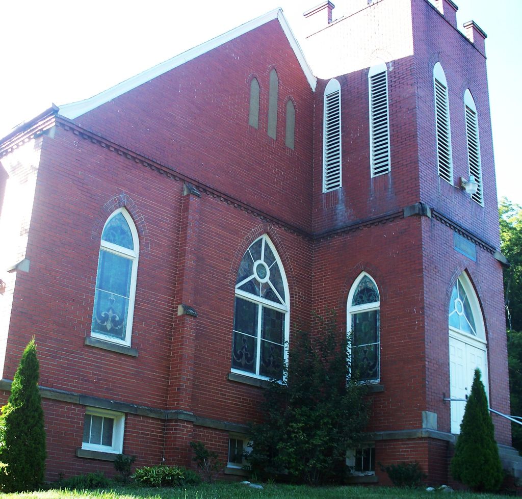
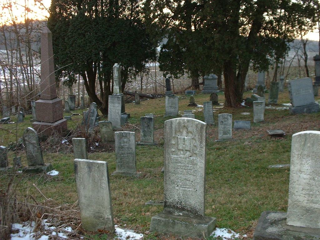
| Description | : | This location is on the National Register of Historic Places in Stark County, Ohio. The cemetery is located on the west side of Erie Avenue SW (Ohio State Route 21) about 0.1 miles north of its intersection with Crestline Street SE. The cemetery is located in Bethlehem Township, Stark County, Ohio, and is # 11269 (Saint Paul United Church of Christ Cemetery / Saint Paul Cemetery) and # 11273 (Smoketown Reformed Cemetery) in “Ohio Cemeteries 1803-2003”, compiled by the Ohio Genealogical Society. The cemetery is registered with the Ohio Division of Real Estate and Professional Licensing (ODRE)... Read More |
frequently asked questions (FAQ):
-
Where is Saint Pauls Reformed Church Cemetery?
Saint Pauls Reformed Church Cemetery is located at 9669 Erie Ave. SW Smoketown, Stark County ,Ohio , 44662USA.
-
Saint Pauls Reformed Church Cemetery cemetery's updated grave count on graveviews.com?
13 memorials
-
Where are the coordinates of the Saint Pauls Reformed Church Cemetery?
Latitude: 40.6731000
Longitude: -81.5391000
Nearby Cemetories:
1. Jacob Rider Family Farm Cemetery
Stark County, USA
Coordinate: 40.6912600, -81.5532300
2. Dietrick Cemetery
Stark County, USA
Coordinate: 40.6899986, -81.5597000
3. Bose Cemetery
Beach City, Stark County, USA
Coordinate: 40.6530991, -81.5631027
4. Blough Cemetery
Stark County, USA
Coordinate: 40.6557999, -81.5096970
5. Old German Evangelical Cemetery
Justus, Stark County, USA
Coordinate: 40.6764500, -81.5806500
6. Slutts Cemetery
Navarre, Stark County, USA
Coordinate: 40.7043920, -81.5477070
7. German Cemetery
Justus, Stark County, USA
Coordinate: 40.6866989, -81.5796967
8. South Lawn Cemetery
Beach City, Stark County, USA
Coordinate: 40.6492271, -81.5740128
9. Welty Cemetery
Brewster, Stark County, USA
Coordinate: 40.6856003, -81.5988998
10. Shepler Church Cemetery
Navarre, Stark County, USA
Coordinate: 40.6933746, -81.4806442
11. Reed Cemetery
Brewster, Stark County, USA
Coordinate: 40.7039500, -81.5901200
12. Christian Life Mennonite Church Cemetery
Beach City, Stark County, USA
Coordinate: 40.6448749, -81.5945619
13. Breninger Cemetery
Beach City, Stark County, USA
Coordinate: 40.6485550, -81.5981570
14. Weimer Cemetery
Wilmot, Stark County, USA
Coordinate: 40.6627998, -81.6102982
15. East Union Lawn Cemetery
Navarre, Stark County, USA
Coordinate: 40.7252400, -81.5148600
16. Union Lawn Cemetery
Navarre, Stark County, USA
Coordinate: 40.7266998, -81.5199966
17. Old Lutheran Church Cemetery
Navarre, Stark County, USA
Coordinate: 40.7258841, -81.5159502
18. Hartline Cemetery
Strasburg, Tuscarawas County, USA
Coordinate: 40.6169014, -81.5447006
19. Saint Clements Cemetery
Navarre, Stark County, USA
Coordinate: 40.7270012, -81.5169983
20. Church of God Cemetery
Navarre, Stark County, USA
Coordinate: 40.7097015, -81.4805984
21. Crossroads Union Cemetery
Crossroads, Stark County, USA
Coordinate: 40.7271004, -81.5736008
22. Zutavern Cemetery
Bolivar, Tuscarawas County, USA
Coordinate: 40.6260986, -81.4875031
23. Baptist Cemetery
Brewster, Stark County, USA
Coordinate: 40.6918983, -81.6181030
24. Saint Stephens Cemetery
Bolivar, Tuscarawas County, USA
Coordinate: 40.6483002, -81.4567032