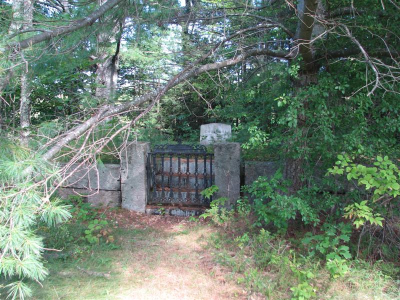
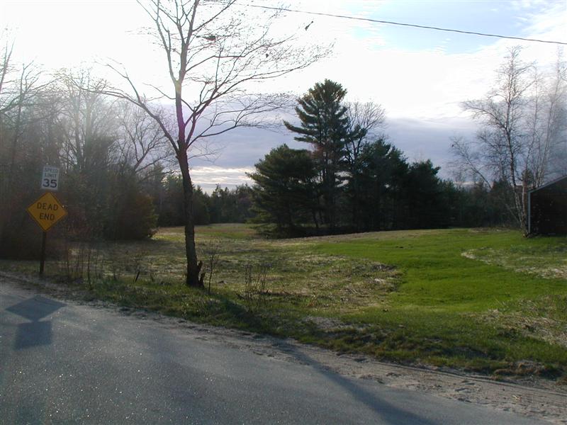
| Memorials | : | 0 |
| Location | : | Brookfield, Carroll County, USA |
| Coordinate | : | 43.5476000, -71.0650000 |
| Description | : | this is a small family grave site located west of Moose Mountain Road in a grove of trees in a field. Can be seen from the road. New Hampshire Old Graveyard Association database cemetery code B19-010 |
frequently asked questions (FAQ):
-
Where is Churchill Cemetery?
Churchill Cemetery is located at Moose Mountain Road Brookfield, Carroll County ,New Hampshire , 03872USA.
-
Churchill Cemetery cemetery's updated grave count on graveviews.com?
0 memorials
-
Where are the coordinates of the Churchill Cemetery?
Latitude: 43.5476000
Longitude: -71.0650000
Nearby Cemetories:
1. Churchill Family Cemetery
Brookfield, Carroll County, USA
Coordinate: 43.5494000, -71.0625000
2. Boston Cemetery
Brookfield, Carroll County, USA
Coordinate: 43.5438000, -71.0749000
3. Chamberlain-Cate Cemetery
Brookfield, Carroll County, USA
Coordinate: 43.5434100, -71.0749000
4. Dealand Cemetery
Brookfield, Carroll County, USA
Coordinate: 43.5452510, -71.0532190
5. Buzzell Cemetery
Brookfield, Carroll County, USA
Coordinate: 43.5395890, -71.0571670
6. Willey Family Cemetery
Brookfield, Carroll County, USA
Coordinate: 43.5417000, -71.0794000
7. Cate Cemetery
Brookfield, Carroll County, USA
Coordinate: 43.5382200, -71.0545920
8. Churchill Gravesite
Brookfield, Carroll County, USA
Coordinate: 43.5435400, -71.0845900
9. Belknap Cemetery
Brookfield, Carroll County, USA
Coordinate: 43.5361050, -71.0515020
10. Eaton Cemetery
Brookfield, Carroll County, USA
Coordinate: 43.5626060, -71.0733030
11. Trickey Farm Cemetery
Brookfield, Carroll County, USA
Coordinate: 43.5390900, -71.0846500
12. Saint Anthonys Cemetery
Sanbornville, Carroll County, USA
Coordinate: 43.5494500, -71.0386710
13. Lyford - Hutchins Family Cemetery
Brookfield, Carroll County, USA
Coordinate: 43.5679000, -71.0680000
14. Robinson Cemetery
Brookfield, Carroll County, USA
Coordinate: 43.5694000, -71.0645000
15. Ferguson-Chamberlain Cemetery
Brookfield, Carroll County, USA
Coordinate: 43.5327000, -71.0408000
16. Hutchins Cemetery
Wakefield, Carroll County, USA
Coordinate: 43.5481000, -71.0330000
17. Thomas T Dealand Family Cemetery
Brookfield, Carroll County, USA
Coordinate: 43.5696310, -71.0784720
18. Shortridge Cemetery
Brookfield, Carroll County, USA
Coordinate: 43.5718000, -71.0731500
19. Gilman Cemetery
Wakefield, Carroll County, USA
Coordinate: 43.5316670, -71.0383330
20. Lang-Drew Cemetery
Brookfield, Carroll County, USA
Coordinate: 43.5711050, -71.0836300
21. Pike Cemetery
Brookfield, Carroll County, USA
Coordinate: 43.5735220, -71.0515990
22. Lovell Lake Cemetery
Sanbornville, Carroll County, USA
Coordinate: 43.5506000, -71.0244000
23. Brookfield Town Cemetery
Brookfield, Carroll County, USA
Coordinate: 43.5768000, -71.0758000
24. Lyford-Clark Road Cemetery
Brookfield, Carroll County, USA
Coordinate: 43.5780602, -71.0659256


