
| Memorials | : | 0 |
| Location | : | East Angus, Estrie Region, Canada |
| Coordinate | : | 45.5046560, -71.6596360 |
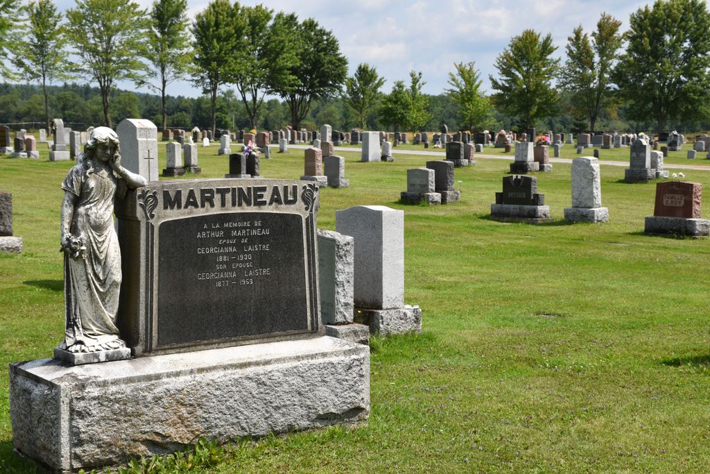
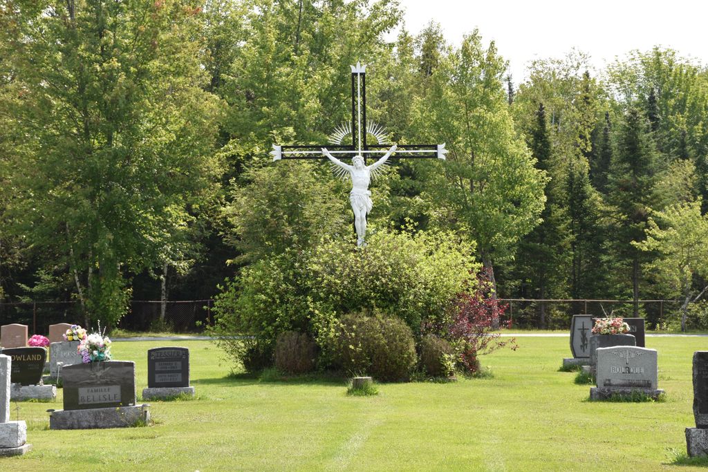
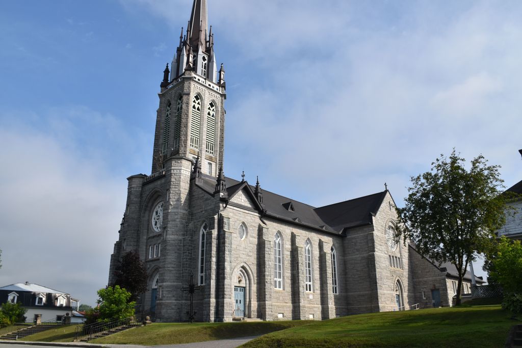
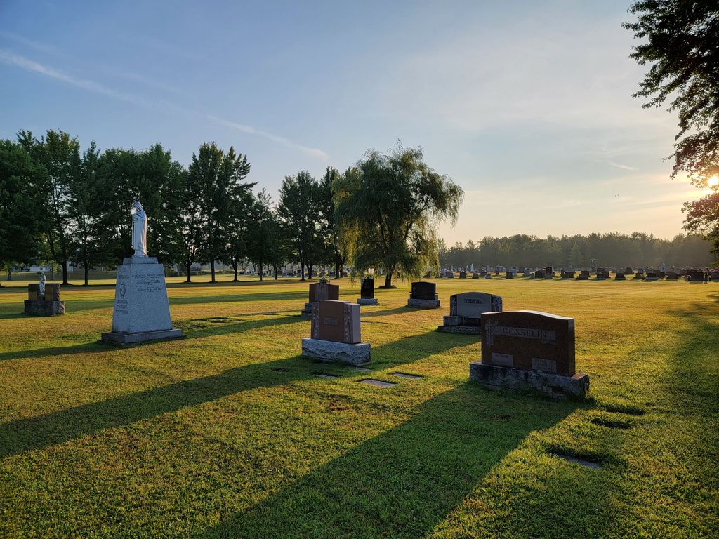
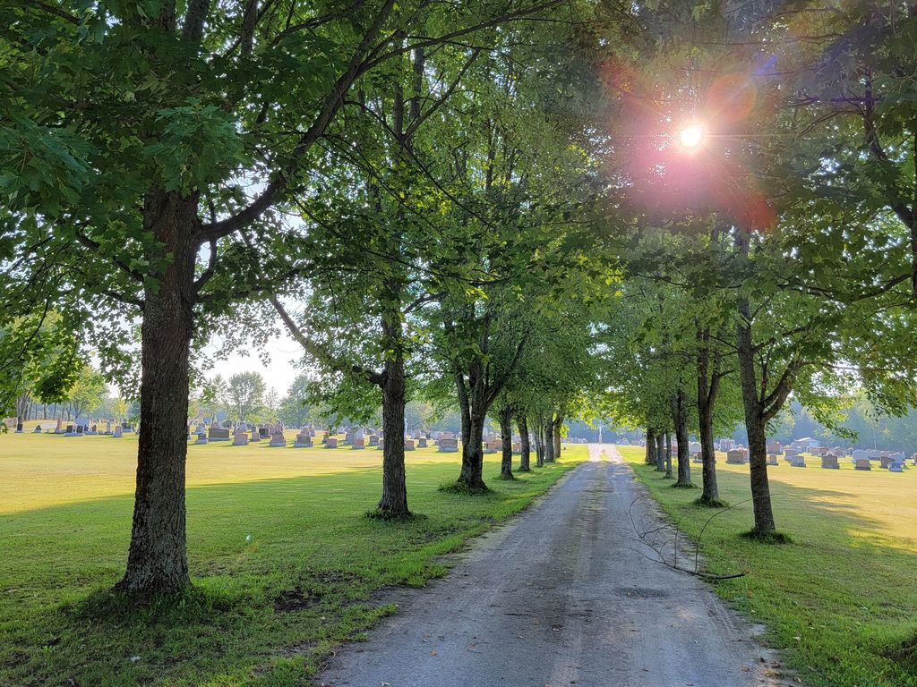
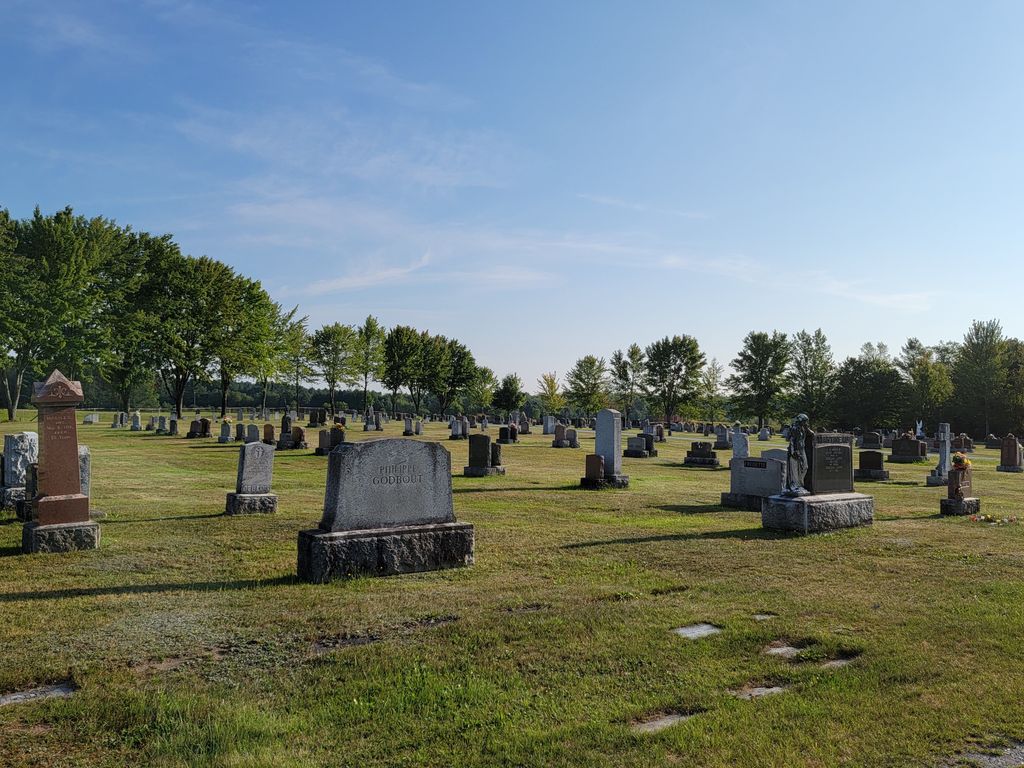
| Description | : | Associated with the Saint-Louis-de-France Church of East Angus - cemetery might be in Westbury which surrounds East Angus - called Cimetière St-Louis. Any more information to add to the description of the cemetery, write Robert Comeau (#47310707). |
frequently asked questions (FAQ):
-
Where is Cimetière Saint-Louis?
Cimetière Saint-Louis is located at Rue Angus Nord East Angus, Estrie Region ,Quebec ,Canada.
-
Cimetière Saint-Louis cemetery's updated grave count on graveviews.com?
0 memorials
-
Where are the coordinates of the Cimetière Saint-Louis?
Latitude: 45.5046560
Longitude: -71.6596360
Nearby Cemetories:
1. Saint John Cemetery
Brookbury, Estrie Region, Canada
Coordinate: 45.5092400, -71.5454850
2. Cimetière Saint-Stanislas
Ascot Corner, Estrie Region, Canada
Coordinate: 45.4507430, -71.7529310
3. Ascot Corner Pioneer Cemetery
Ascot Corner, Estrie Region, Canada
Coordinate: 45.4487080, -71.7588140
4. Lothrop Cemetery
Bishopton, Estrie Region, Canada
Coordinate: 45.5843170, -71.6009770
5. Dudswell Center Cemetery
Bishopton, Estrie Region, Canada
Coordinate: 45.5845160, -71.6012720
6. Cimetière Saint-Camille
Cookshire-Eaton, Estrie Region, Canada
Coordinate: 45.4221800, -71.6088700
7. Cookshire Community Cemetery
Cookshire-Eaton, Estrie Region, Canada
Coordinate: 45.4213300, -71.6090700
8. Cimetière Saint-Clément Bishopton
Dudswell, Estrie Region, Canada
Coordinate: 45.5850500, -71.5995400
9. Grace United Cemetery
Brookbury, Estrie Region, Canada
Coordinate: 45.5397500, -71.5393100
10. Lakeside Cemetery
Dudswell, Estrie Region, Canada
Coordinate: 45.5868000, -71.5955000
11. Cimetière Saint-Raphaël
Bury, Estrie Region, Canada
Coordinate: 45.4731590, -71.5071190
12. Bury Cemetery
Bury, Estrie Region, Canada
Coordinate: 45.4697100, -71.4971300
13. Marbleton Methodist Cemetery
Marbleton, Estrie Region, Canada
Coordinate: 45.6277600, -71.5838500
14. Saint Paul Anglican Cemetery
Marbleton, Estrie Region, Canada
Coordinate: 45.6279800, -71.5830200
15. Eaton Cemetery
Eaton, Estrie Region, Canada
Coordinate: 45.3672100, -71.6251500
16. Cimetière Saint-Adolphe
Dudswell, Estrie Region, Canada
Coordinate: 45.6402330, -71.5855970
17. Sand Hill Cemetery
Cookshire-Eaton, Estrie Region, Canada
Coordinate: 45.3717100, -71.7454000
18. Cimetière Saint-Jacques le Mineur
Cookshire-Eaton, Estrie Region, Canada
Coordinate: 45.3912260, -71.4778960
19. St-Thomas Bown Anglican Cemetery
Bury, Estrie Region, Canada
Coordinate: 45.4802800, -71.4184700
20. Cimetière Notre-Dame du Saint-Rosaire
Cookshire-Eaton, Estrie Region, Canada
Coordinate: 45.3427900, -71.5808100
21. Cimetière Saint-Camille
Saint-Camille, Estrie Region, Canada
Coordinate: 45.6773400, -71.6925800
22. Island Brook Cemetery
Cookshire-Eaton, Estrie Region, Canada
Coordinate: 45.3881000, -71.4744800
23. Grove Hill Cemetery
Cookshire-Eaton, Estrie Region, Canada
Coordinate: 45.3446830, -71.5505710
24. Cimetière Notre-Dame de la Paix
Cookshire-Eaton, Estrie Region, Canada
Coordinate: 45.3322100, -71.7426300