
| Memorials | : | 0 |
| Location | : | Stephens County, USA |
| Coordinate | : | 34.4972000, -97.6018982 |
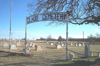
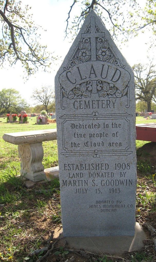
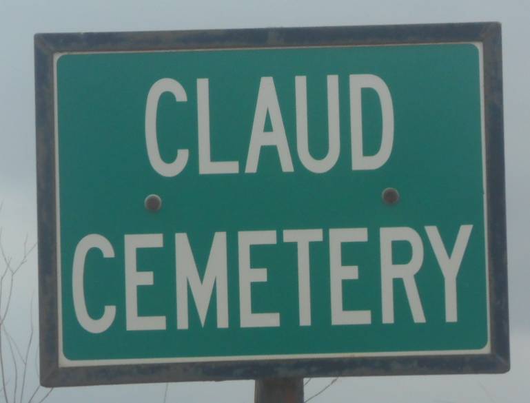
| Description | : | Driving Directions to Claud Cemetery: On new Oklahoma Highway 7, approximately 3 miles east of Velma, turn north on Purdue Avenue (across from the Alma Baptist Church sign). Go 4.3 miles to Baseline Roadd. (a 'T' intersection). Turn East on Baseline Road and go 1 mile to the first Claud Cemetery sign (on the south side of the road). Then turn south and go 7/10ths of a mile to the second Claud Cemetery sign (on west side of roadd) then turn west and go 2/10ths mile to the entrance gate. |
frequently asked questions (FAQ):
-
Where is Claud Cemetery?
Claud Cemetery is located at Stephens County ,Oklahoma ,USA.
-
Claud Cemetery cemetery's updated grave count on graveviews.com?
0 memorials
-
Where are the coordinates of the Claud Cemetery?
Latitude: 34.4972000
Longitude: -97.6018982
Nearby Cemetories:
1. Nancy Tipps Gravesite
Stephens County, USA
Coordinate: 34.5088936, -97.6312400
2. Old Jackson Cemetery
Velma, Stephens County, USA
Coordinate: 34.4653400, -97.6395200
3. Tussy Cemetery
Tussy, Garvin County, USA
Coordinate: 34.5073000, -97.5475600
4. New Velma Cemetery
Velma, Stephens County, USA
Coordinate: 34.4624500, -97.6572700
5. Alma Cemetery
Alma, Stephens County, USA
Coordinate: 34.4328003, -97.6130981
6. Velma Cemetery
Velma, Stephens County, USA
Coordinate: 34.4624500, -97.6730800
7. Dripping Springs Cemetery
Pernell, Garvin County, USA
Coordinate: 34.5161018, -97.5177994
8. Passmore Cemetery
Velma, Stephens County, USA
Coordinate: 34.4693985, -97.6892014
9. Robberson Cemetery
Garvin County, USA
Coordinate: 34.5477982, -97.5302963
10. Sandy Bear Cemetery
Stephens County, USA
Coordinate: 34.5710983, -97.5631027
11. Ratliff City Cemetery
Ratliff City, Carter County, USA
Coordinate: 34.4544870, -97.5130550
12. Monk Cemetery
Ratliff City, Carter County, USA
Coordinate: 34.4580994, -97.4925003
13. Stewart Family Cemetery
Velma, Stephens County, USA
Coordinate: 34.4519000, -97.7151000
14. Tatums Cemetery
Tatums, Carter County, USA
Coordinate: 34.4674988, -97.4738998
15. Owens Prairie Cemetery
Stephens County, USA
Coordinate: 34.5797005, -97.7161026
16. Wyatt Chapel Cemetery
Foster, Garvin County, USA
Coordinate: 34.5699043, -97.4765396
17. Little Flock Cemetery
Elmore City, Garvin County, USA
Coordinate: 34.5667400, -97.4564000
18. Foster Cemetery
Foster, Garvin County, USA
Coordinate: 34.6039009, -97.4935989
19. Mountain Grove Cemetery
Loco, Stephens County, USA
Coordinate: 34.3582993, -97.6607971
20. Parks Cemetery
Stephens County, USA
Coordinate: 34.3950005, -97.7382965
21. Oil Spring Cemetery
Tatums, Carter County, USA
Coordinate: 34.4897003, -97.4124985
22. Bear Creek Cemetery
Stephens County, USA
Coordinate: 34.6279200, -97.7087300
23. Cruce Cemetery
Stephens County, USA
Coordinate: 34.5311110, -97.7938880
24. Loco Cemetery
Loco, Stephens County, USA
Coordinate: 34.3274994, -97.6682968