
| Memorials | : | 42 |
| Location | : | Prairie Center Township, Clay County, USA |
| Coordinate | : | 42.8987700, -96.9065600 |
| Description | : | Named for Clay Point community. Land donated by Mr. and Mrs. John Ruthberg when established in 1883. (Clay County Place Names, 1976 pp. 39-40) The Swedish Congregational Church: Historically, the Swedish congregation was a product of the movement for religious freedom that had swept through the mother country during the middle of the 19th century and carried to America. A “free church” congregation was formed in 1874 at Komstad, Glenwood Township, as a Swedish Mission Church. It was affiliated with the Mission Synod. At about the same time, a congregation, known as the Clay... Read More |
frequently asked questions (FAQ):
-
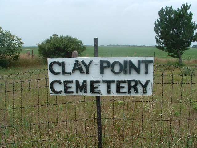
Where is Clay Point Cemetery?
Clay Point Cemetery is located at SE1/4SE1/4 Section 6, Township 93 North, Range 51 West of the 5th Principal Meridian Prairie Center Township, Clay County ,South Dakota ,USA.
-
Clay Point Cemetery cemetery's updated grave count on graveviews.com?
42 memorials
-
Where are the coordinates of the Clay Point Cemetery?
Latitude: 42.8987700
Longitude: -96.9065600
Nearby Cemetories:
1. Spirit Mound Cemetery
Clay County, USA
Coordinate: 42.8885994, -96.9424973
2. Dalesburg Lutheran Cemetery
Vermillion, Clay County, USA
Coordinate: 42.9389424, -96.9242594
3. Saint Peter Greenfield Cemetery
Vermillion, Clay County, USA
Coordinate: 42.8608017, -96.8644028
4. Rockfield Cemetery
Clay County, USA
Coordinate: 42.9397011, -96.8302994
5. Dalesburg Baptist Cemetery
Dalesburg, Clay County, USA
Coordinate: 42.9675102, -96.8850403
6. Clay Creek Cemetery
Clay County, USA
Coordinate: 42.8516998, -96.9788971
7. Mortvedt Cemetery
Clay County, USA
Coordinate: 42.9169006, -97.0028000
8. Pleasant Valley Cemetery
Westerville, Clay County, USA
Coordinate: 42.9247017, -97.0124969
9. Old Lodi Cemetery
Lodi, Clay County, USA
Coordinate: 42.9757996, -96.9907990
10. Saint Mary Cemetery
Union County, USA
Coordinate: 42.8520584, -96.7877502
11. Bethel Baptist Cemetery
Wakonda, Clay County, USA
Coordinate: 42.9393570, -97.0433520
12. Roseni Lutheran Church Cemetery
Beresford, Union County, USA
Coordinate: 42.9388000, -96.7639000
13. New Lodi Cemetery
Lodi, Clay County, USA
Coordinate: 42.9530983, -97.0417023
14. Olbue Lerseth Cemetery
Beresford, Union County, USA
Coordinate: 42.9281100, -96.7516100
15. Saint Agnes Cemetery
Vermillion, Clay County, USA
Coordinate: 42.7872009, -96.8499985
16. Danefield Seventh Day Advent Cemetery
Clay County, USA
Coordinate: 43.0108000, -96.8452300
17. Saint Patricks Catholic Cemetery
Wakonda, Clay County, USA
Coordinate: 42.9672012, -97.0516968
18. Saint Agnes Calvary Cemetery
Vermillion, Clay County, USA
Coordinate: 42.7715900, -96.9072100
19. Bluff View Cemetery
Vermillion, Clay County, USA
Coordinate: 42.7714000, -96.9056000
20. CJ Anderson Homestead
Riverside Township, Clay County, USA
Coordinate: 43.0214180, -96.9675540
21. Ahlsborg Lutheran Cemetery
Union County, USA
Coordinate: 42.8228000, -96.7612000
22. Dowlin Cemetery
Burbank, Clay County, USA
Coordinate: 42.7789001, -96.8107986
23. Taylor Cemetery
Clay County, USA
Coordinate: 42.8372002, -97.0785980
24. Pleasant Hill Cemetery Old
Spink, Union County, USA
Coordinate: 42.8588462, -96.7215592