
| Memorials | : | 12 |
| Location | : | Cannelton, Perry County, USA |
| Coordinate | : | 37.9122270, -86.7352520 |
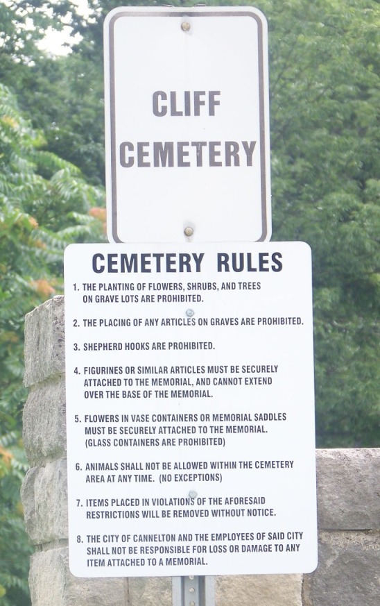
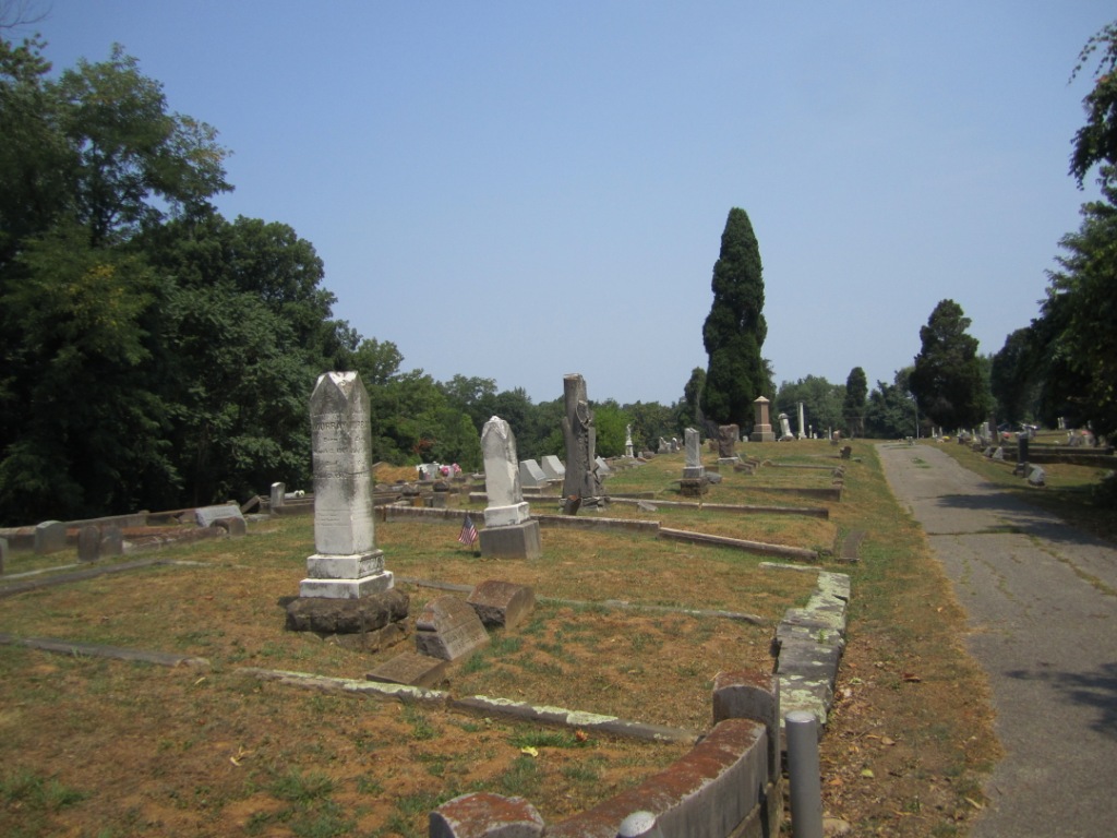
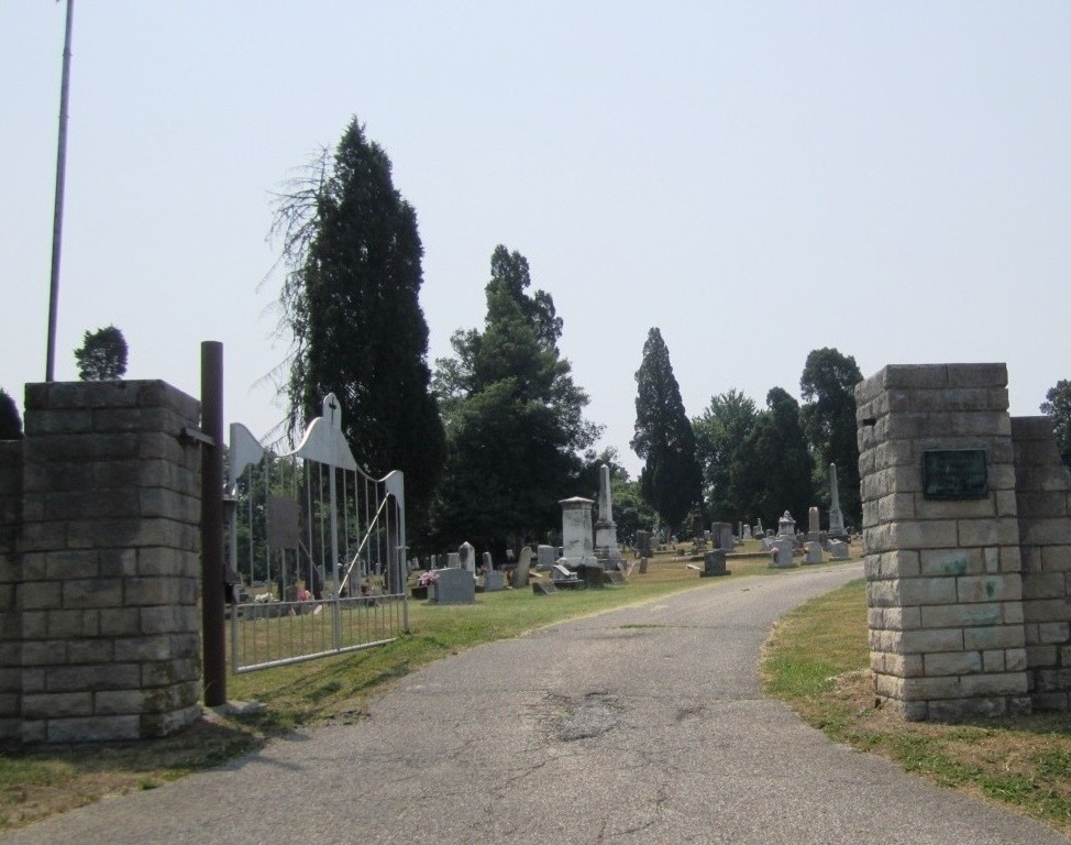
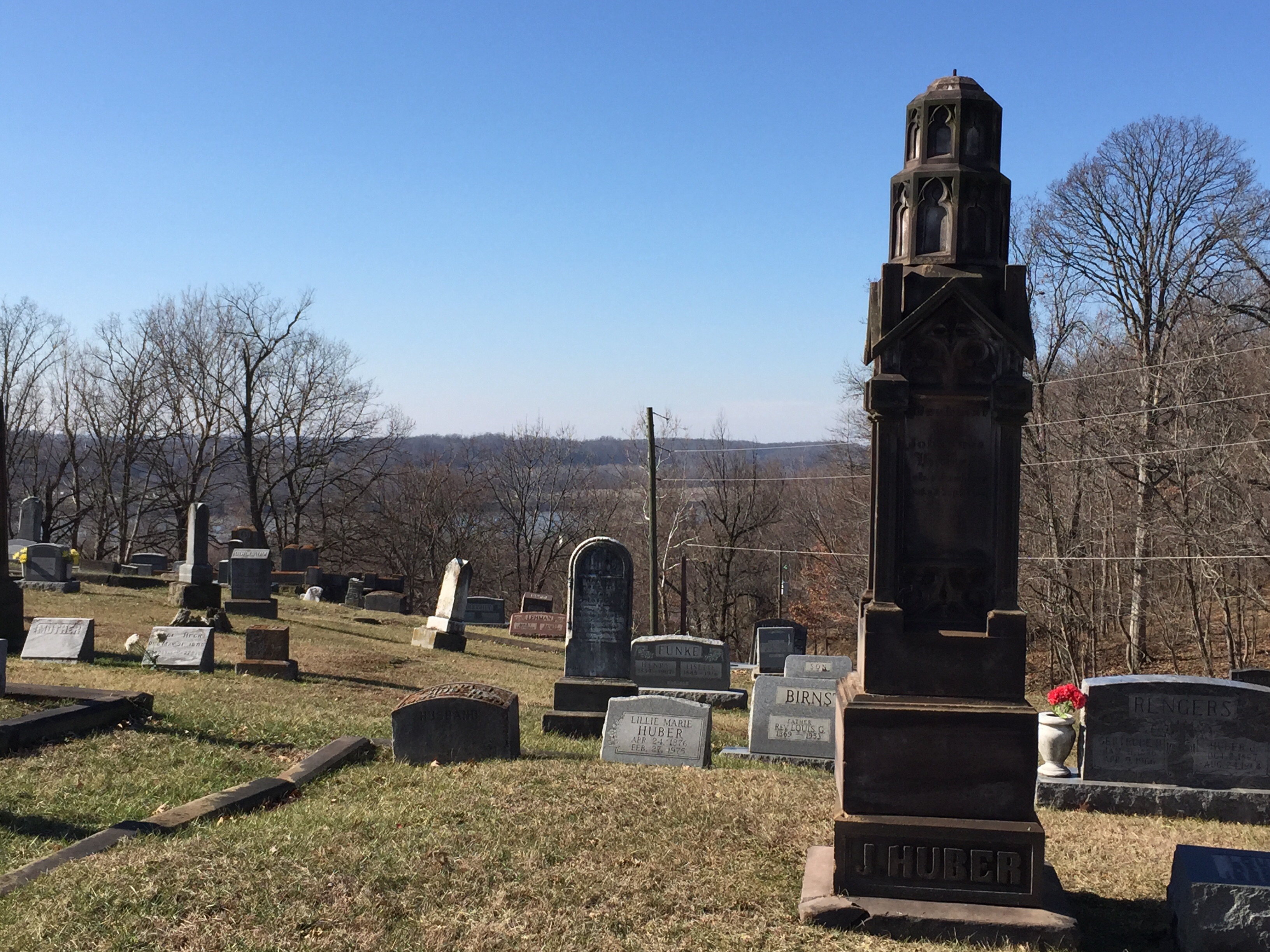
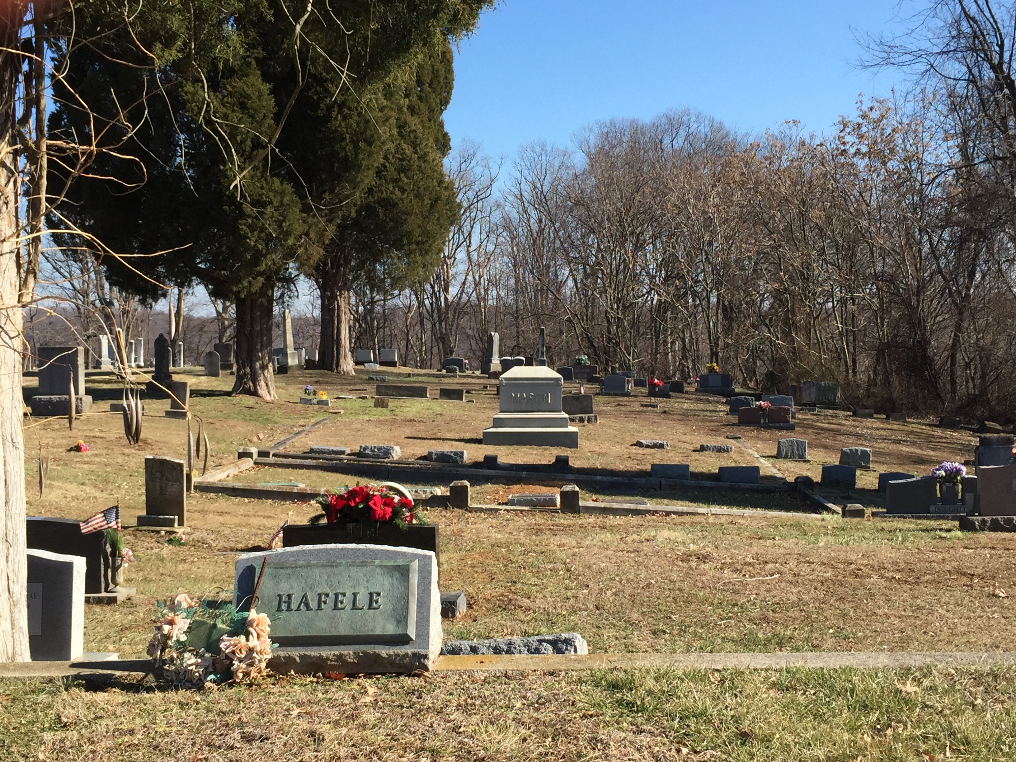
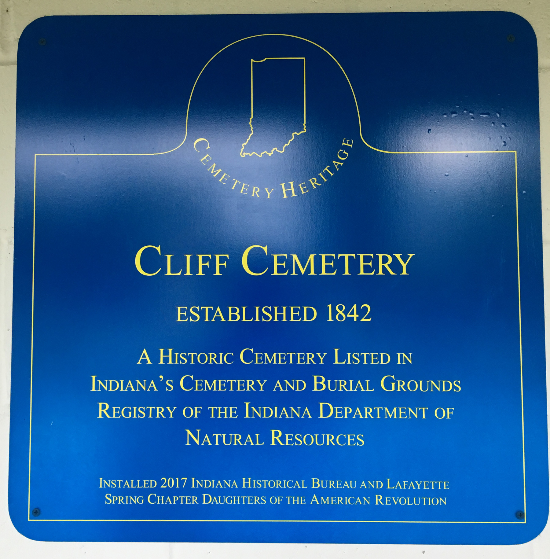
| Description | : | The cemetery is located on the southeast side of Washington Street. Indiana Cemetery Locations, Volume 1, published by the Indiana Genealogical Society (02 April 2005), gives the primary cemetery name as Old Cliff Cemetery. The cemetery is listed in the Cemetery and Burial Grounds Registry of the Indiana Department of Natural Resources (DNR) and in the State Historical Architectural and Archaeological Research Database (SHAARD) with Cemetery Record Number CR-62-106 (Cliff). |
frequently asked questions (FAQ):
-
Where is Cliff Cemetery?
Cliff Cemetery is located at Washington Street Cannelton, Perry County ,Indiana , 47520USA.
-
Cliff Cemetery cemetery's updated grave count on graveviews.com?
12 memorials
-
Where are the coordinates of the Cliff Cemetery?
Latitude: 37.9122270
Longitude: -86.7352520
Nearby Cemetories:
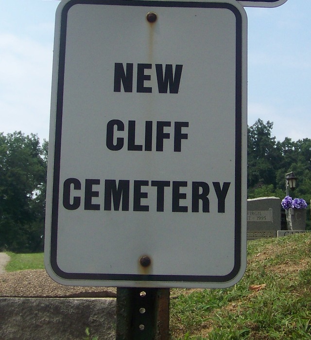
1. New Cliff Cemetery
Cannelton, Perry County, USA
Coordinate: 37.9131760, -86.7359460
2. Saint Michaels Cemetery
Cannelton, Perry County, USA
Coordinate: 37.9164009, -86.7332993
3. First Cannelton Cemetery
Cannelton, Perry County, USA
Coordinate: 37.9099030, -86.7417420
4. Fournier Cemetery
Cannelton, Perry County, USA
Coordinate: 37.9118570, -86.7272720
5. Walnut Grove Cemetery
Tell City, Perry County, USA
Coordinate: 37.9275720, -86.7412670
6. Hawesville Cemetery
Hawesville, Hancock County, USA
Coordinate: 37.8982100, -86.7546200
7. Cavender Cemetery
Cannelton, Perry County, USA
Coordinate: 37.8978090, -86.7146910
8. Saint Paul Cemetery
Hawesville, Hancock County, USA
Coordinate: 37.8969780, -86.7592740
9. Ayres Cemetery
Hawesville, Hancock County, USA
Coordinate: 37.9015700, -86.7778000
10. Mount Calvary Cemetery
Hawesville, Hancock County, USA
Coordinate: 37.9001300, -86.7774300
11. Bolin Cemetery
Cannelton, Perry County, USA
Coordinate: 37.9384820, -86.7049380
12. Serenity Hills Cemetery
Hawesville, Hancock County, USA
Coordinate: 37.9007600, -86.7781890
13. Chestnut Grove Cemetery
Tell City, Perry County, USA
Coordinate: 37.9475250, -86.7246094
14. Mosby Cemetery
Tell City, Perry County, USA
Coordinate: 37.9597630, -86.7572160
15. Thresher Cemetery
Troy Township, Perry County, USA
Coordinate: 37.9567440, -86.7036900
16. Mason Cemetery
Cannelton, Perry County, USA
Coordinate: 37.9168130, -86.6696620
17. Greenwood Cemetery
Tell City, Perry County, USA
Coordinate: 37.9644012, -86.7506027
18. Buxton Cemetery
Hancock County, USA
Coordinate: 37.9021850, -86.8021020
19. Beauchamp Family Cemetery #8
Lewisport, Hancock County, USA
Coordinate: 37.9242760, -86.8043390
20. Powell Cemetery
Tell City, Perry County, USA
Coordinate: 37.9678460, -86.7269160
21. Fairview Cemetery
Hancock County, USA
Coordinate: 37.8885994, -86.6669006
22. Saint Marys Catholic Cemetery
Tell City, Perry County, USA
Coordinate: 37.9664307, -86.7682190
23. Sterrett Cemetery
Hancock County, USA
Coordinate: 37.8878070, -86.6601460
24. Kahler Cemetery
Tell City, Perry County, USA
Coordinate: 37.9807000, -86.7519000