
| Memorials | : | 4 |
| Location | : | Tell City, Perry County, USA |
| Coordinate | : | 37.9664307, -86.7682190 |
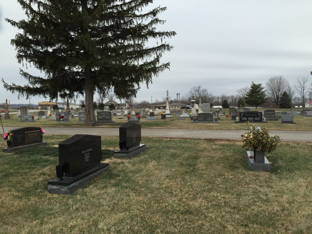
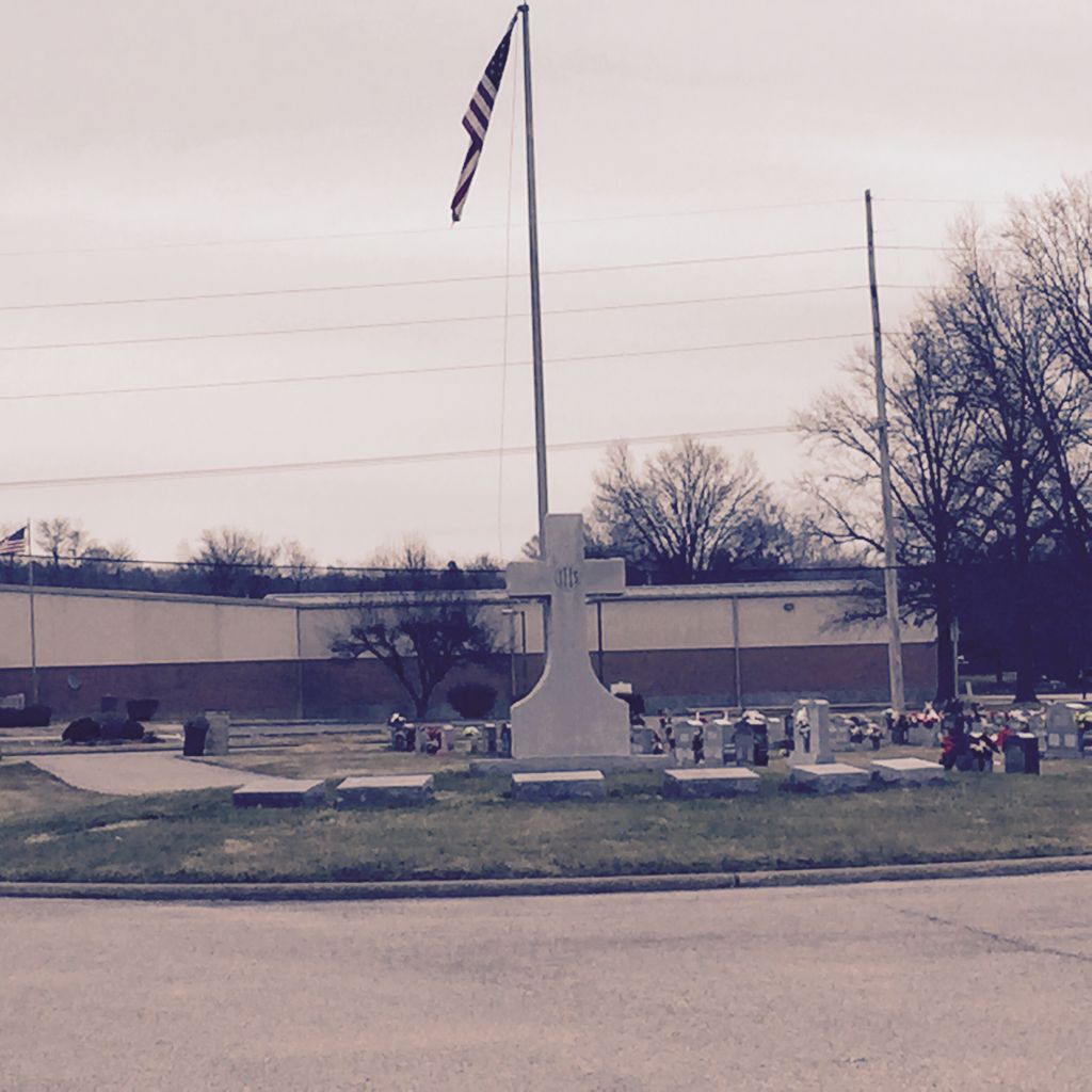
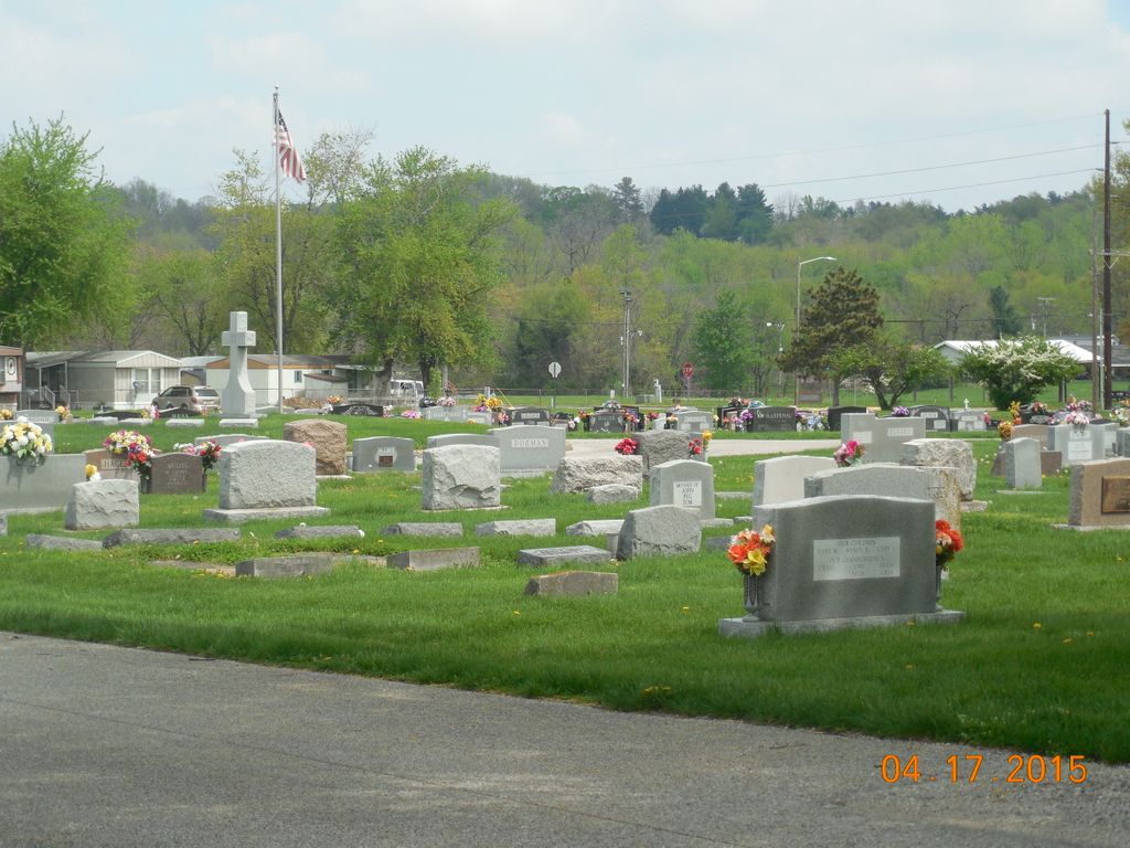
| Description | : | The cemetery is located in Tell City. The cemetery is bounded by Watt Street on the north, 10th Street on the east, Winkelreid Street on the south, and he Ohio River Scenic Byway (Indiana State Highway 66). Indiana Cemetery Locations, Volume 1, published by the Indiana Genealogical Society (02 April 2005), gives the primary cemetery name as Saint Mary Cemetery. The cemetery is listed in the Cemetery and Burial Grounds Registry of the Indiana Department of Natural Resources (DNR) and in the State Historical Architectural and Archaeological Research Database (SHAARD) with Cemetery Record Number CR-62-115 (Saint Mary /... Read More |
frequently asked questions (FAQ):
-
Where is Saint Marys Catholic Cemetery?
Saint Marys Catholic Cemetery is located at 9th Street Tell City, Perry County ,Indiana , 47586USA.
-
Saint Marys Catholic Cemetery cemetery's updated grave count on graveviews.com?
0 memorials
-
Where are the coordinates of the Saint Marys Catholic Cemetery?
Latitude: 37.9664307
Longitude: -86.7682190


Nearby Cemetories:
1. Mosby Cemetery
Tell City, Perry County, USA
Coordinate: 37.9597630, -86.7572160
2. Greenwood Cemetery
Tell City, Perry County, USA
Coordinate: 37.9644012, -86.7506027
3. Kahler Cemetery
Tell City, Perry County, USA
Coordinate: 37.9807000, -86.7519000
4. Saint Pius Cemetery
Troy, Perry County, USA
Coordinate: 37.9919014, -86.7866974
5. Powell Cemetery
Tell City, Perry County, USA
Coordinate: 37.9678460, -86.7269160
6. Chestnut Grove Cemetery
Tell City, Perry County, USA
Coordinate: 37.9475250, -86.7246094
7. Troy City Cemetery
Troy, Perry County, USA
Coordinate: 38.0003204, -86.8027191
8. Calvary Cemetery
Troy, Perry County, USA
Coordinate: 38.0011970, -86.8026340
9. Walnut Grove Cemetery
Tell City, Perry County, USA
Coordinate: 37.9275720, -86.7412670
10. Osborn Cemetery
Maxville, Spencer County, USA
Coordinate: 38.0113000, -86.7894000
11. Huff Cemetery
Spencer County, USA
Coordinate: 38.0119019, -86.7928009
12. Ritchards Cemetery
Anderson Township, Perry County, USA
Coordinate: 38.0025894, -86.7233439
13. Wright Cemetery
Maxville, Spencer County, USA
Coordinate: 38.0160000, -86.7818000
14. Nixon Cemetery
Perry County, USA
Coordinate: 38.0099983, -86.7350006
15. Beauchamp Family Cemetery #8
Lewisport, Hancock County, USA
Coordinate: 37.9242760, -86.8043390
16. Thresher Cemetery
Troy Township, Perry County, USA
Coordinate: 37.9567440, -86.7036900
17. McDaniel Cemetery
Maxville, Spencer County, USA
Coordinate: 38.0010986, -86.8230972
18. Saint Michaels Cemetery
Cannelton, Perry County, USA
Coordinate: 37.9164009, -86.7332993
19. Bolin Cemetery
Cannelton, Perry County, USA
Coordinate: 37.9384820, -86.7049380
20. Thrashers Cemetery
Hancock County, USA
Coordinate: 37.9653015, -86.8407974
21. Greathouse Cemetery
Hancock County, USA
Coordinate: 37.9578018, -86.8399963
22. New Cliff Cemetery
Cannelton, Perry County, USA
Coordinate: 37.9131760, -86.7359460
23. Cliff Cemetery
Cannelton, Perry County, USA
Coordinate: 37.9122270, -86.7352520
24. First Cannelton Cemetery
Cannelton, Perry County, USA
Coordinate: 37.9099030, -86.7417420