| Memorials | : | 14 |
| Location | : | Hayfield, Frederick County, USA |
| Coordinate | : | 39.1902906, -78.3351269 |
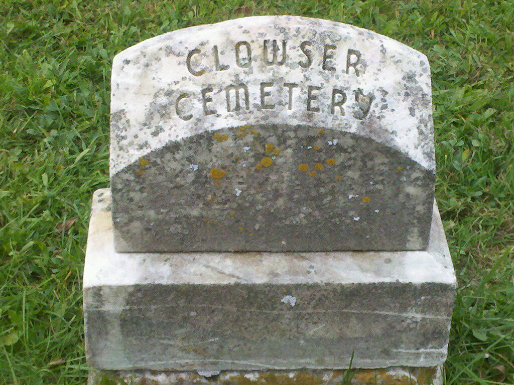
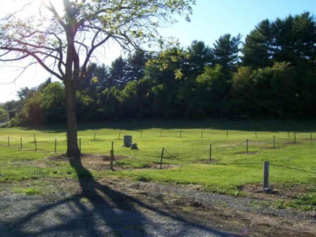
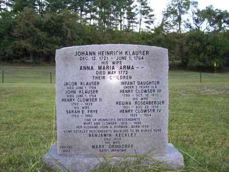
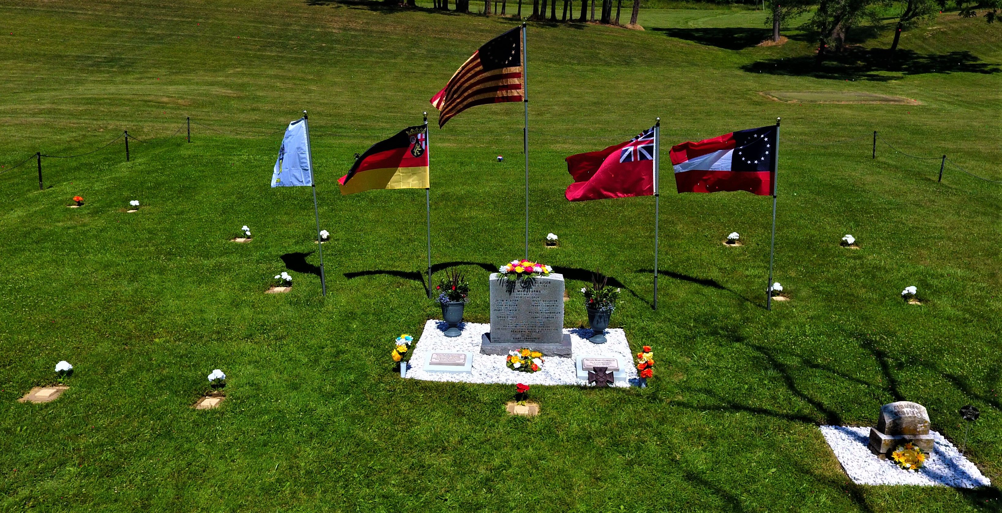
| Description | : | This is the first known cemetery for the original Klauser/Clauser/Clowser family that traveled from Germany through Pennsylvania & coming down Packhorse Ford Road to "Clowser Gap." The first Henry, two of his sons Jacob & John and a baby daughter were killed 6/1/1764 in a Deleware Indian Massacre as they headed from Clowser Gap to White's Fort. Enroute, the men and baby were killed and the his wife and daughters were taken captive by the Indians. The men and baby were buried 6/2/1964 in this cemetery. Several years after the raid, the women were released and... Read More |
frequently asked questions (FAQ):
-
Where is Clowser Cemetery?
Clowser Cemetery is located at Tomahawk Trail Hayfield, Frederick County ,Virginia , 22602USA.
-
Clowser Cemetery cemetery's updated grave count on graveviews.com?
14 memorials
-
Where are the coordinates of the Clowser Cemetery?
Latitude: 39.1902906
Longitude: -78.3351269
Nearby Cemetories:
1. Lamps Memorial Methodist Church Cemetery
Mount Pleasant, Frederick County, USA
Coordinate: 39.1725006, -78.2957993
2. Lamps Cemetery
Mount Williams, Frederick County, USA
Coordinate: 39.1740790, -78.2929980
3. Saint Johns Lutheran Church Cemetery
Hayfield, Frederick County, USA
Coordinate: 39.1530991, -78.3651962
4. Taylor Furnace Farm Cemetery
Mountain Falls, Frederick County, USA
Coordinate: 39.1547500, -78.3708500
5. Michael Anderson Graveyard
Rock Enon, Frederick County, USA
Coordinate: 39.2357674, -78.3515320
6. Rock Enon Church Cemetery
Rock Enon, Frederick County, USA
Coordinate: 39.2178612, -78.3863525
7. White Graveyard
Hayfield, Frederick County, USA
Coordinate: 39.2279015, -78.2931976
8. Mount Olive United Methodist Church Cemetery
Hayfield, Frederick County, USA
Coordinate: 39.2261009, -78.2872009
9. Wisecarver Cemetery
Frederick County, USA
Coordinate: 39.1375008, -78.2872009
10. Harper Graveyard
Round Hill, Frederick County, USA
Coordinate: 39.2076988, -78.2508163
11. Lockhart - Phillips Graveyard #2
Gore, Frederick County, USA
Coordinate: 39.2556613, -78.3603799
12. Saint Peter's Lutheran Church Cemetery
Mount Williams, Frederick County, USA
Coordinate: 39.1273994, -78.2970963
13. Pugh Family Cemetery
High View, Hampshire County, USA
Coordinate: 39.2282300, -78.4128600
14. Mount Pleasant Meeting House Cemetery
Mount Pleasant, Frederick County, USA
Coordinate: 39.1208000, -78.3043976
15. Lockhart - Phillips Cemetery
Gore, Frederick County, USA
Coordinate: 39.2641258, -78.3296422
16. Round Hill Presbyterian Church Cemetery
Round Hill, Frederick County, USA
Coordinate: 39.1899986, -78.2397003
17. Seibert Cemetery
Gore, Frederick County, USA
Coordinate: 39.2655672, -78.3232687
18. Round Hill United Methodist Church Cemetery
Round Hill, Frederick County, USA
Coordinate: 39.1942711, -78.2374115
19. Dunlap Family Cemetery
Lehew, Hampshire County, USA
Coordinate: 39.2059300, -78.4312400
20. Hodgson Cemetery
Round Hill, Frederick County, USA
Coordinate: 39.1963997, -78.2319031
21. Joseph Brumback Family Cemetery
Opequon, Frederick County, USA
Coordinate: 39.1119340, -78.3114700
22. Bethel Church Cemetery
Gore, Frederick County, USA
Coordinate: 39.2644005, -78.3780975
23. Shiloh United Methodist Church Cemetery
Lehew, Hampshire County, USA
Coordinate: 39.1961500, -78.4397600
24. Jeremiah Smith Family Cemetery
Gore, Frederick County, USA
Coordinate: 39.2710797, -78.3148690


