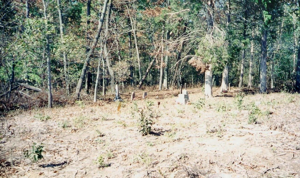
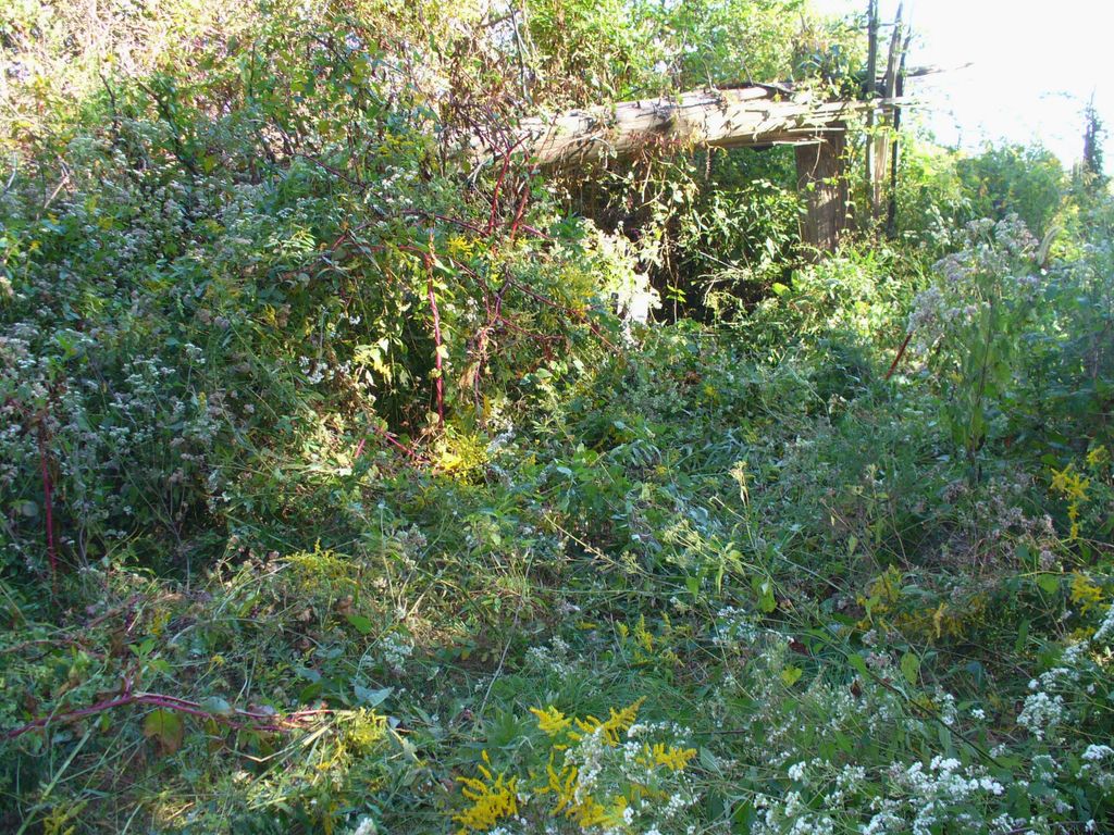
| Memorials | : | 0 |
| Location | : | Spring Garden, Jefferson County, USA |
| Coordinate | : | 38.1755900, -88.7934400 |
| Description | : | According to the 2010 census, the township has a total area of 36.59 square miles (94.8 km2), of which 36.36 square miles (94.2 km2) (or 99.37%) is land and 0.23 square miles (0.60 km2) (or 0.63%) is water.[1] The township is centered at 38°10'N 88°45'W (38.169,-88.754). This cemetery is actually located in Moore's Prairie Township, Jefferson County, Illinois, USA. |
frequently asked questions (FAQ):
-
Where is Cochrane Cemetery?
Cochrane Cemetery is located at Spring Garden, Jefferson County ,Illinois ,USA.
-
Cochrane Cemetery cemetery's updated grave count on graveviews.com?
0 memorials
-
Where are the coordinates of the Cochrane Cemetery?
Latitude: 38.1755900
Longitude: -88.7934400
Nearby Cemetories:
1. Grothoff Cemetery
Belle Rive, Jefferson County, USA
Coordinate: 38.1879200, -88.8076100
2. Hams Grove Cemetery
Spring Garden, Jefferson County, USA
Coordinate: 38.2106500, -88.8154100
3. Wilbanks Cemetery
Spring Garden, Jefferson County, USA
Coordinate: 38.1567001, -88.7497025
4. Smith Cemetery
Belle Rive, Jefferson County, USA
Coordinate: 38.2066200, -88.8242900
5. McKinney Cemetery
Spring Garden, Jefferson County, USA
Coordinate: 38.1717800, -88.8458300
6. Hope Cemetery
Spring Garden, Jefferson County, USA
Coordinate: 38.1413994, -88.8341980
7. Rentchler Cemetery
Belle Rive, Jefferson County, USA
Coordinate: 38.2228012, -88.7960968
8. Four Graves Cemetery
Belle Rive, Jefferson County, USA
Coordinate: 38.1746200, -88.7239800
9. Carroll Cemetery
Spring Garden, Jefferson County, USA
Coordinate: 38.1713982, -88.8628006
10. Round Knoll Cemetery
Bonnie, Jefferson County, USA
Coordinate: 38.2047900, -88.8531200
11. New Hope Cemetery
Belle Rive, Jefferson County, USA
Coordinate: 38.2202988, -88.7446976
12. Knowles Cemetery
Bonnie, Jefferson County, USA
Coordinate: 38.1789017, -88.8707962
13. Knowles Cemetery
Spring Garden Township, Jefferson County, USA
Coordinate: 38.1790641, -88.8714817
14. Fitzgerrell Cemetery
Ina, Jefferson County, USA
Coordinate: 38.1622009, -88.8711014
15. Wall Family Cemetery
Belle Rive, Jefferson County, USA
Coordinate: 38.2158012, -88.7272034
16. Thurmond Cemetery
Franklin County, USA
Coordinate: 38.1114006, -88.8210983
17. Smith Farm Cemetery
Opdyke, Jefferson County, USA
Coordinate: 38.2431500, -88.8034600
18. Lowry Hill Cemetery
Jefferson County, USA
Coordinate: 38.1772003, -88.7069016
19. Sugar Camp Cemetery
Jefferson County, USA
Coordinate: 38.1361008, -88.7221985
20. Ham Cemetery
Opdyke, Jefferson County, USA
Coordinate: 38.2414017, -88.8261032
21. Shelton Cemetery
Belle Rive, Jefferson County, USA
Coordinate: 38.2015100, -88.7057800
22. Old Williams Cemetery
Ewing Township, Franklin County, USA
Coordinate: 38.1217720, -88.8608430
23. Oak Hill Cemetery
Ewing, Franklin County, USA
Coordinate: 38.1127200, -88.7399500
24. Warren Cemetery
Jefferson County, USA
Coordinate: 38.2475014, -88.8274994


